
Cultural Triangle Yaxha-Nakum-Naranjo National Park
Mayan Classic period urban and sacred structures
Explore the Map
Cultural Triangle Yaxha-Nakum-Naranjo National Park
17.1150° N, -89.3840° E
About
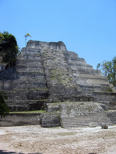
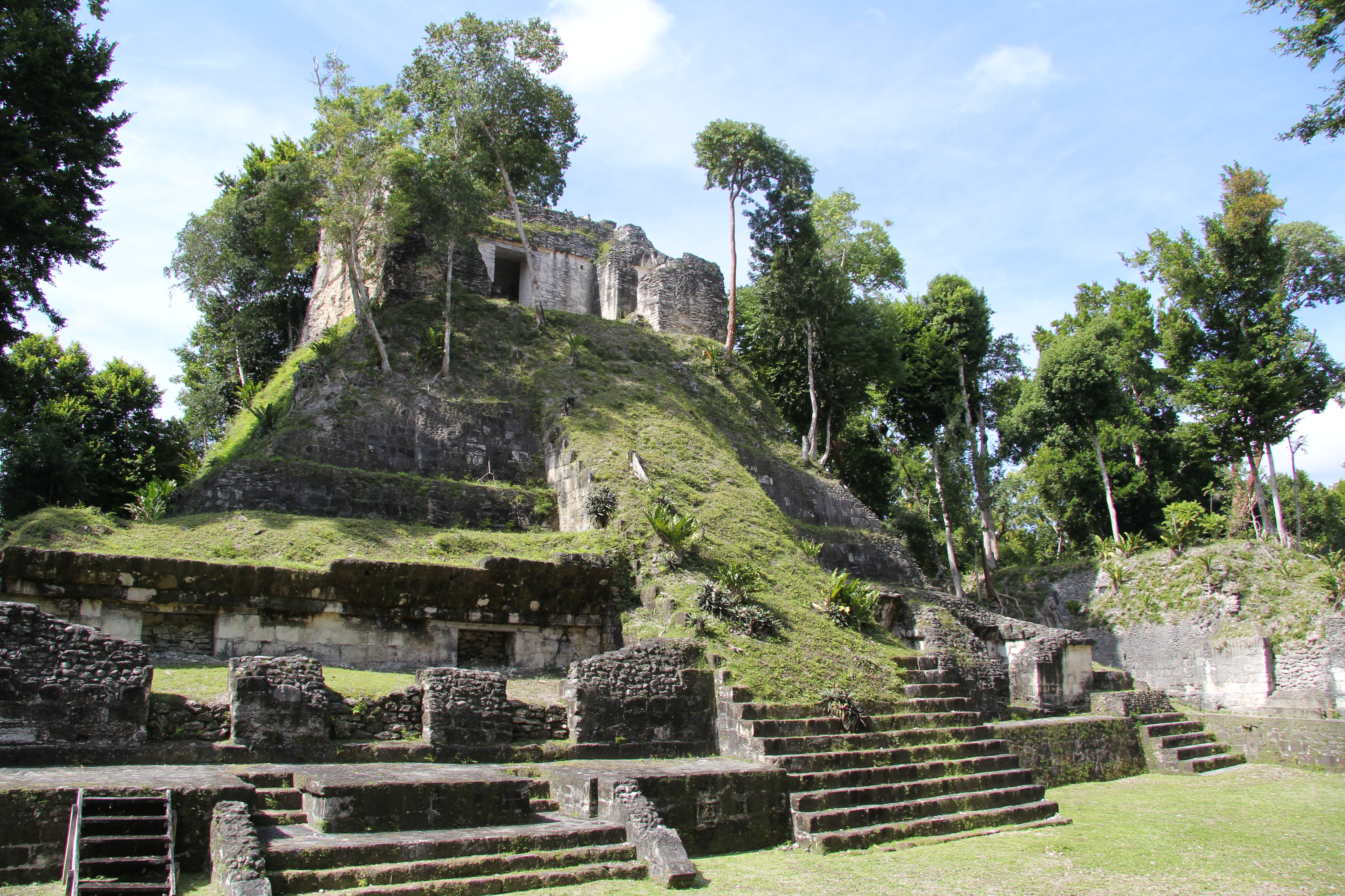
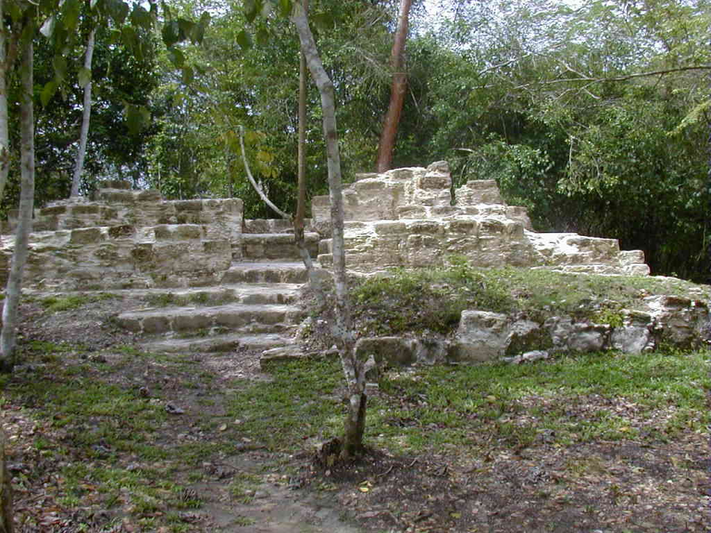
The Cultural Triangle Yaxha-Nakum-Naranjo National Park in Petén, Guatemala, encompasses a significant region of the Classic Maya period, covering 1,200 square kilometers with extensive archaeological remains. The area includes three major sites—Yaxha, Nakum, and Naranjo—and 14 sub-centers, representing a densely populated area during the Classic period (c. 250–900 CE). Key features of this area include temples, pyramids, palaces, and observatories. Yaxha, the largest site, showcases a network of sacred roads (sacbes) and various restored buildings, offering insights into the urban organization of the Maya civilization. Work has been conducted to preserve Postclassic architecture at Topoxte, emphasizing its importance as the only such site in the Petén Basin. This archaeological ensemble illustrates the architectural, cultural, and historical richness of the ancient Maya civilization, drawing tourists and researchers alike to explore its heritage.
Gallery
Explore photographs of ancient structures, artifacts, and archaeological excavations
Historical Timeline
Journey through time and discover key events in this site's history
Classic Period Occupation
250 CE to 900 CE
Postclassic Period Topoxte Architecture
950 CE to 1539 CE
Archaeological Features
Unique architectural and cultural elements found at this historical site
Burial and Funerary Structures
Religious and Ritual Structures
Domestic and Habitation Structures
Astronomical and Timekeeping Structures
Transportation and Communication Structures
Frequently Asked Questions
Plan Your Visit
Tours, travel arrangements, and practical information
More Sites in Guatemala
Tamarindito
Ancient Maya city on a hill escarpment.
Xultun
Large Classic Maya archaeological complex
Takalik Abaj
Large Mesoamerican site with Olmec-Maya features.
Nakum
Restored Maya site with monumental architecture.
El Pilar
Ancient Maya city with plazas and temples
Motul de San José
Significant Maya civic-ceremonial center.