
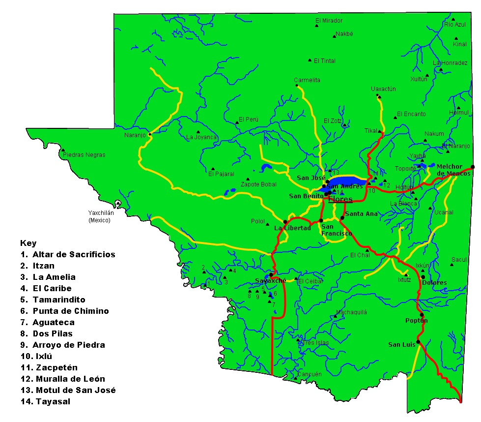
Explore the Map
Kinal
17.7000° N, -89.2417° E
About
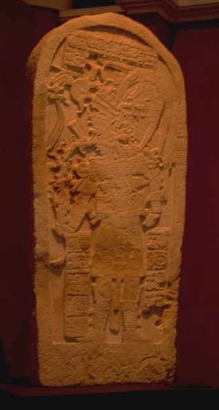
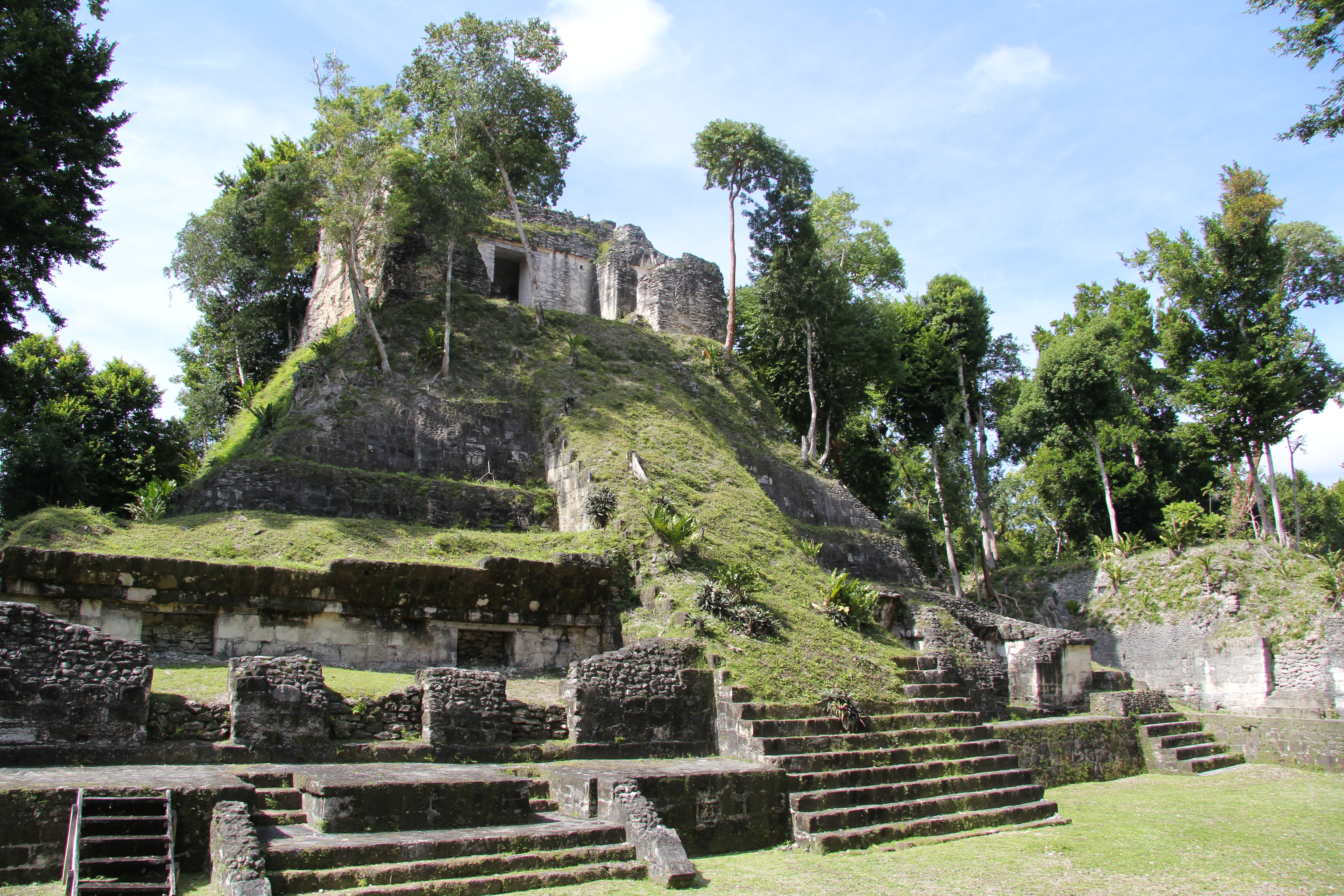
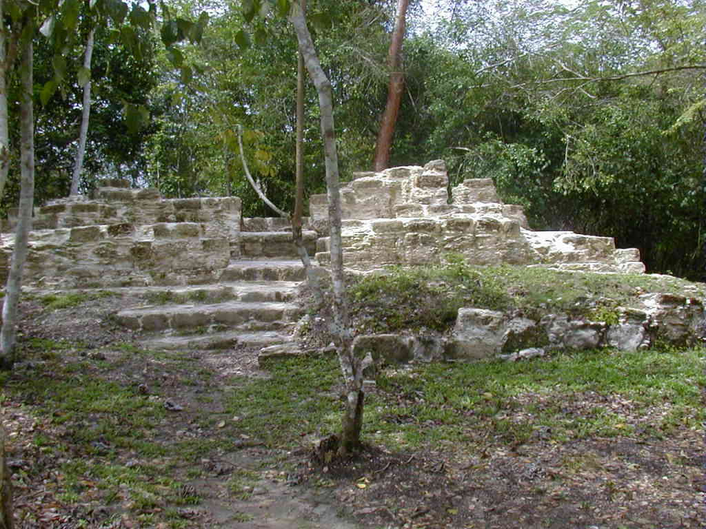
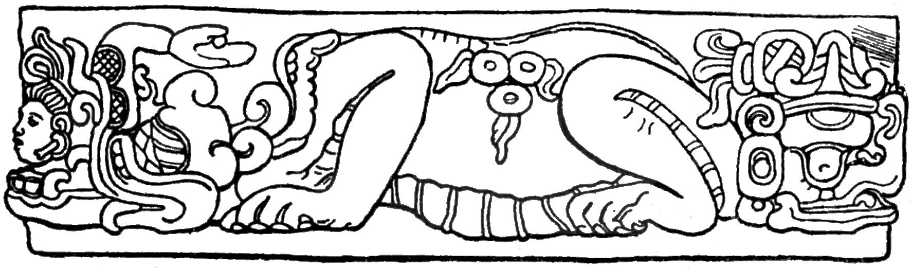
Kinal is a significant pre-Columbian Maya archaeological site located in the Petén Department of northern Guatemala. The site, primarily occupied during the Late Classic period (circa 600-900 CE), features a substantial city layout with defensive fortifications and a complex acropolis. Its strategic location on a limestone plateau, surrounded by swamps, provided natural defenses, augmented by constructed fortifications between 680 and 810 CE. The city is characterized by its absence of sculpted monuments and includes palatial structures, storage pits, and a central causeway. Kinal likely served as a regional administrative center following the decline of nearby Río Azul, reflecting a period of expansion and significance in Maya civilization.
Gallery
Explore photographs of ancient structures, artifacts, and archaeological excavations

Historical Timeline
Journey through time and discover key events in this site's history
Late Classic Occupation
600-900 CE
Fortification Construction
680-810 CE
8th Century Expansion
700-800 CE
Archaeological Features
Unique architectural and cultural elements found at this historical site
Storage Structures
Defensive Structures
Water Management Features
Public and Civic Structures
Domestic and Habitation Structures
Frequently Asked Questions
Plan Your Visit
Tours, travel arrangements, and practical information


More Sites in Guatemala

Mixco Viejo
Postclassic Maya fortified city with temples.
Machaquila
Major Maya city with sculpted monuments.
Nakum
Restored Maya site with monumental architecture.
El Pilar
Ancient Maya city with plazas and temples
Ucanal
Ancient Maya city with irrigation canals
Xultun
Large Classic Maya archaeological complex