Explore the Map
Quiriguá
15.2694° N, -89.0403° E
About
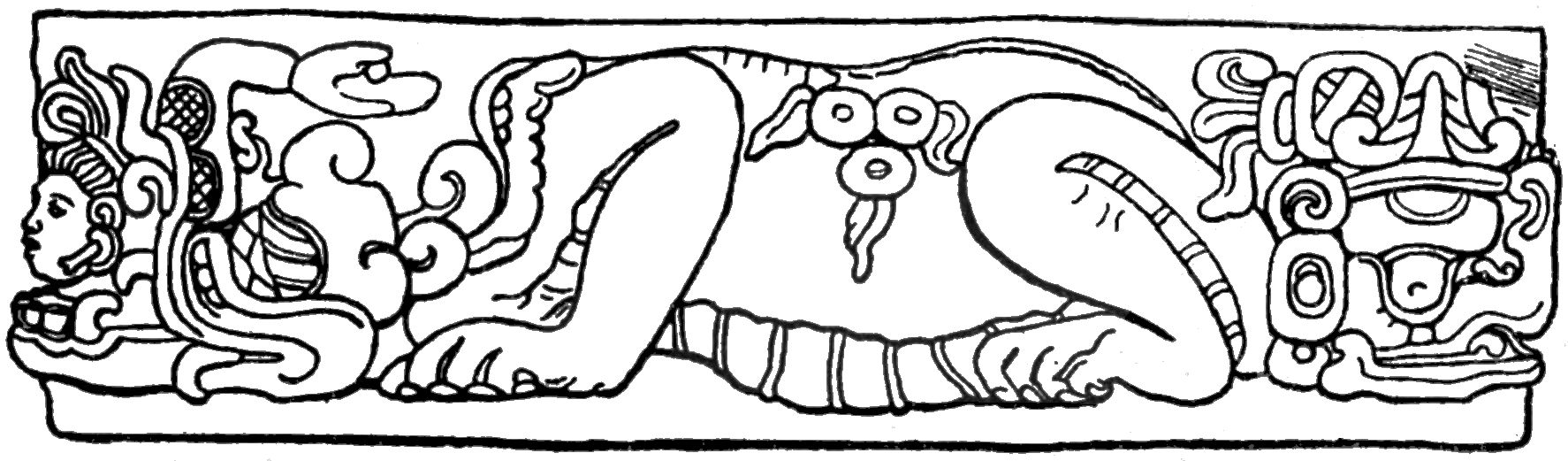
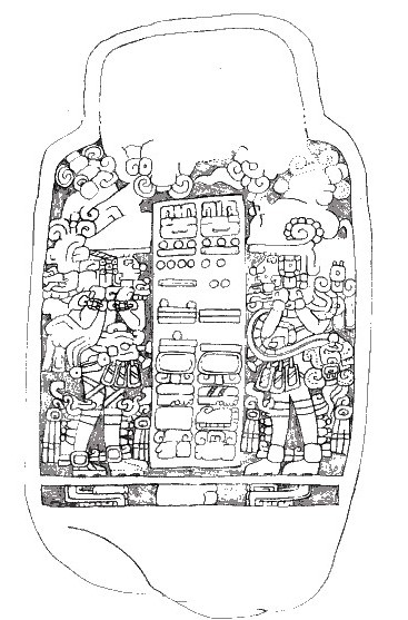
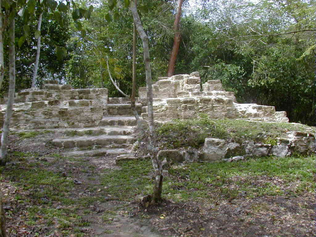
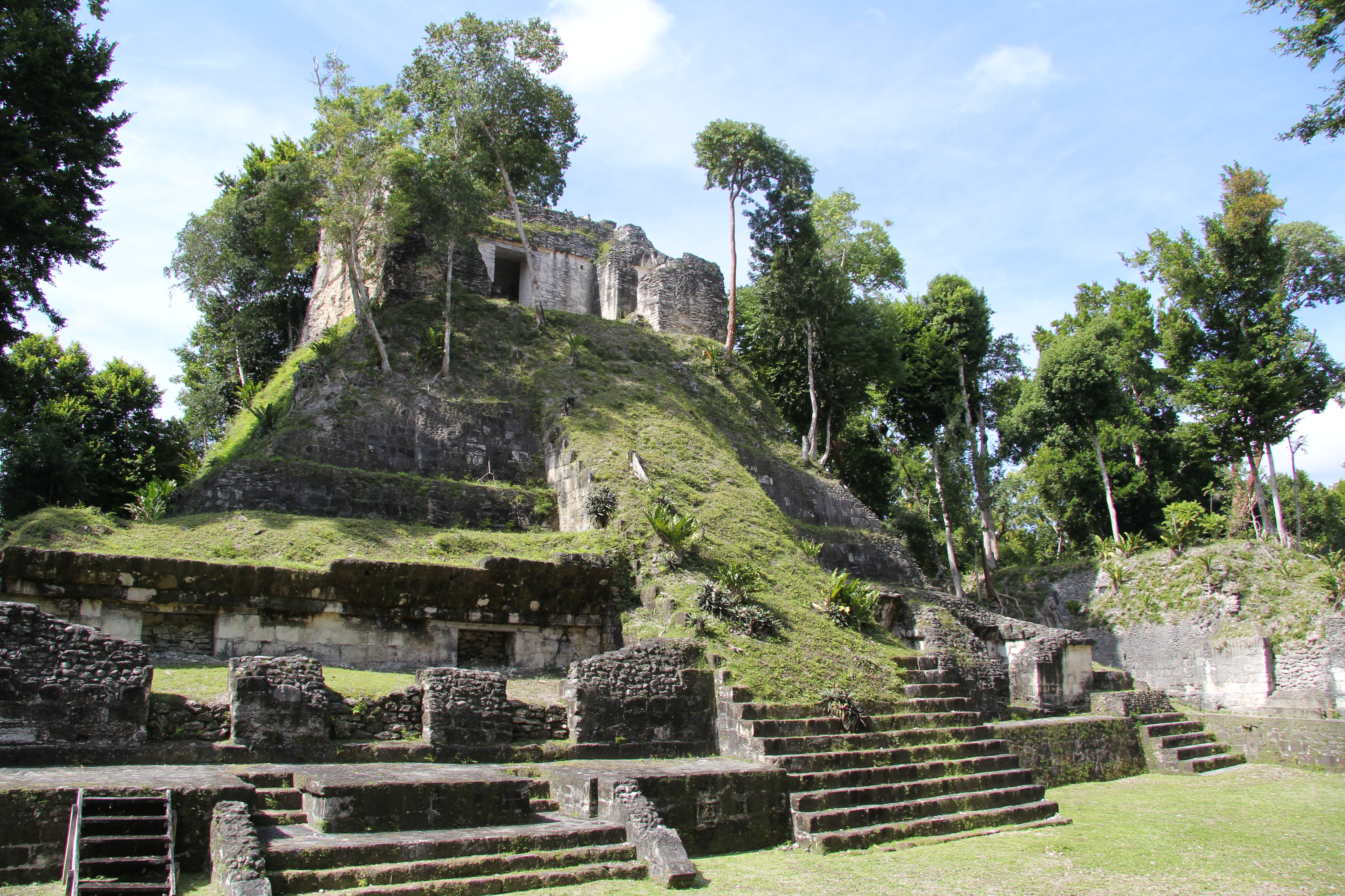
Quiriguá (Spanish pronunciation: [kiɾiˈɣwa]) is an ancient Maya archaeological site in the department of Izabal in south-eastern Guatemala. It is a medium-sized site covering approximately 3 square kilometres (1.2 sq mi) along the lower Motagua River, with the ceremonial center about 1 km (0.6 mi) from the north bank. During the Maya Classic Period (AD 200–900), Quiriguá was situated at the juncture of several important trade routes. The site was occupied by 200, construction on the acropolis had begun by about 550, and an explosion of grander construction started in the 8th century. All construction had halted by about 850, except for a brief period of reoccupation in the Early Postclassic (c. 900 – c. 1200). Quiriguá shares its architectural and sculptural styles with the nearby Classic Period city of Copán, with whose history it is closely entwined. Quiriguá's rapid expansion in the 8th century was tied to king K'ak' Tiliw Chan Yopaat's military victory over Copán in 738. When the greatest king of Copán, Uaxaclajuun Ub'aah K'awiil or "18-Rabbit", was defeated, he was captured and then sacrificed in the Great Plaza at Quiriguá. Before this, Quiriguá had been a vassal state of Copán, but it maintained its independence afterwards. The ceremonial architecture at Quiriguá is quite modest, but the site's importance lies in its wealth of sculpture, including the tallest stone monumental sculpture ever erected in the New World. Because of its historical importance, the site of Quiriguá was inscribed on the UNESCO World Heritage List in 1981.
Historical Timeline
Journey through time and discover key events in this site's history
Founding linked to Copán enthronement
5 September AD 426
Flood buried valley surface
6th–7th century
Occupation by AD 200
by AD 200
Stela erected by Tutuum Yohl K'inich
AD 455
Hiatus in monument construction
AD 495–653
Acropolis construction begun
by AD 550
Rapid expansion in 8th century
8th century
Victory over Copán and sacrifice
AD 738
Collapse of construction
by AD 850
Early Postclassic reoccupation
c. AD 900–c. AD 1200
UNESCO World Heritage inscription
1981
Archaeological Features
Unique architectural and cultural elements found at this historical site
Public and Civic Structures
Religious and Ritual Structures
Artistic and Decorative Features
Domestic and Habitation Structures
Environmental and Natural Features
Frequently Asked Questions
Plan Your Visit
Tours, travel arrangements, and practical information
More Sites in Guatemala
Tamarindito
Ancient Maya city on a hill escarpment.
Takalik Abaj
Large Mesoamerican site with Olmec-Maya features.
El Pilar
Ancient Maya city with plazas and temples
Motul de San José
Significant Maya civic-ceremonial center.
La Blanca, Peten
Mesoamerican site with acropolis and plazas
Nakum
Restored Maya site with monumental architecture.