
Cultural Landscape of Maymand
<p><span>Maymand is a self-contained, semi-arid area at the end of a valley at the southern extremity of Iran’s central mountains. The villagers are…
Explore the Map
Cultural Landscape of Maymand
30.1681° N, 55.3756° E
About
<p><span>Maymand is a self-contained, semi-arid area at the end of a valley at the southern extremity of Iran’s central mountains. The villagers are semi-nomadic agro-pastoralists. They raise their animals on mountain pastures, living in temporary settlements in spring and autumn. During the winter months they live lower down the valley in cave dwellings carved out of the soft rock (</span><em>kamar</em><span>), an unusual form of housing in a dry, desert environment. This cultural landscape is an example of a system that appears to have been more widespread in the past and involves the moveme
Plan Your Visit
Tours, travel arrangements, and practical information
Details
Iran
30.17° N, 55.38° E
More Sites in Iran
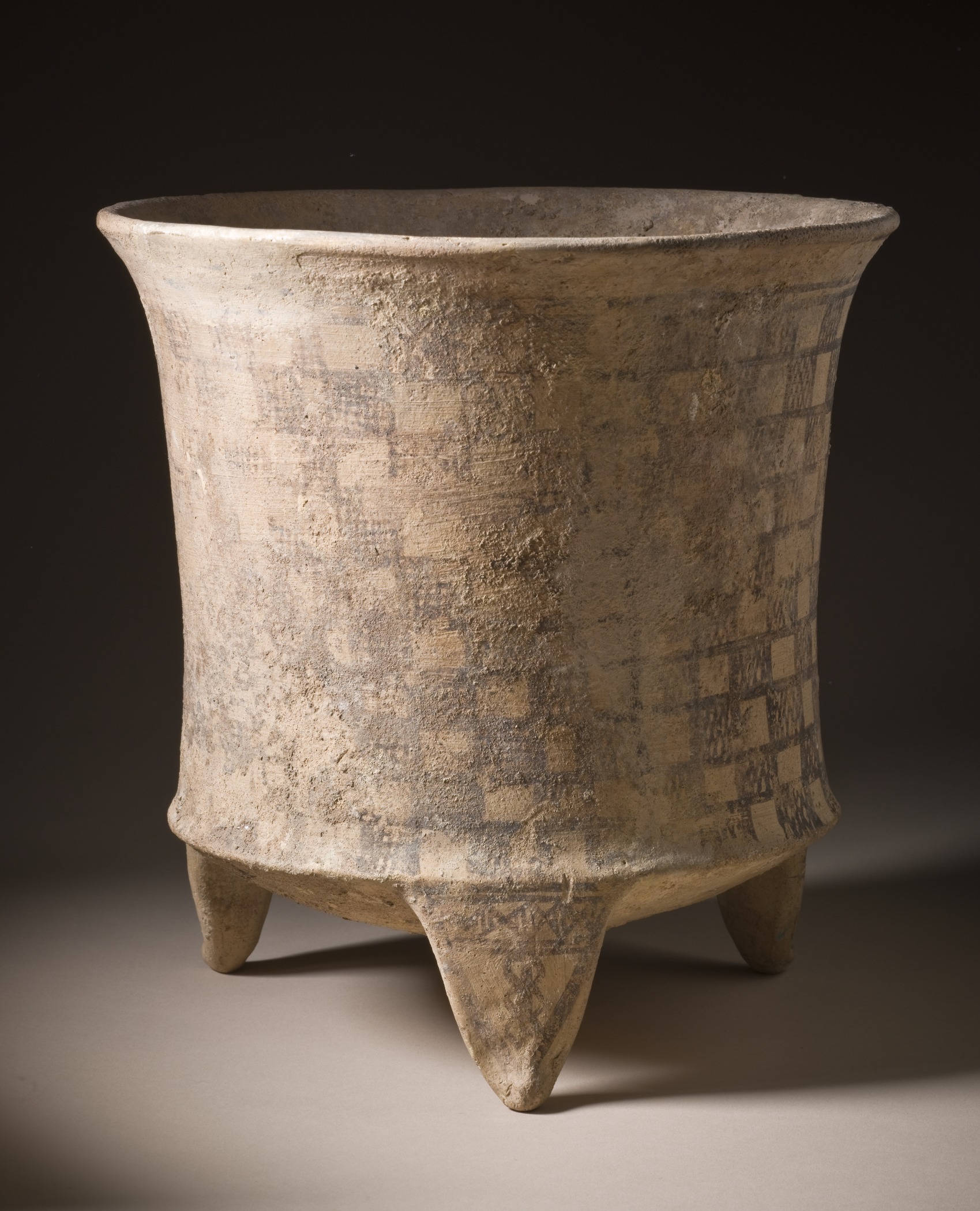
Tepe Giyan
Necropolis with distinctive pottery in Iran.
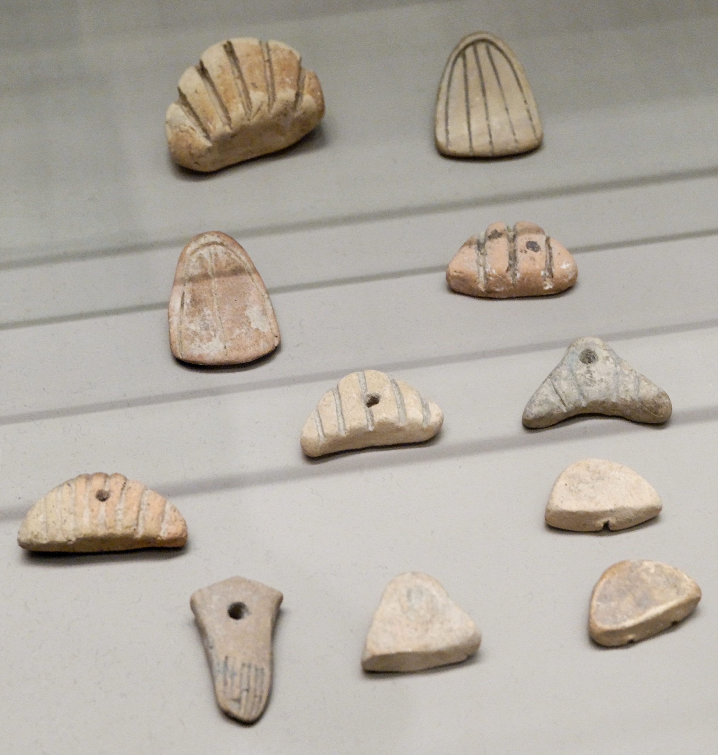
Tepe Sofalin
Ancient mound with Proto-Elamite artifacts
Chogha Bonut
Oldest lowland village in southwestern Iran.
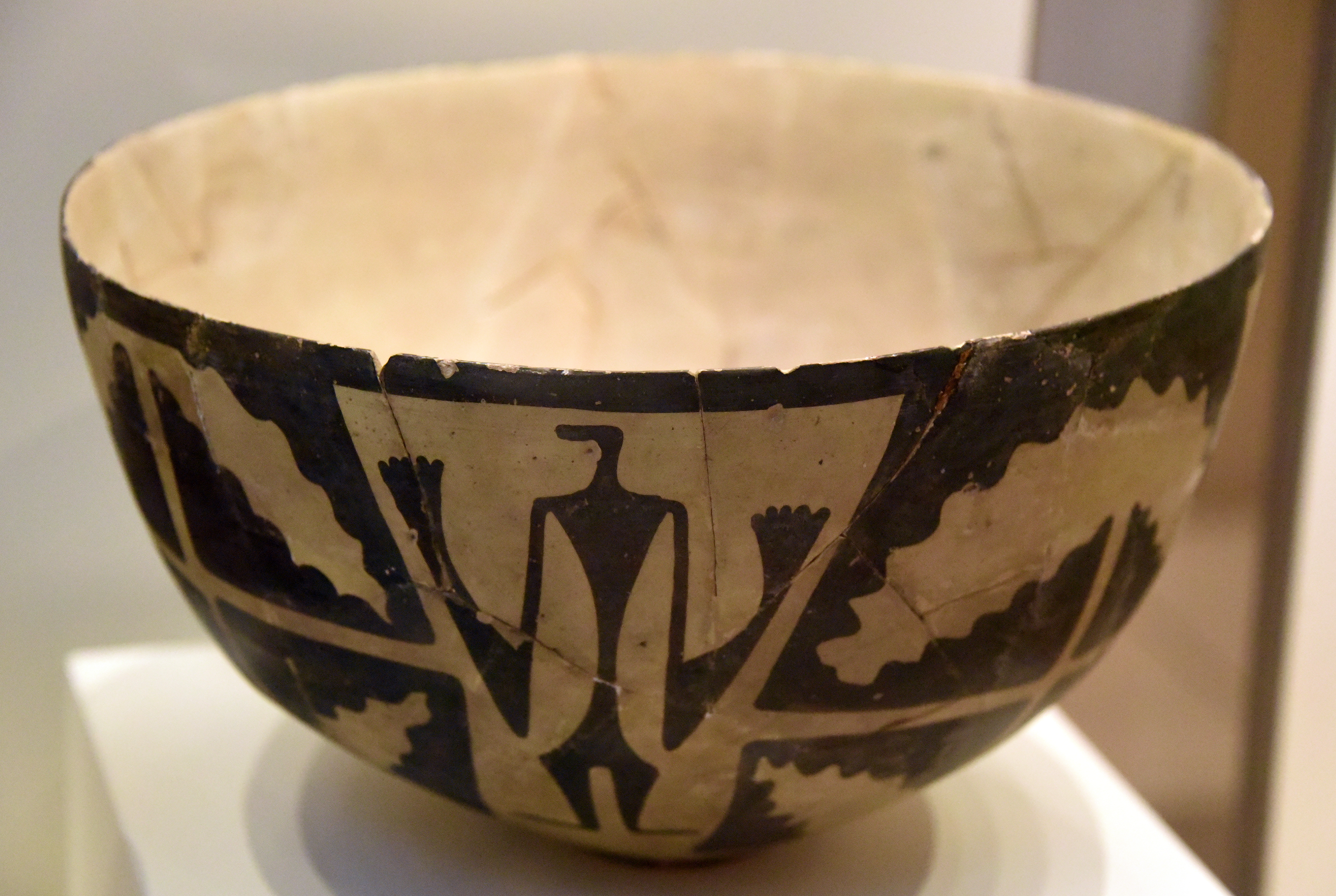
Tall-i Bakun
Prehistoric mounds with rich pottery culture
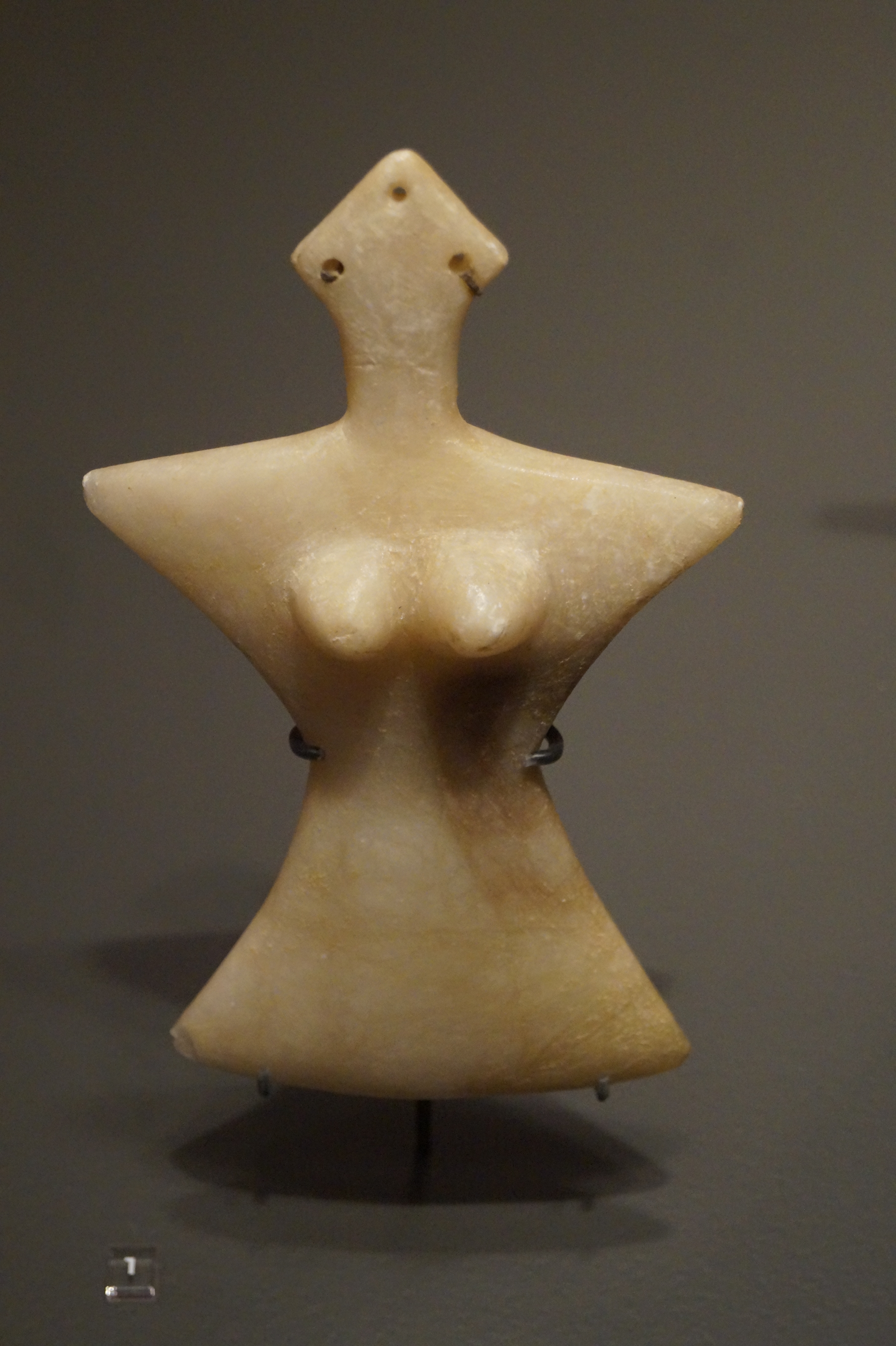
Tepe Hissar
Prehistoric site with rich cultural artifacts
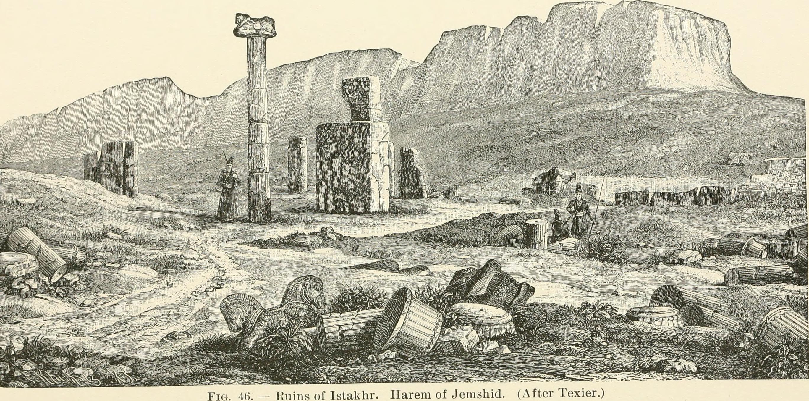
Istakhr
Ancient city with religious and defensive structures.