Explore the Map
Godin Tepe
34.5167° N, 48.0667° E
About
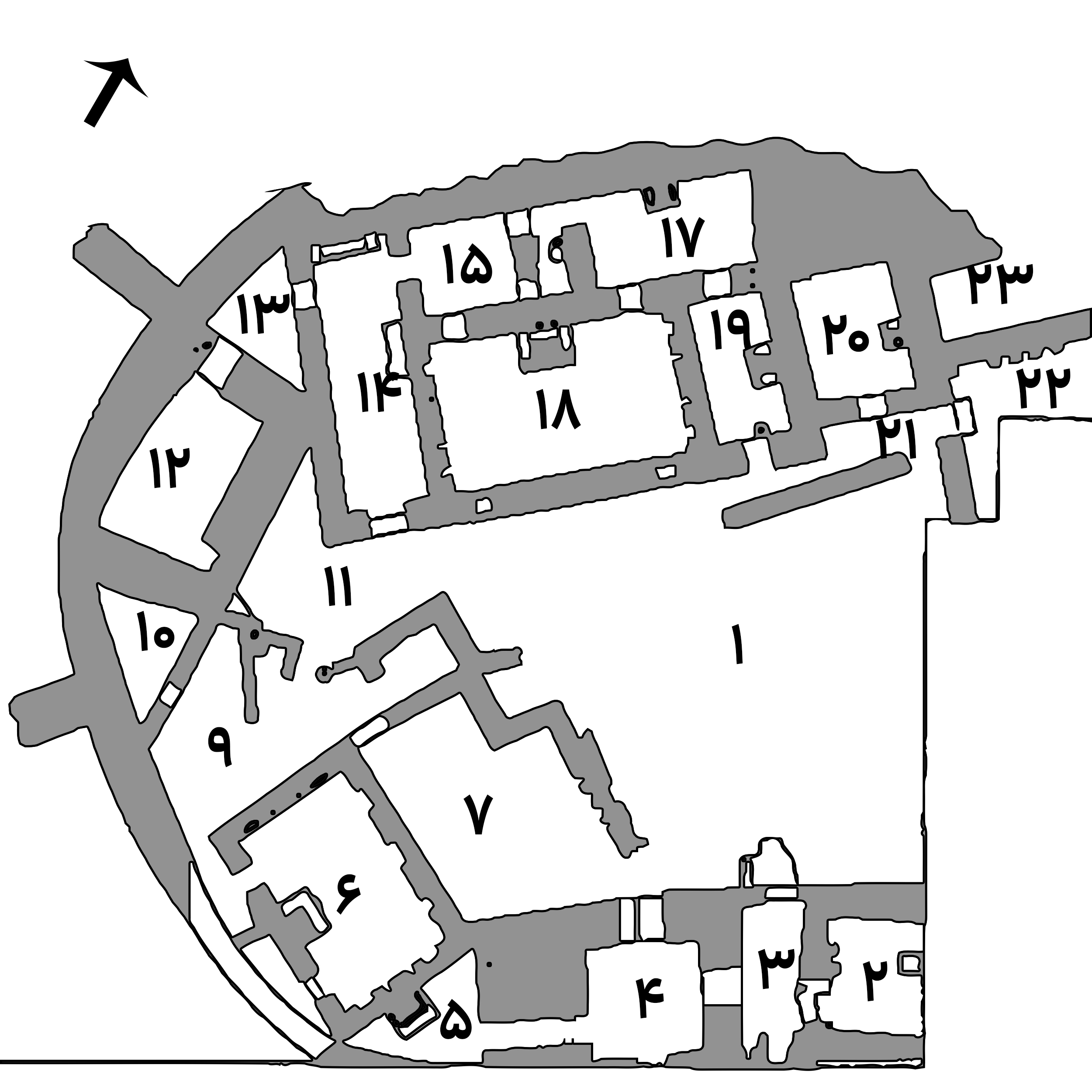
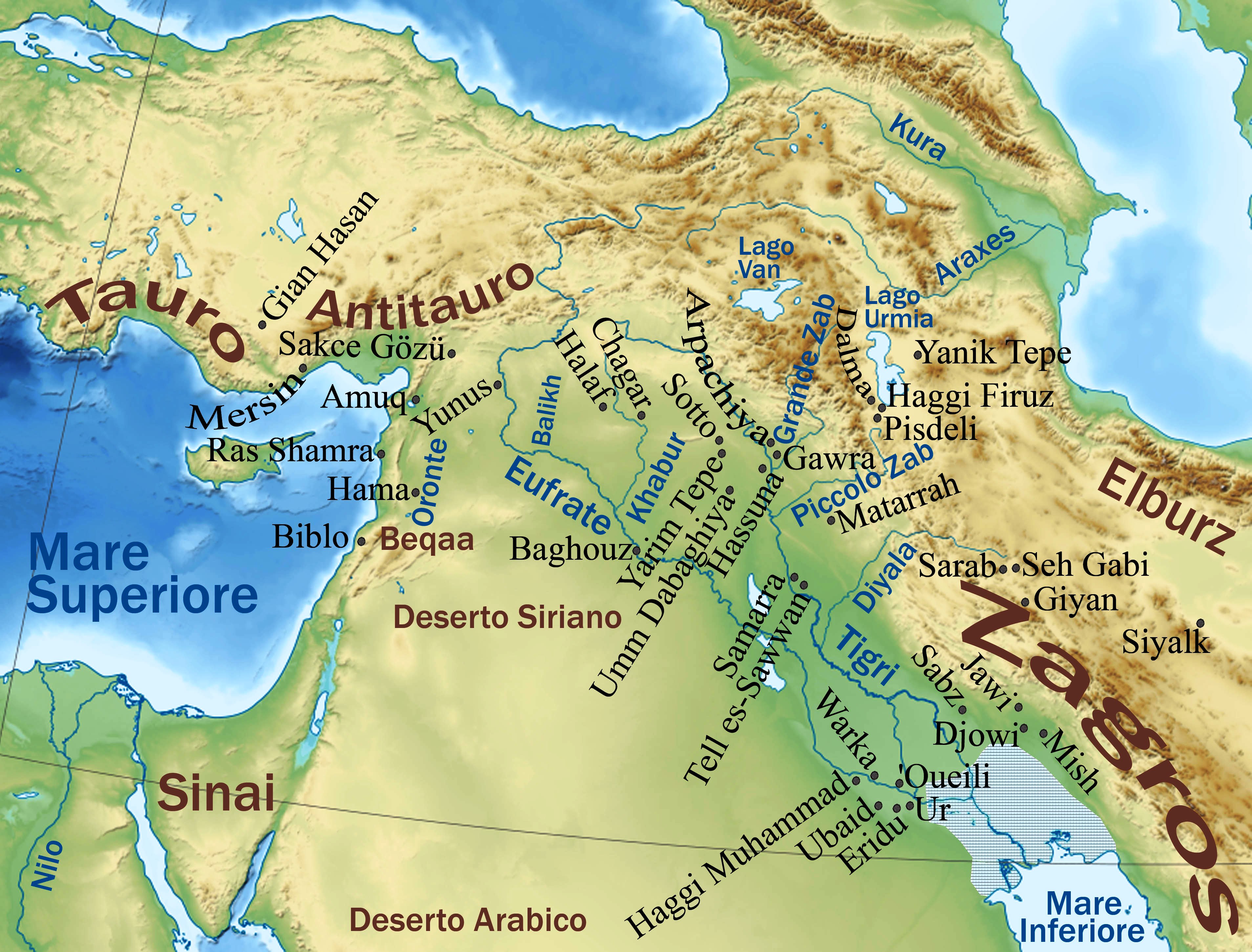
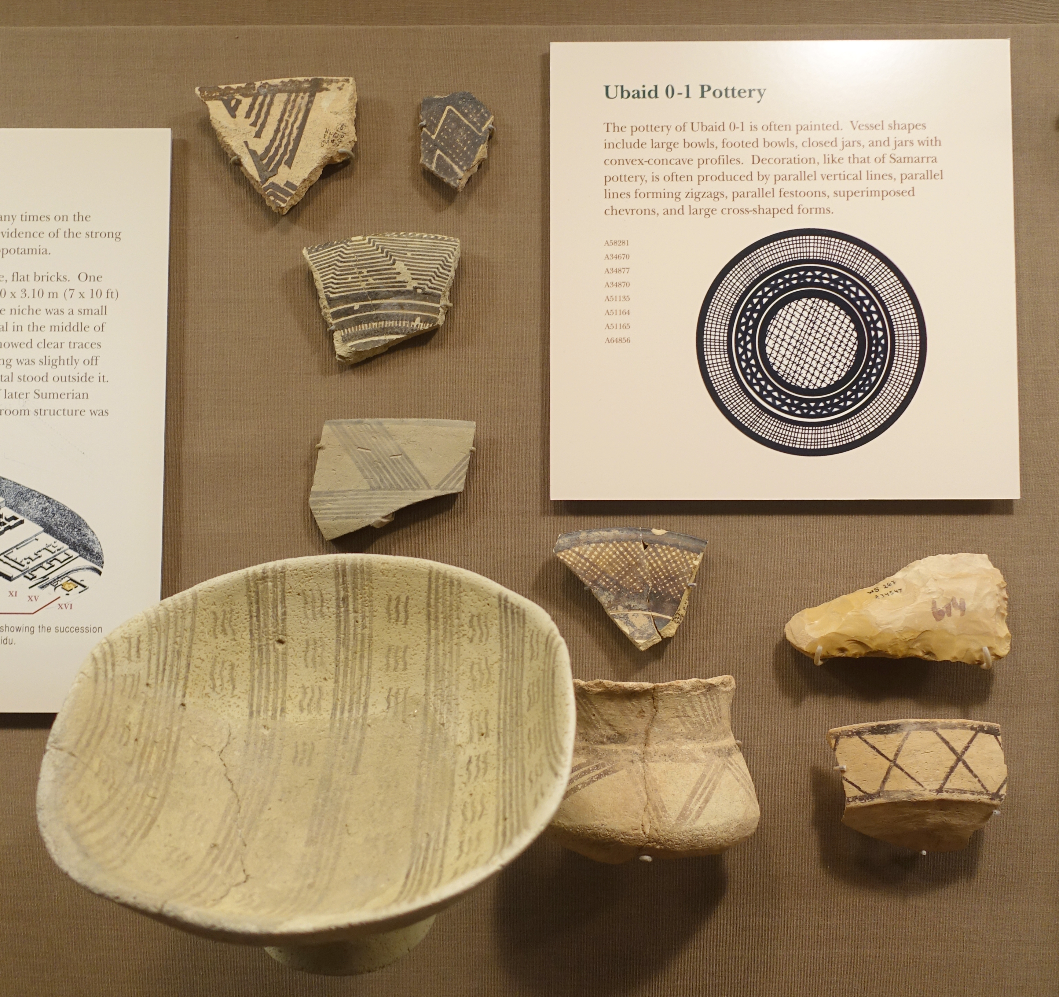
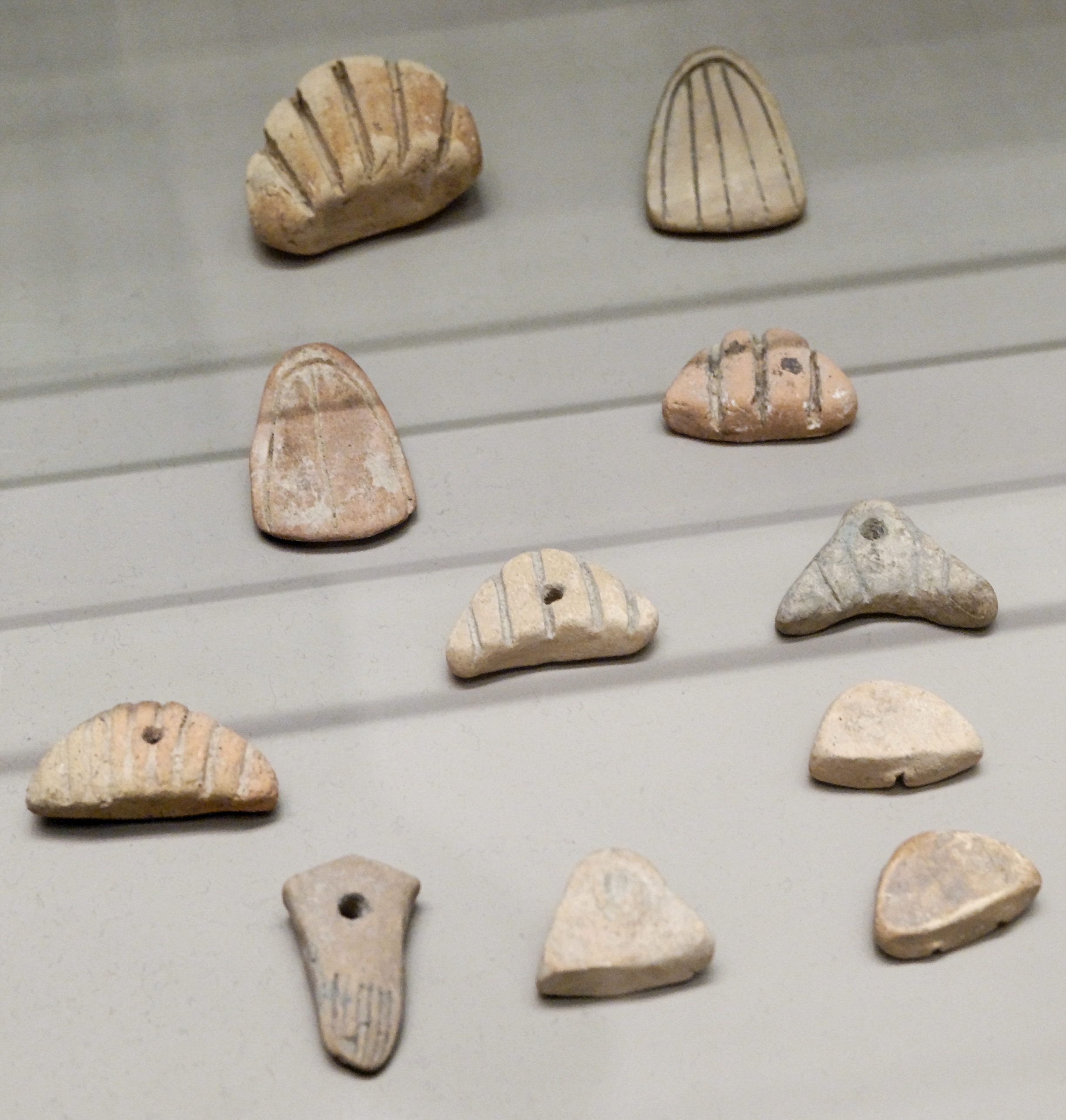
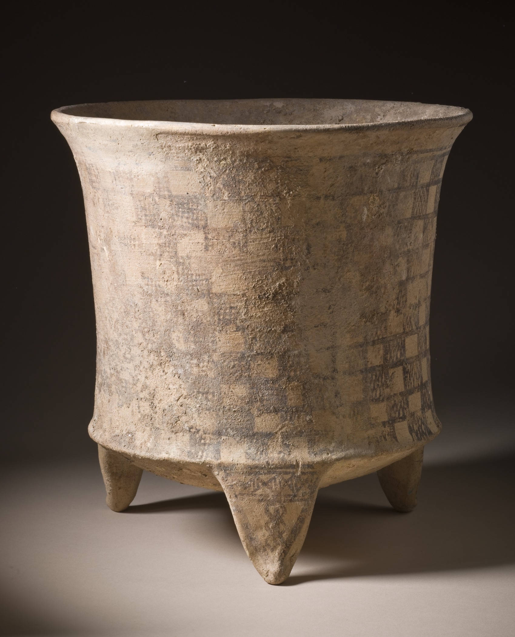
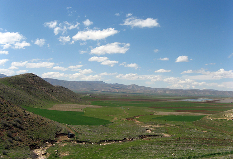
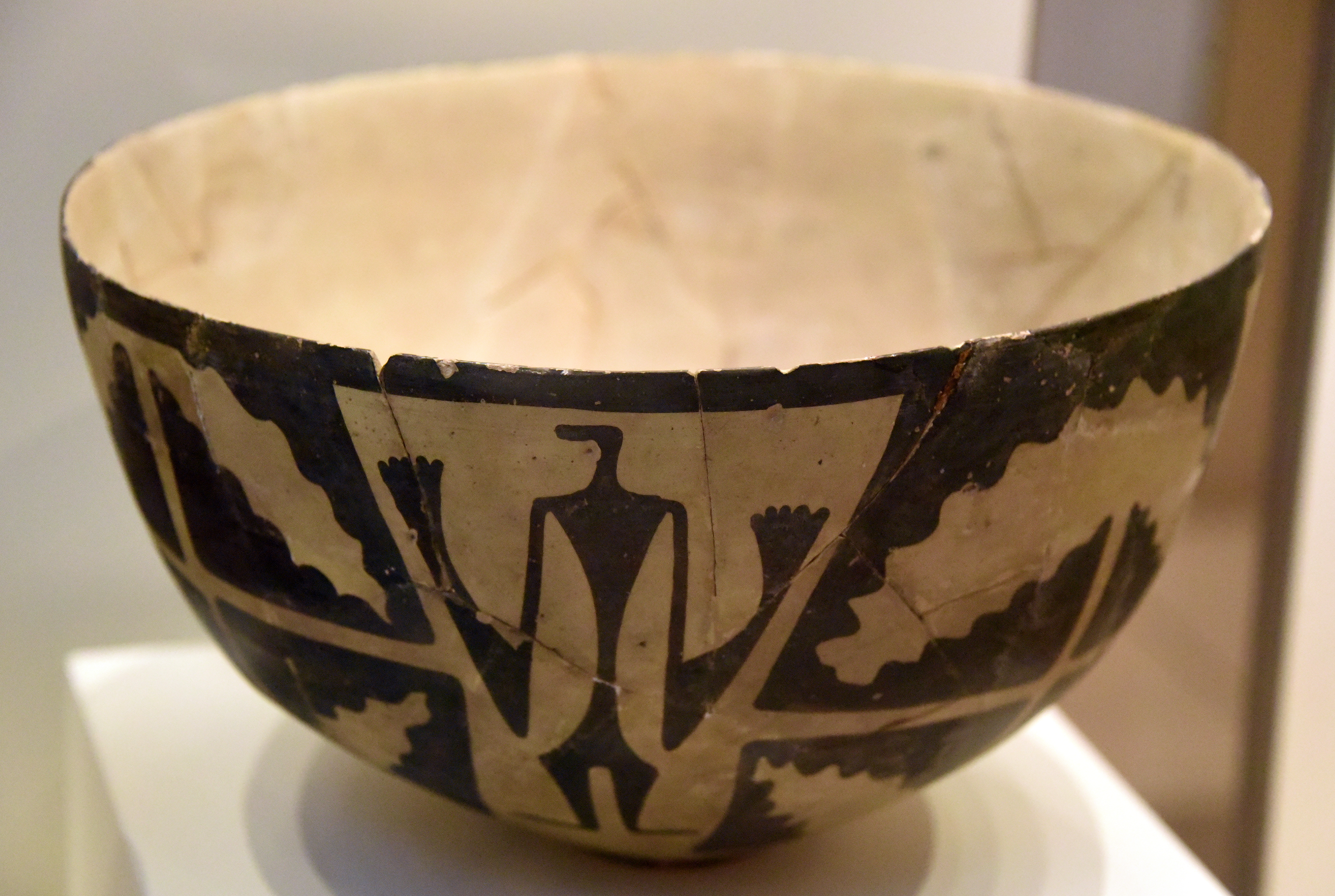
Godin Tepe is an archaeologically significant site located in the Kangavar valley of western Iran. It functioned as an essential trading outpost within early Mesopotamian trade networks. The site boasts a deep stratigraphy that reveals a chronological history from the Early Chalcolithic to the Iron Age, with evidence of habitation as early as 5200 BCE. Notable findings include trading networks from the Terminal Ubaid period, influences from the Uruk culture, and connections with the Elamite confederacy. Godin Tepe's archaeological richness is further highlighted by discoveries such as early wine and beer production, Kura-Araxes pottery, and a fortified structure from the Mede period. Its diverse cultural influences and strategic trading importance underscore its significance in ancient Near Eastern history.
Gallery
Explore photographs of ancient structures, artifacts, and archaeological excavations

Historical Timeline
Journey through time and discover key events in this site's history
Early Settlement
c. 5200 BCE
Level II Mede Fortification
c. 750 BCE
Level I Islamic Shrine
c. 15th century CE
Level III Elamite Connections
2600–1500/1400 BCE
Level IV Kura–Araxes Culture
3000–2650 BCE
Level V Occupation
3200–3000 BCE
Level VIII Trade Networks
4200–4000 BCE
Archaeological Features
Unique architectural and cultural elements found at this historical site
Storage Structures
Miscellaneous Features
Industrial and Craft Structures
Religious and Ritual Structures
Artistic and Decorative Features
Domestic and Habitation Structures
Food Production and Processing Features
Frequently Asked Questions
Plan Your Visit
Tours, travel arrangements, and practical information
More Sites in Iran
Tepe Sofalin
Ancient mound with Proto-Elamite artifacts
Tepe Giyan
Necropolis with distinctive pottery in Iran.
Wezmeh
Pleistocene cave site in western Iran
Tall-i Bakun
Prehistoric mounds with rich pottery culture
Tappeh Berdankan
Sasanian site with diverse pottery artifacts.
Rahmatabad Mound
Ancient Chalcolithic settlement with industrial features