Explore the Map
Tell Kunara
35.5194° N, 45.3594° E
About
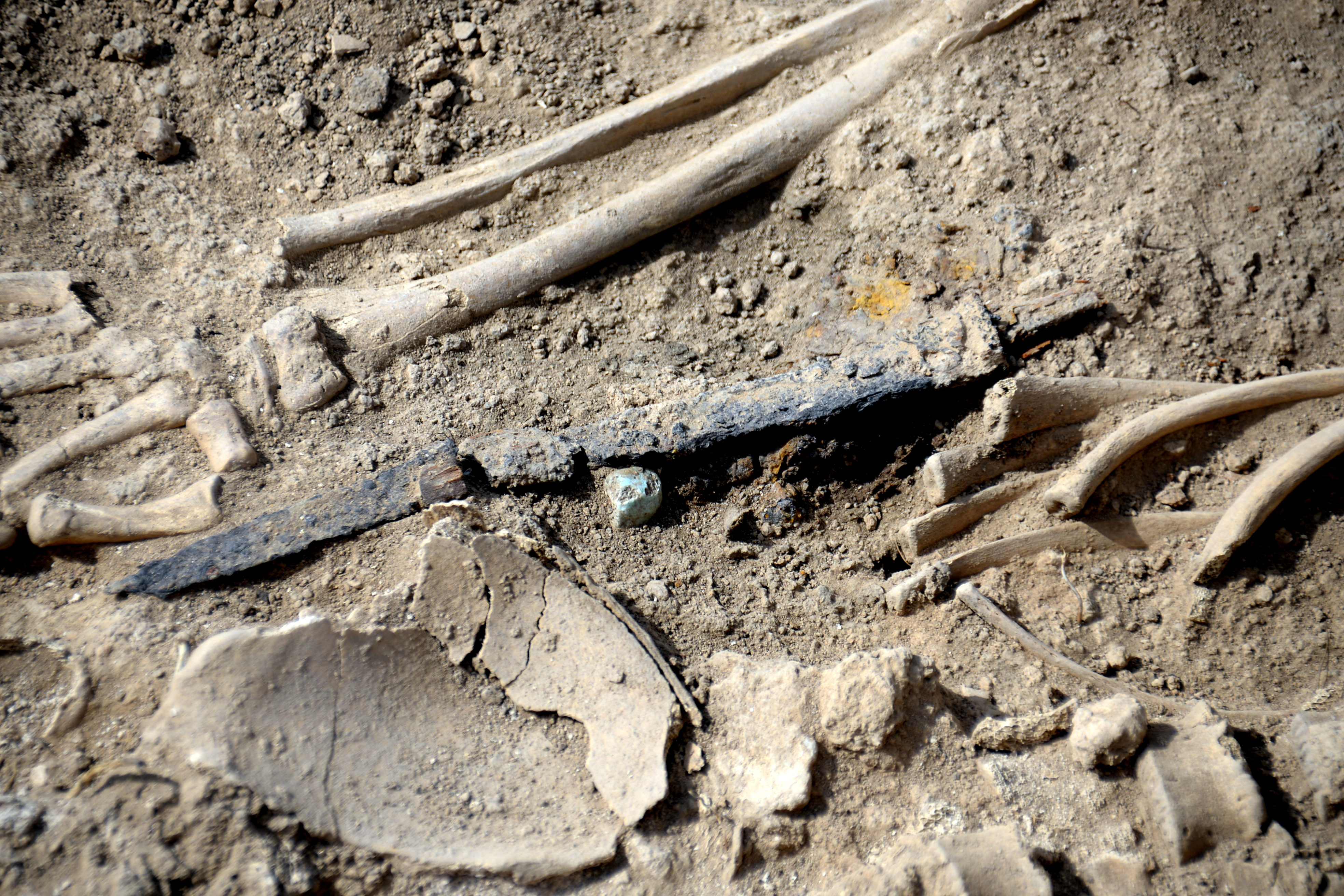
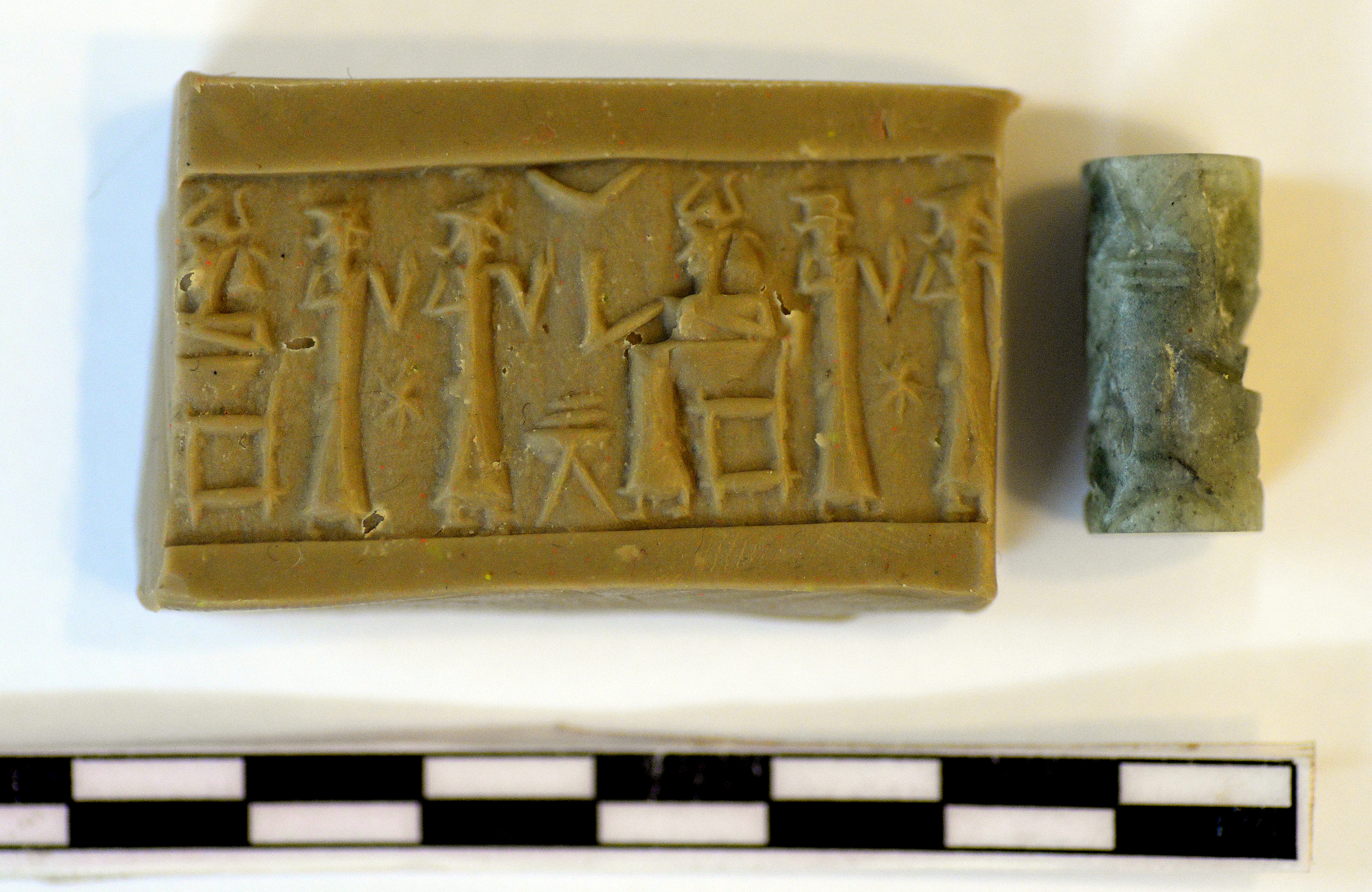
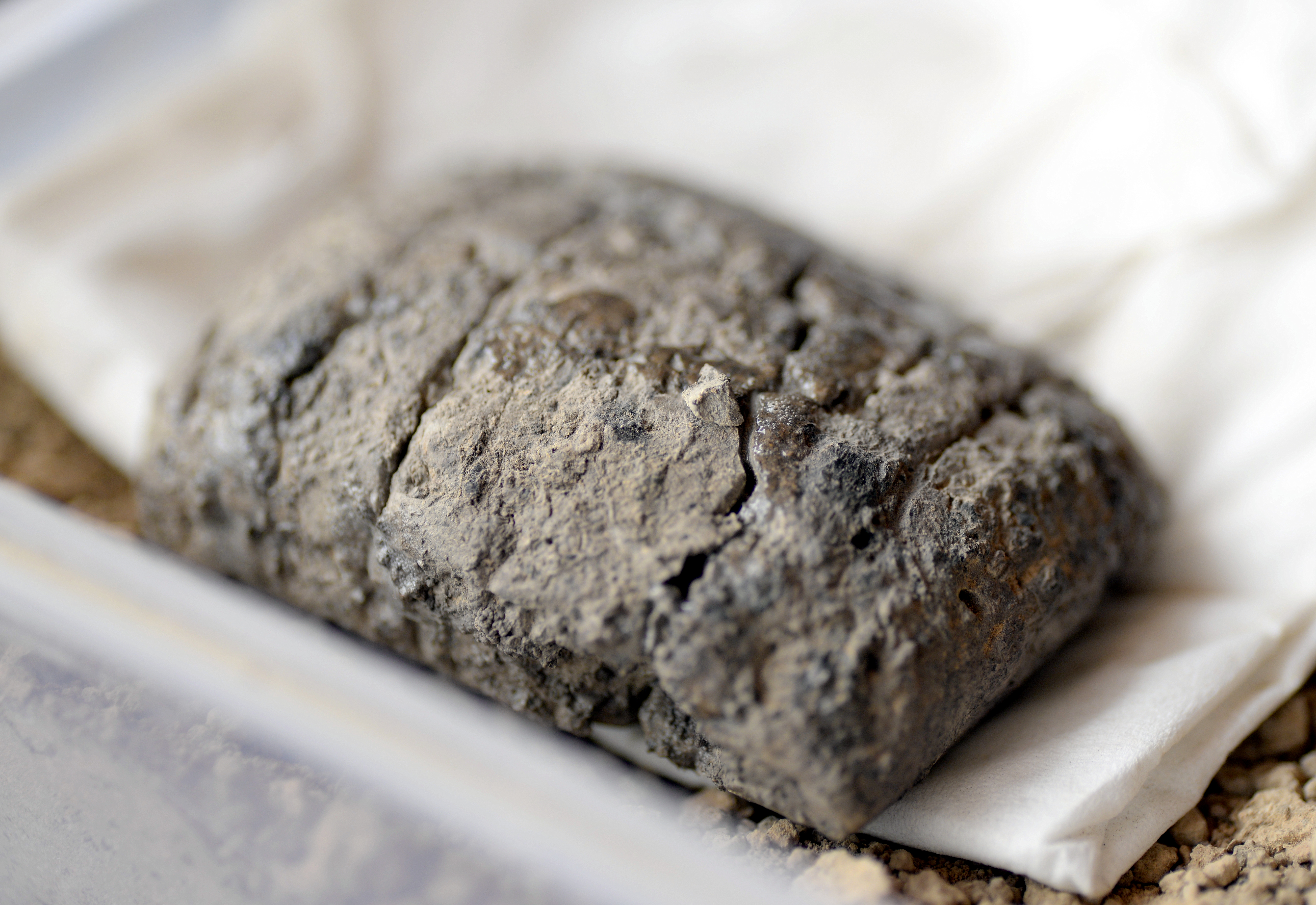
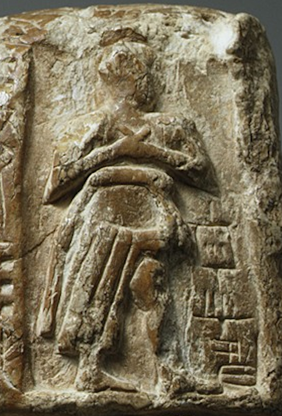
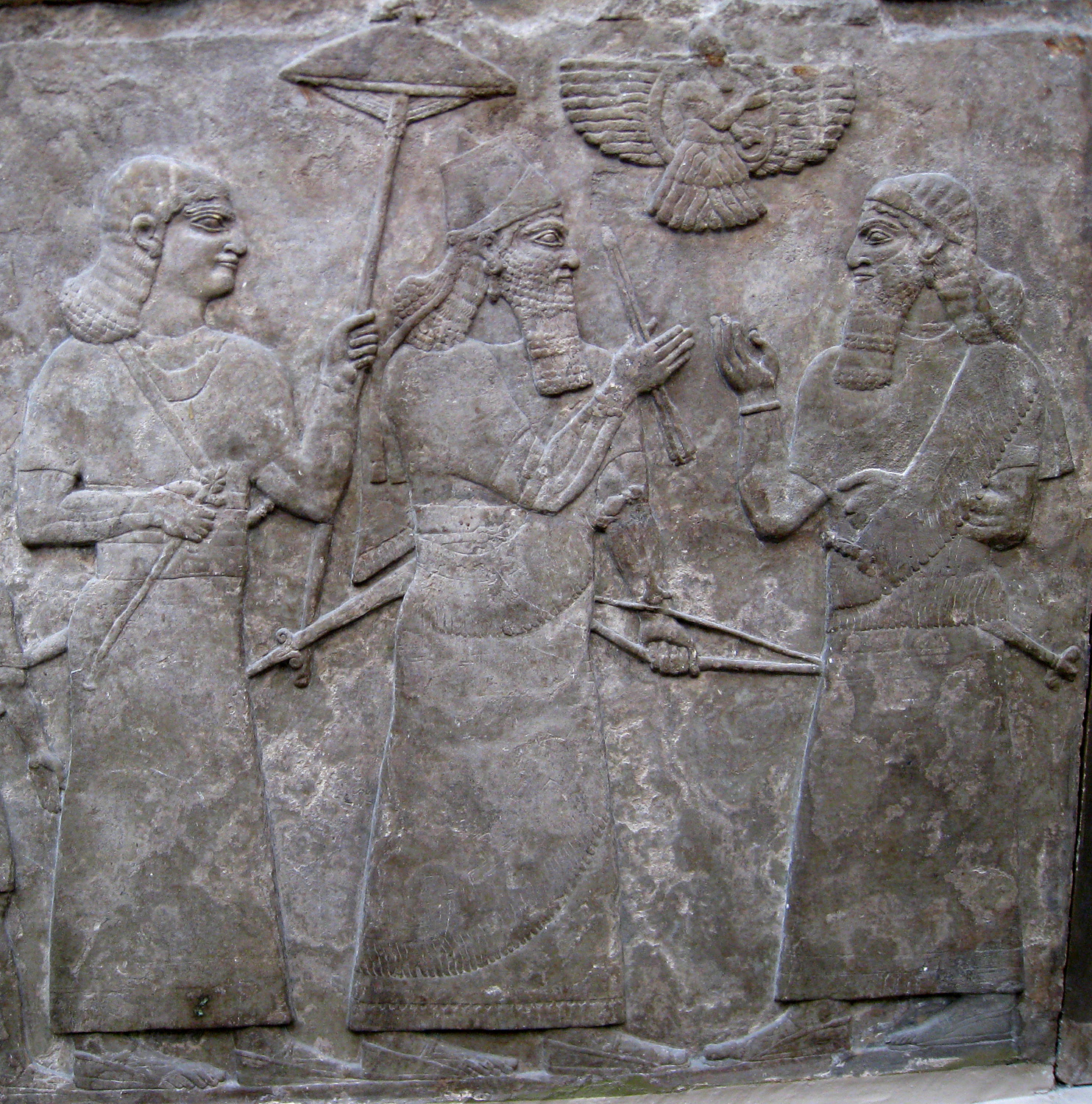
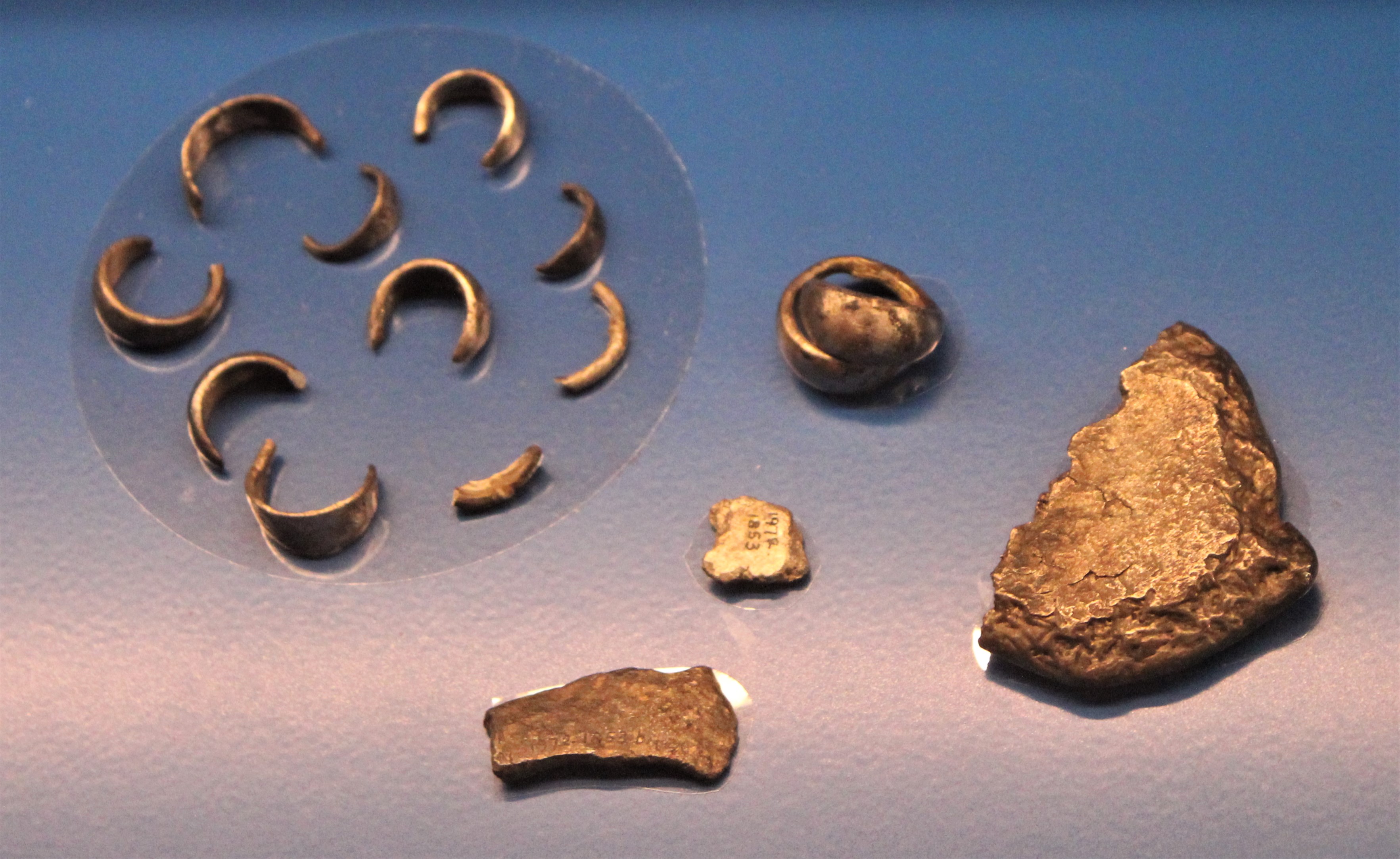
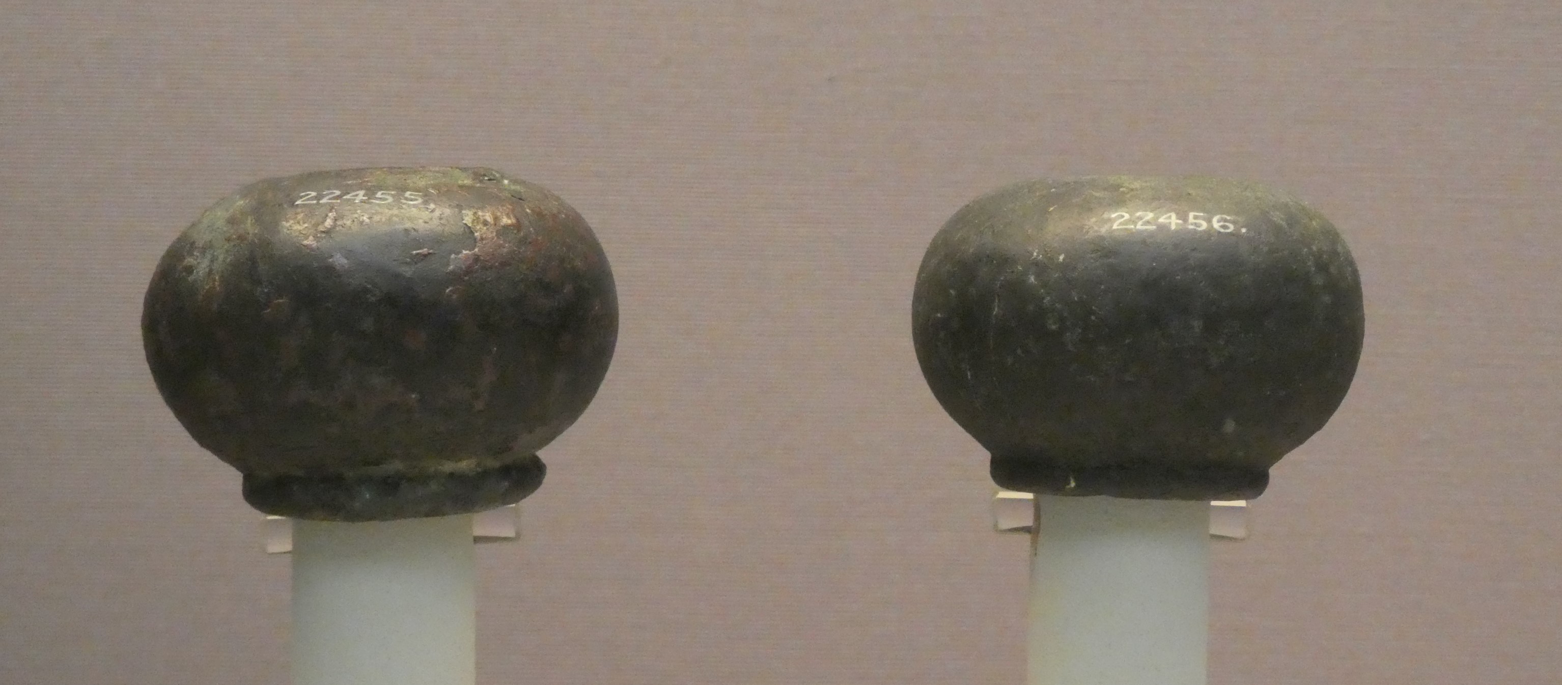
Tell Kunara is an archaeological site located in the Kurdistan region of Iraq, southwest of Sulaymaniyah. It spans from the Chalcolithic period to the early second millennium BCE. The site features two oval mounds designating the Upper and Lower Towns, which cover an area of approximately 10 hectares. Excavations have revealed monumental buildings likely serving as the capital of the Lullubi state during the Akkadian, Ur III, and Isin-Larsa periods. The presence of an ensi, or governor, is noted in epigraphic evidence, although further details remain unknown. Notably, a significant number of cuneiform tablets have been found, offering insights into the city's economic activities, including an unusual volume measure system. Tell Kunara is significant for its role in understanding the political and economic landscape of the ancient Near East.
Gallery
Explore photographs of ancient structures, artifacts, and archaeological excavations

Historical Timeline
Journey through time and discover key events in this site's history
Chalcolithic Occupation
3500 BCE
Akkadian Period Occupation
2300 BCE
Ur III Period Occupation
2100 BCE
Isin-Larsa Period Occupation
2000 BCE
Archaeological Features
Unique architectural and cultural elements found at this historical site
Storage Structures
Public and Civic Structures
Artistic and Decorative Features
Domestic and Habitation Structures
Frequently Asked Questions
Plan Your Visit
Tours, travel arrangements, and practical information
More Sites in Iraq
Larsa
Sumerian city-state and temple complex, Isin–Larsa period
Assur
Ancient Assyrian city on the Tigris River
Tell Taya
Ancient hill city with fortifications and artifacts.
Tell Muhammad
Ancient site with fortifications and tablets
Tarbisu
Ancient Assyrian city with palaces and temples
Tell Yelkhi
Oval mound with Kassite and earlier remains.