Explore the Map
Horbat Ashun
31.9042° N, 34.9842° E
About
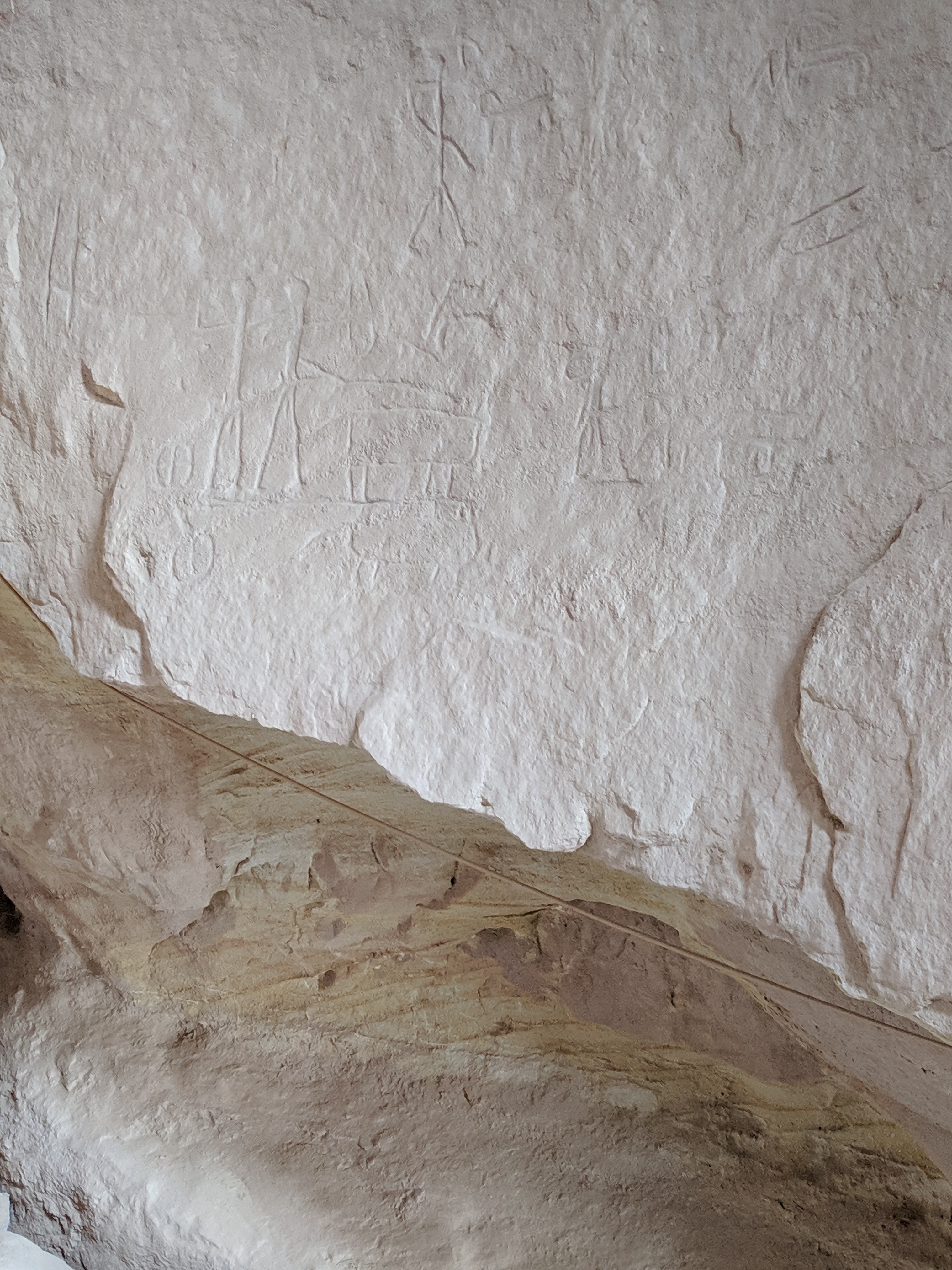
Horbat Ashun, located near the city of Modi'in, reveals a rich archaeological history spanning from the Neolithic to the Ottoman period. The site includes remnants of a Jewish settlement from the Second Temple period and shows evidence of continuous occupation and transformation over centuries. Notable features include a farm house from the Hellenistic period, fortified structures from the Hasmonean era, and a Roman-era agricultural farm. The site also contains Jewish ritual baths, rock-cut tombs, and evidence of industrial activities such as winepresses. Coins from the Hasmonean dynasty further underscore the area's historical importance. Over time, the site evolved into an agricultural hub during the Umayyad and Ottoman periods, highlighting its enduring significance in the region.
Historical Timeline
Journey through time and discover key events in this site's history
Persian period remains
550 BCE - 330 BCE
Hellenistic farmhouse
323 BCE - 31 BCE
Hasmonean fortification
167 BCE - 37 BCE
Neolithic tools
8,000 BCE - 3,000 BCE
Roman agricultural farm
70 CE
Umayyad agricultural area
661 CE - 750 CE
Ottoman agricultural site
1517 CE - 1917 CE
Archaeological Features
Unique architectural and cultural elements found at this historical site
Storage Structures
Defensive Structures
Military Installations
Miscellaneous Features
Animal Husbandry Features
Water Management Features
Public and Civic Structures
Burial and Funerary Structures
Industrial and Craft Structures
Religious and Ritual Structures
Artistic and Decorative Features
Agricultural and Land Use Features
Domestic and Habitation Structures
Environmental and Natural Features
Astronomical and Timekeeping Structures
Food Production and Processing Features
Transportation and Communication Structures
Frequently Asked Questions
Plan Your Visit
Tours, travel arrangements, and practical information

More Sites in Israel
Tel Kabri
Bronze Age Canaanite palace and settlement

Ein Avdat
Desert canyon with springs and ancient habitations.
Tell Qasile
Philistine port city with temples and houses
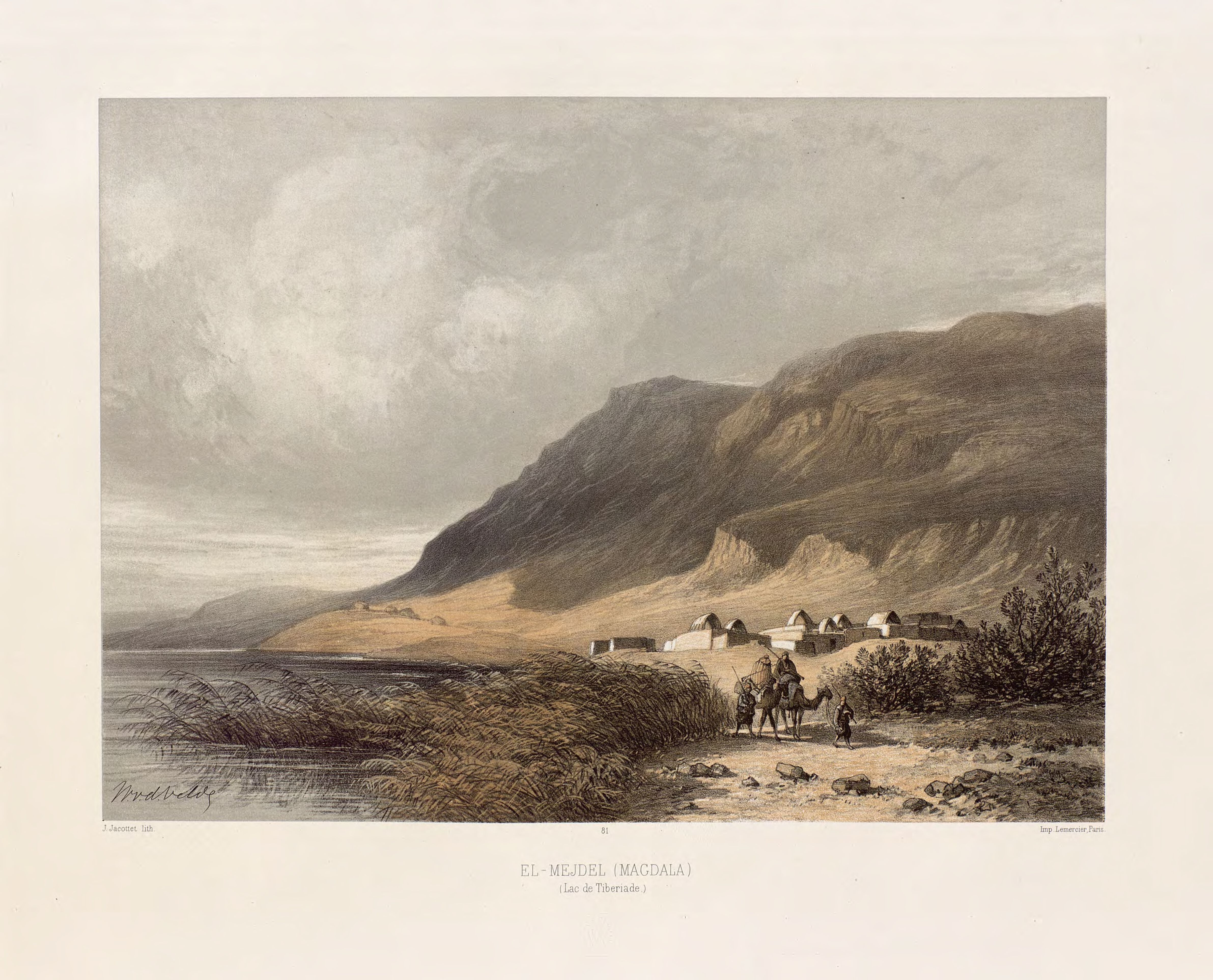
Magdala
Ancient Jewish city with Roman synagogues
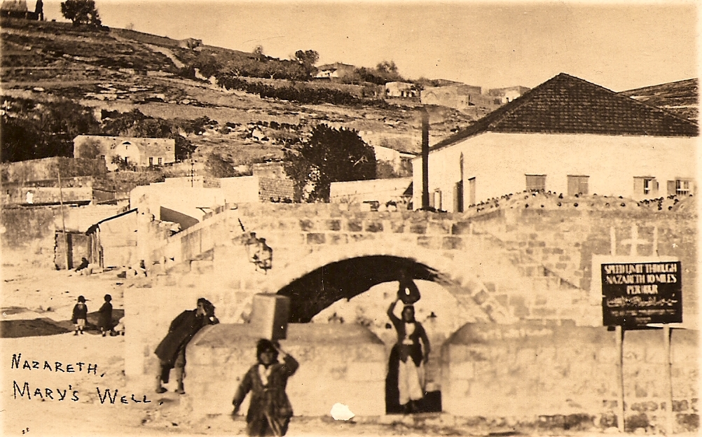
Mary's Well
Ancient water supply with religious significance
Timna Valley
Copper mining and unique sandstone formations