Explore the Map
Kamo Site (Ishikawa)
36.6875° N, 136.7131° E
About
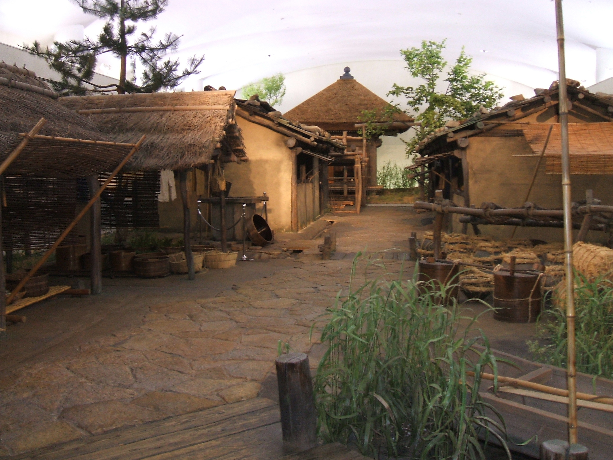
The Kamo Site in Tsubata, Ishikawa, Japan, is a significant archaeological site that reveals a rich history spanning multiple periods from the Jōmon through the Muromachi periods. Located strategically between the Kahokugata Lagoon and the Hodatsu Mountains, it served as an important administrative center during the Nara and Heian periods. The site features a mix of religious and ritual structures, transportation and communication routes, such as roads and canals, and public and civic structures, including administrative buildings. Notably, the discovery of a wooden signboard from the Kashō era (848-851 CE) provides tangible evidence of the site's role in local governance and traffic management. The variety of artifacts and structural remains found at Kamo Site highlights its multifaceted role in Japan's historical landscape.
Historical Timeline
Journey through time and discover key events in this site's history
Jōmon period occupation
Jōmon period
Nara period administrative center
710 CE - 794 CE
Heian period traffic management
794 CE - 1185 CE
Muromachi period usage
1336 CE - 1573 CE
Archaeological Features
Unique architectural and cultural elements found at this historical site
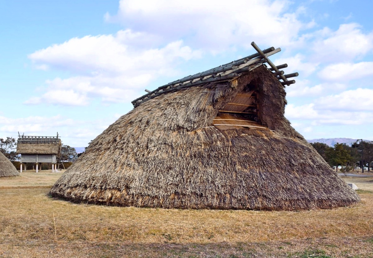
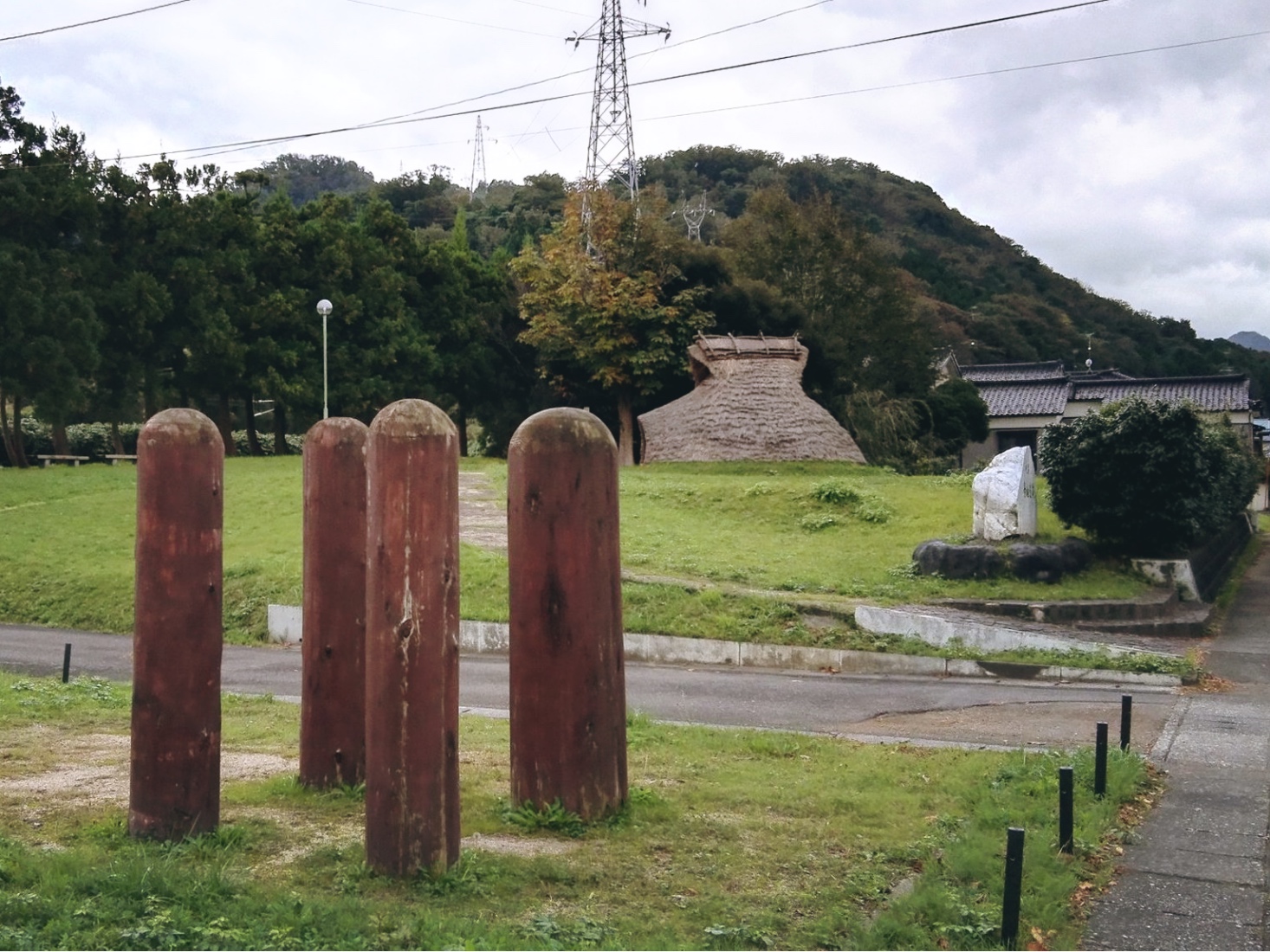
Storage Structures
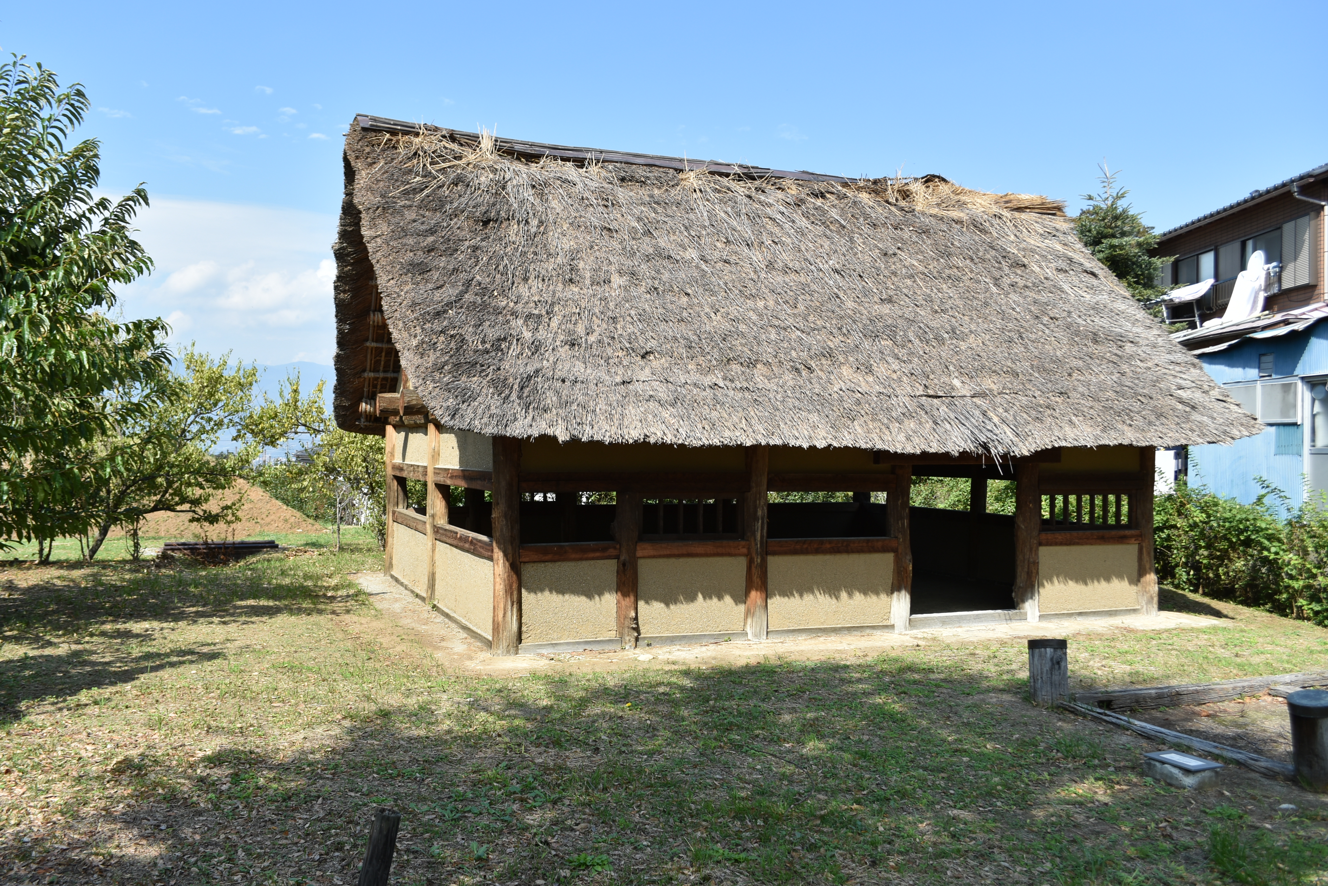
Public and Civic Structures
Religious and Ritual Structures
Transportation and Communication Structures
Frequently Asked Questions
Plan Your Visit
Tours, travel arrangements, and practical information
More Sites in Japan
Mangyō Site
Late Yayoi–Early Kofun settlement, Nanao (Ishikawa), Japan
Binmanji Ishibotokedani Necropolis
Medieval Japanese necropolis with 1600 tombs.
Kusado Sengen
Medieval port town near Ashida River
Yoshizaki-Suba Site
Yayoi period settlement remains, Ishikawa, Japan.
Terachi Site
Middle to late Jōmon period settlement
Katsunuma clan residence ruins
Sengoku period fortified residence ruins.