Explore the Map
Sato Kanga ruins
33.4158° N, 131.6267° E
About
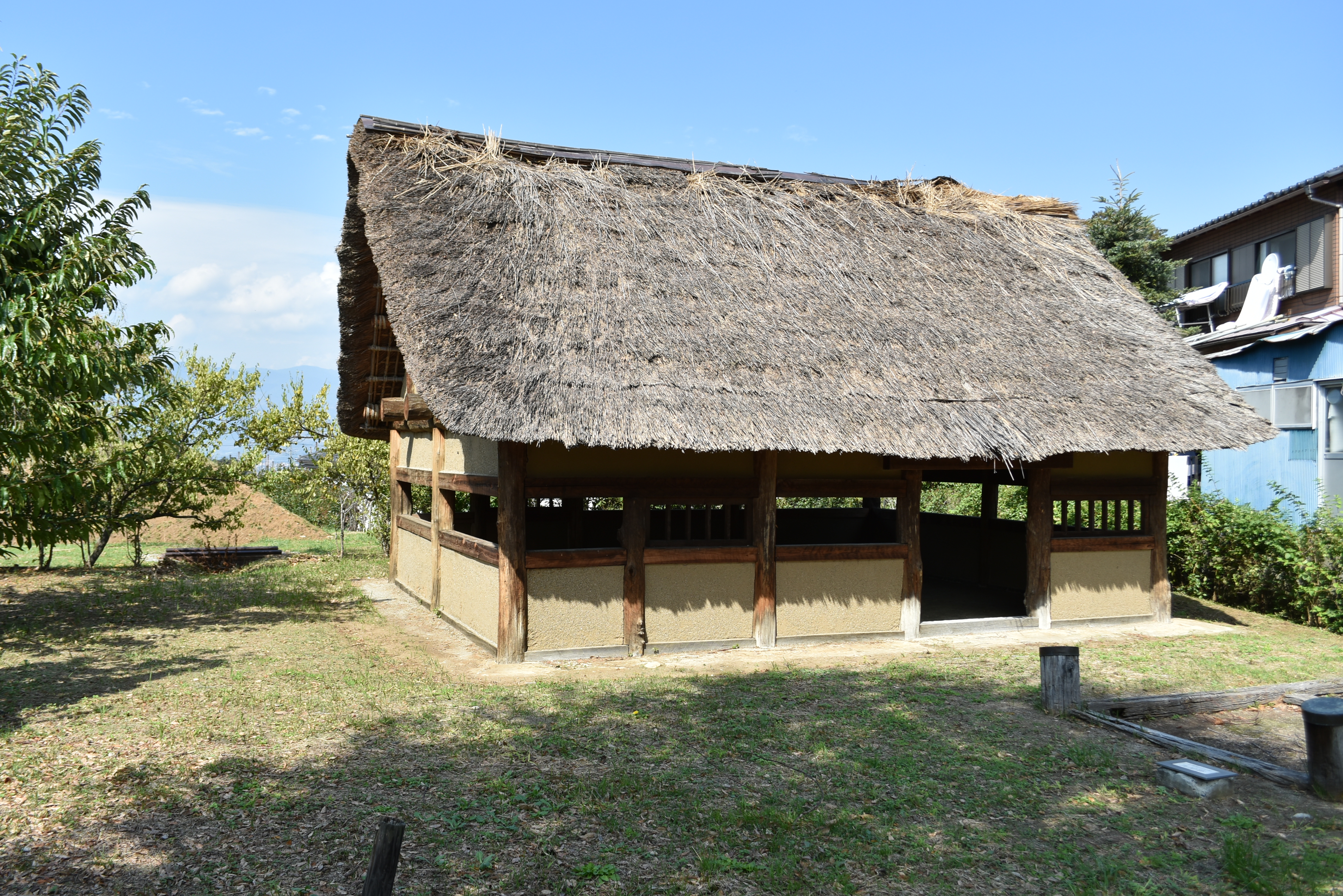
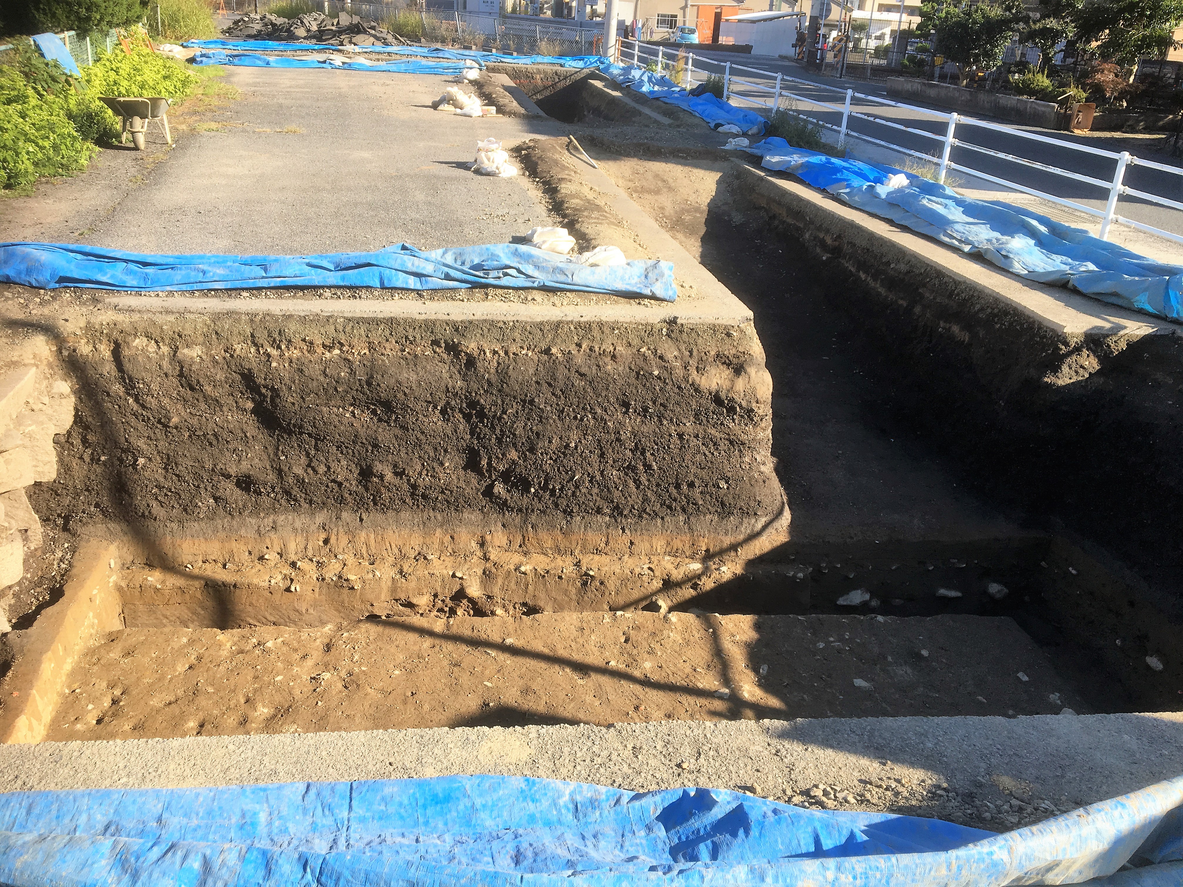
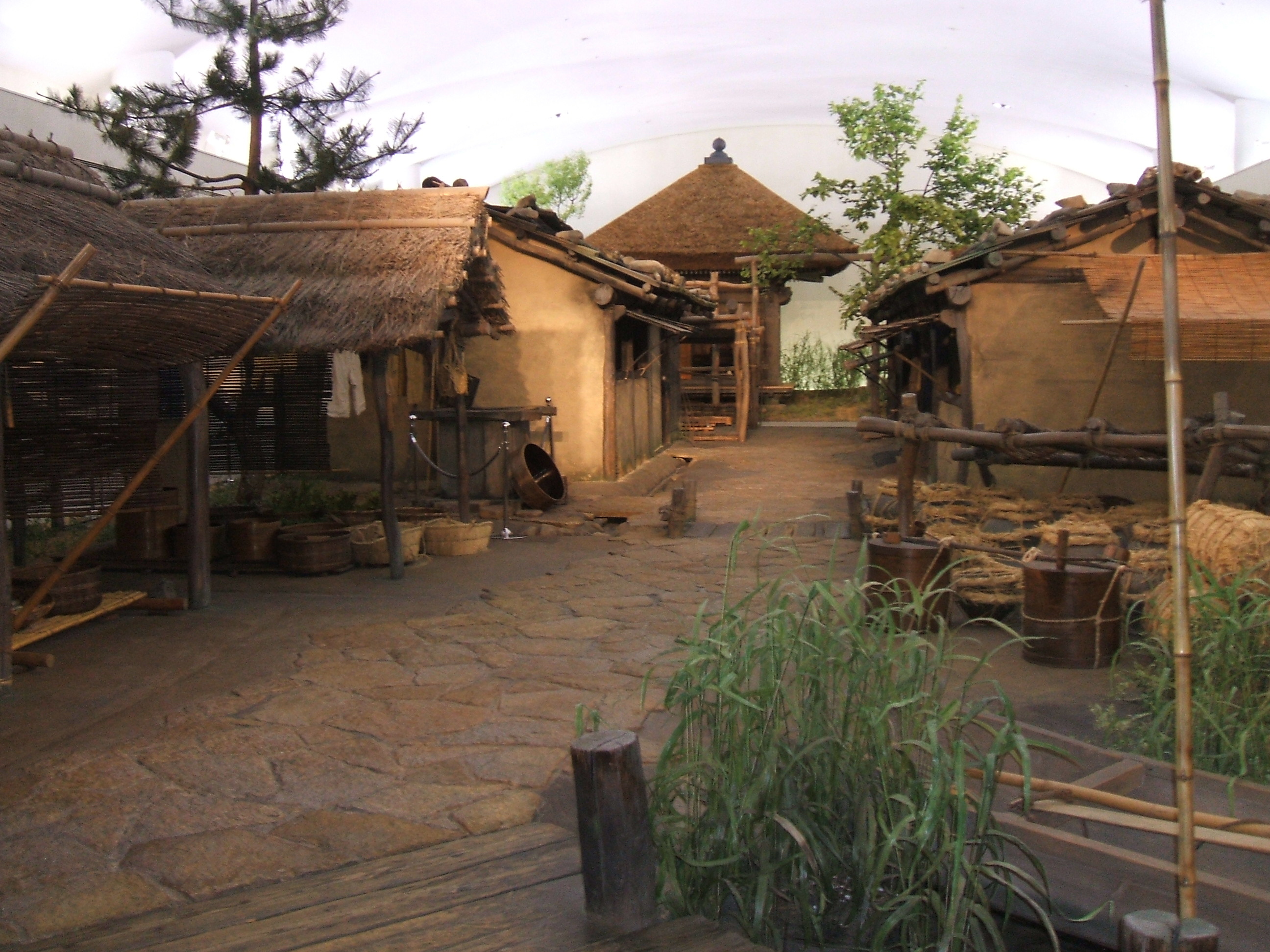
The Sato Kanga Ruins, located on the Johara Plateau in Ōita City, Kyushu, Japan, represent a significant archaeological site. These ruins date back to the Nara to Heian periods, showcasing the remnants of a government administrative complex under the Ritsuryō system. Excavations have unearthed pit dwellings and large pillared buildings arranged in a U-shaped configuration, characteristic of the standardized layout of kanga government offices inspired by Chinese design. Serving as the administrative center of ancient Amabe District, these structures were constructed in the mid-7th century and were subsequently abolished in the early 8th century, with administrative functions moving westward. The site's designation as a National Historic Site in 2022 underscores its historical and cultural significance.
Historical Timeline
Journey through time and discover key events in this site's history
Mid 7th Century Construction
650 CE
Late 7th Century U-Shaped Layout
690 CE
Early 8th Century Abolition
720 CE
Archaeological Features
Unique architectural and cultural elements found at this historical site
Public and Civic Structures
Domestic and Habitation Structures
Frequently Asked Questions
Plan Your Visit
Tours, travel arrangements, and practical information
More Sites in Japan
Katsunuma clan residence ruins
Sengoku period fortified residence ruins.
Binmanji Ishibotokedani Necropolis
Medieval Japanese necropolis with 1600 tombs.

Komaru Castle
Sengoku period castle with moats and ramparts.
Furushida-Higashi ruins
Heian period fortified residence with moat.
Bingo Provincial Capital
Ruins of ancient provincial capital structures
Kusado Sengen
Medieval port town near Ashida River