Explore the Map
Gerisa
30.9467° N, 14.5511° E
About
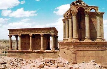
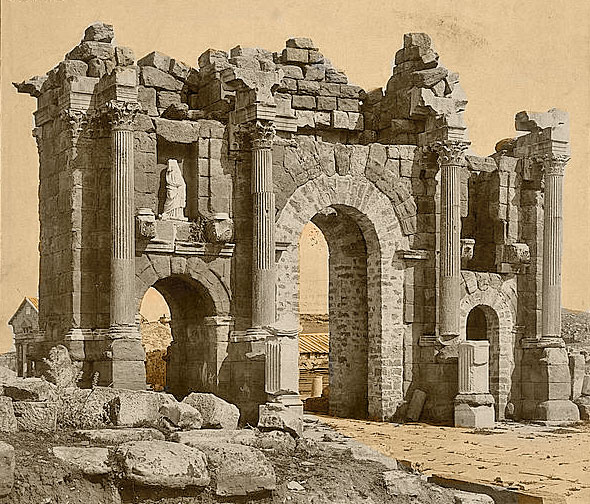
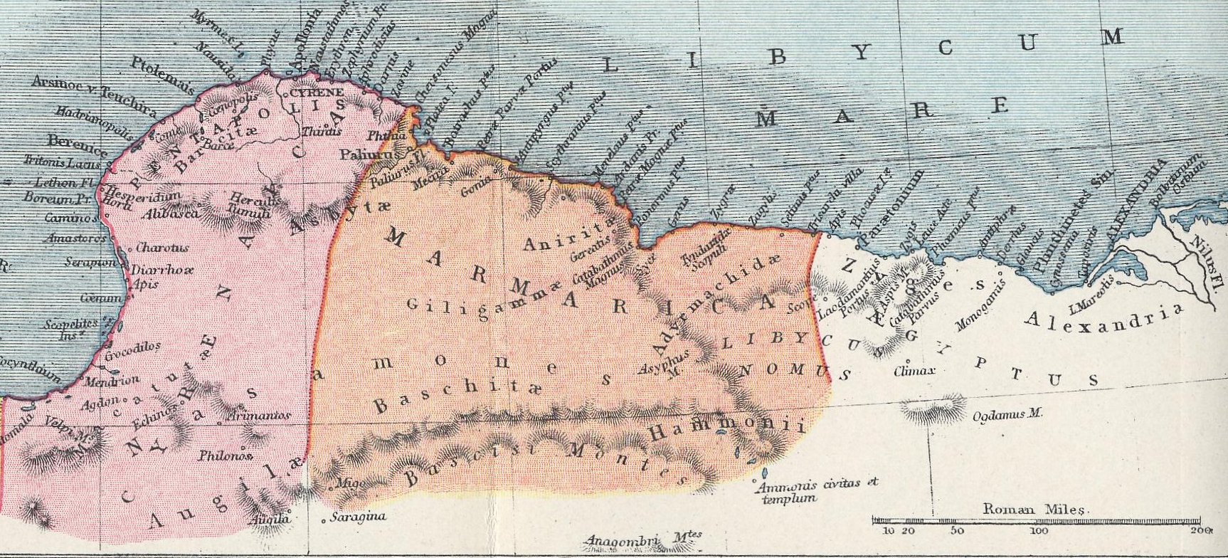
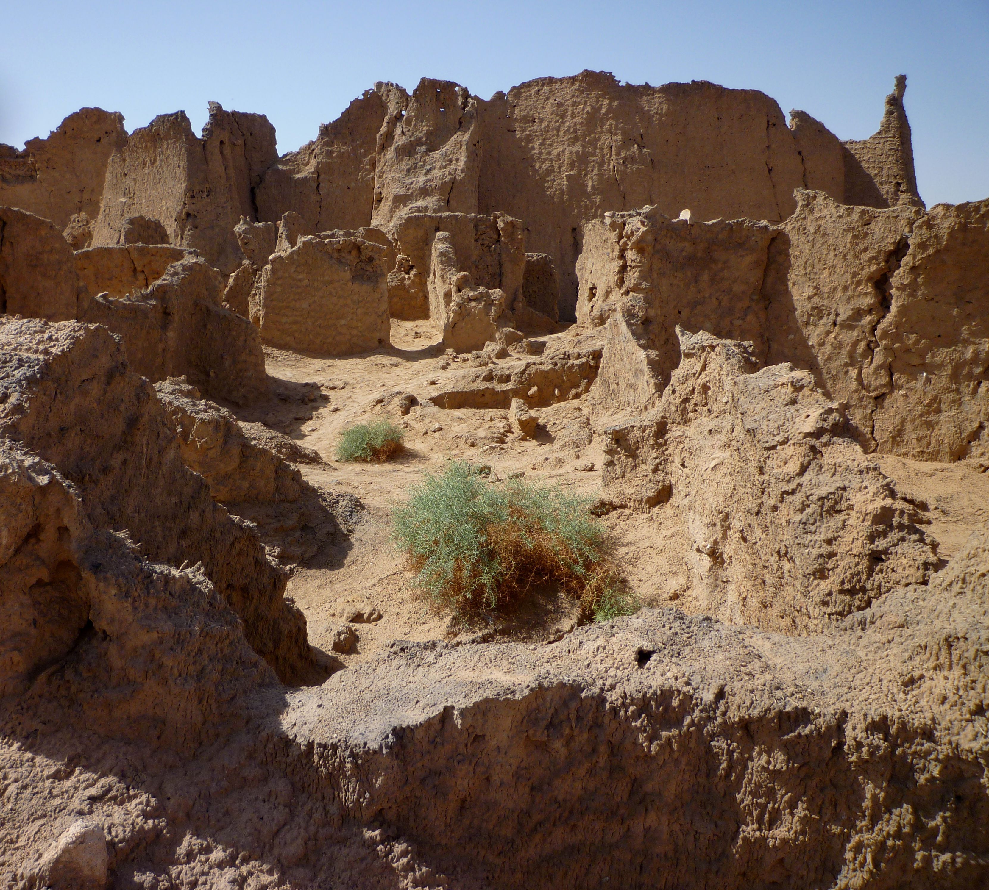
Gerisa, also known as Ghirza, was an ancient Roman city situated in the pre-desert zone of Tripolitania, near the Limes Tripolitanus. Originating as a small Berber settlement, it developed into a significant Roman site following the arrival of Roman legionnaires. Under the leadership of legatus Quintus Anicius Faustus, the area saw the construction of defensive forts to protect against nomadic raids, fostering Gerisa's growth into a prosperous agricultural hub. The city featured numerous domestic structures, fortified farms, and a temple possibly linked to the Berber semi-god Gurzil. Water management systems, including dams and cisterns, supported its agriculture, with farmers cultivating a variety of crops. Gerisa thrived until the late 7th century CE, when it declined following the Arab invasions, eventually becoming forgotten under the sands until its rediscovery.
Gallery
Explore photographs of ancient structures, artifacts, and archaeological excavations

Historical Timeline
Journey through time and discover key events in this site's history
Roman settlement established
197 CE
Agricultural development and expansion
200 CE
Partial abandonment of Limes
284 CE - 305 CE
Byzantine restructuring of Limes
533 CE
Decline after Arab invasions
late 7th century CE
Archaeological Features
Unique architectural and cultural elements found at this historical site
Defensive Structures
Water Management Features
Public and Civic Structures
Religious and Ritual Structures
Agricultural and Land Use Features
Domestic and Habitation Structures
Frequently Asked Questions
Plan Your Visit
Tours, travel arrangements, and practical information
More Sites in Libya
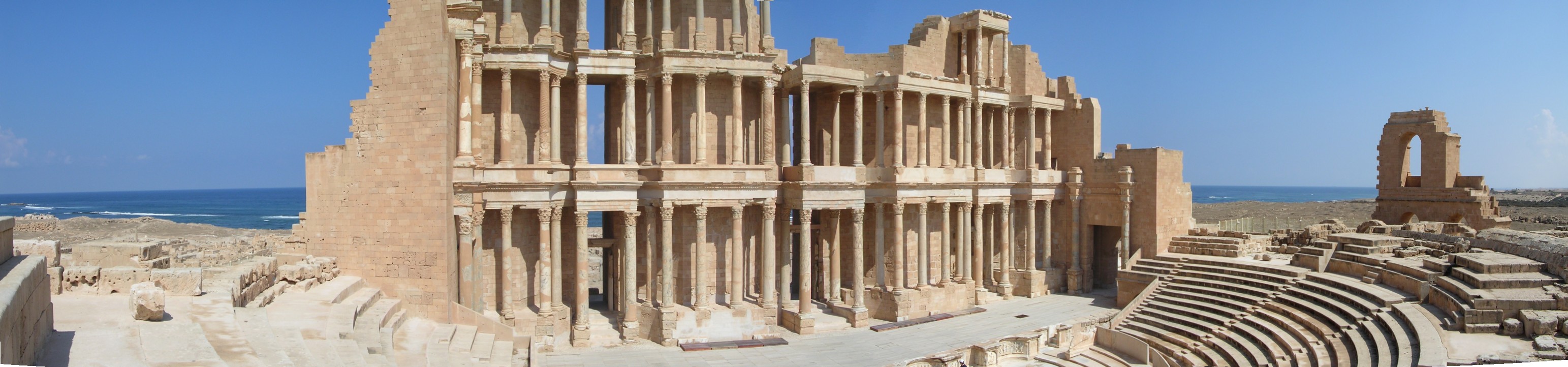
Sabratha
Ancient city with Roman and Byzantine ruins.
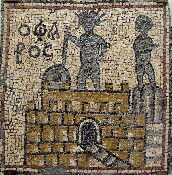
Olbia, Libya
Byzantine town with mosaic churches
Ptolemais, Cyrenaica
Ancient city with well-preserved ruins.
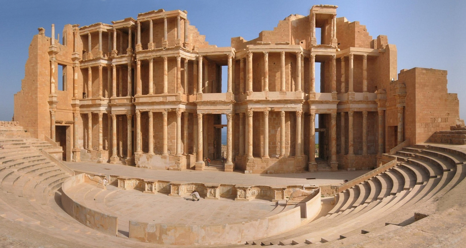
Leptis Magna
Roman port city in Tripolitania, Libya
Archaeological Site of Sabratha
Excavated Roman and Numidian city in Libya
Germa
Ancient Garamantian capital in Sahara Desert