Explore the Map
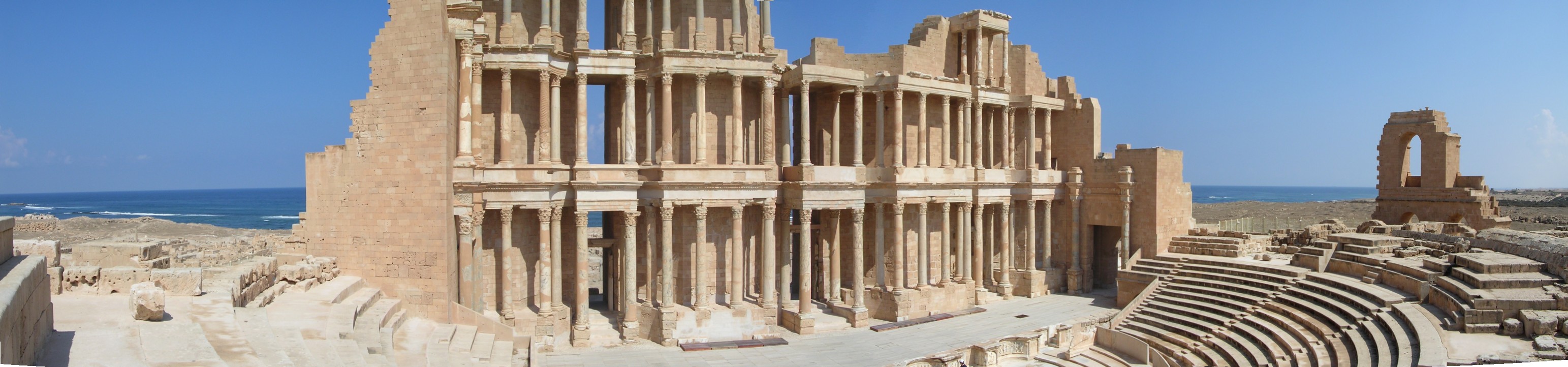
Leptis Magna
32.6392° N, 14.2906° E
About
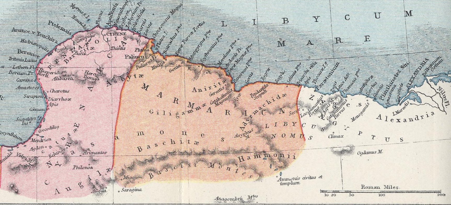
Leptis or Lepcis Magna, also known by other names in antiquity, was a prominent city of the Carthaginian Empire and Roman Libya at the mouth of the Wadi Lebda in the Mediterranean. Established as a Punic settlement prior to 500 BC, the city experienced significant expansion under Roman Emperor Septimius Severus (r. 193–211), who was born in the city. The 3rd Augustan Legion was stationed here to defend the city against Berber incursions. After the legion's dissolution under Gordian III in 238, the city was increasingly open to raids in the later part of the 3rd century. Diocletian reinstated the city as provincial capital, and it grew again in prosperity until it fell to the Vandals in 439. It was reincorporated into the Eastern Empire in 533 but continued to be plagued by Berber raids and never recovered its former importance. It fell to the Muslim invasion in c. 647 and was subsequently abandoned. After being abandoned, the city was remarkably preserved as it lay buried beneath layers of sand dunes. In the 1920s, the city was unearthed by Italian archaeologists during Italy's occupation of Libya. Its ruins are within present-day Khoms, Libya, 130 km (81 mi) east of Tripoli. They are among the best-preserved Roman sites in the Mediterranean.
Historical Timeline
Journey through time and discover key events in this site's history
Punic founding
7th century BCE
Failed Greek colonisation (Dorieus)
c. 515 BCE
Olive oil tax to Julius Caesar
46 BCE
Amphitheatre constructed under Nero
1st century CE
Elevation to municipium
AD 64–65
Colonia under Trajan
AD 98–117
Severan patronage and imperial visit
AD 193–211
3rd Augustan Legion stationed and dissolution
AD 238
Tsunami devastation
AD 365
Vandal conquest
AD 439
Berber sack of the city
AD 523
Byzantine reconquest and reintegration
AD 533–534
Christian missionary activity
AD 565–578
Muslim conquest and abandonment
c. AD 647
Absorption by Al-Khums
10th century
Temple fragment removed to Britain
1816
Italian excavations
1920s–1930s
Archaeological Features
Unique architectural and cultural elements found at this historical site
Defensive Structures
Military Installations
Public and Civic Structures
Industrial and Craft Structures
Religious and Ritual Structures
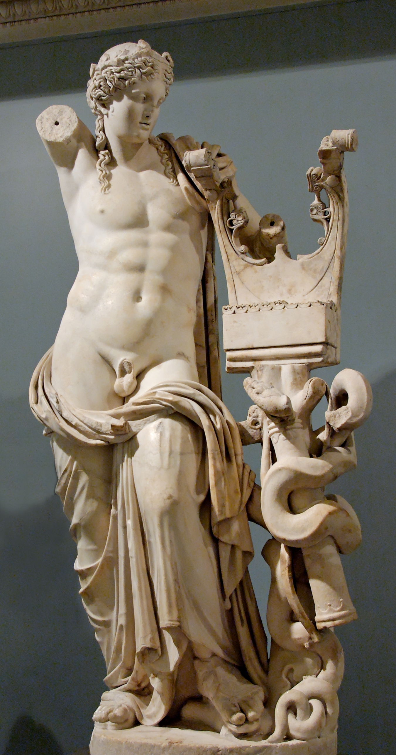
Artistic and Decorative Features
Domestic and Habitation Structures
Food Production and Processing Features
Transportation and Communication Structures
Frequently Asked Questions
Plan Your Visit
Tours, travel arrangements, and practical information
More Sites in Libya
Ptolemais, Cyrenaica
Ancient city with well-preserved ruins.
Sabratha
Ancient city with Roman and Byzantine ruins.
Cyrene, Libya
Ancient Greek and Roman city remains
Extramural Sanctuary of Demeter and Persephone, Cyrene
Terraced sanctuary with temples and votive artifacts
Apollonia (Cyrenaica)
Greek harbour city and Byzantine ruins, Cyrenaica, Libya
Germa
Ancient Garamantian capital in Sahara Desert