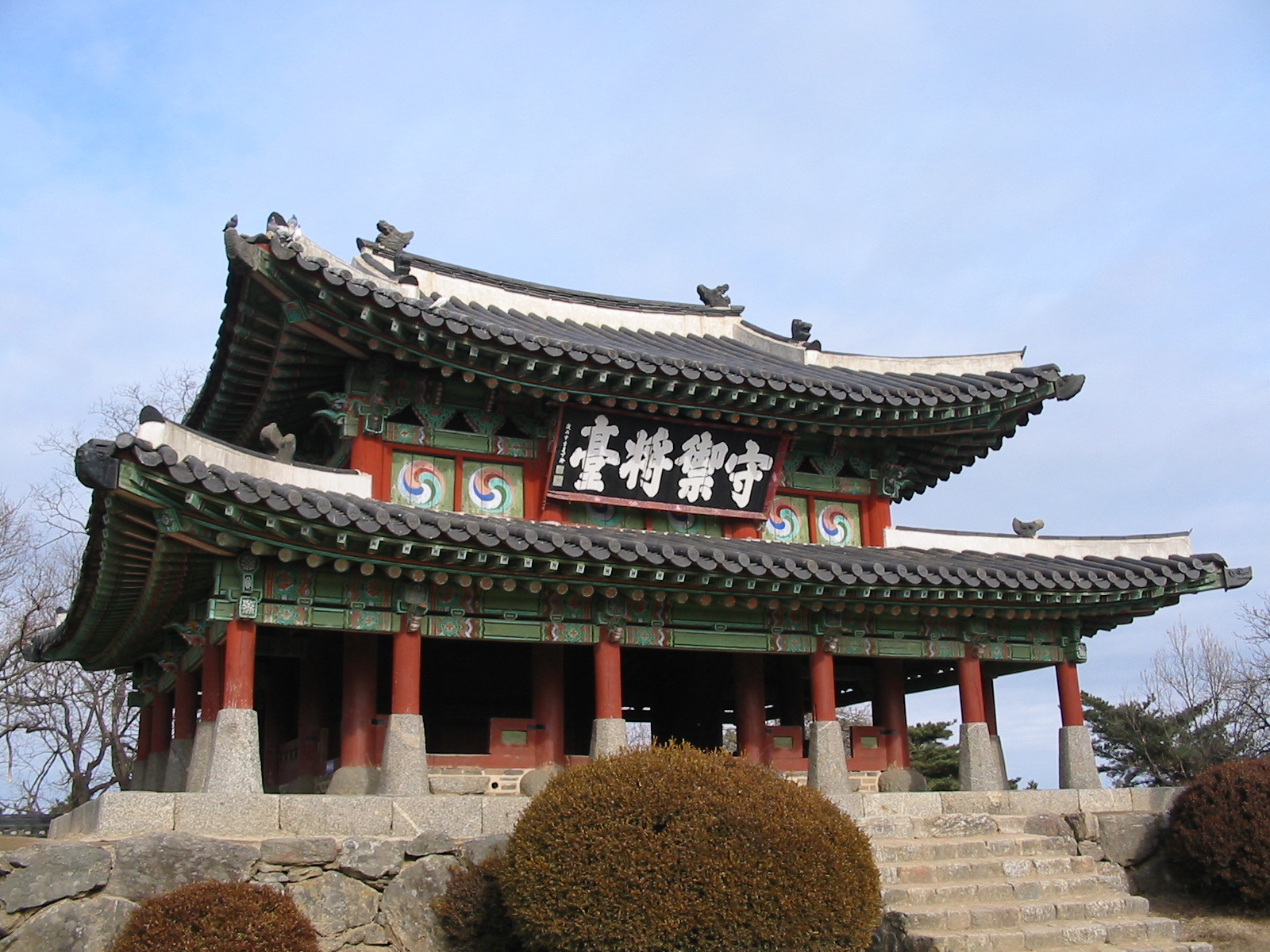
Gaya Tumuli
This serial property includes archaeological cemetery sites with burial mounds attributed to the Gaya Confederacy, which developed in the southern part of…
Explore the Map
Gaya Tumuli
34.9804° N, 128.3213° E
About
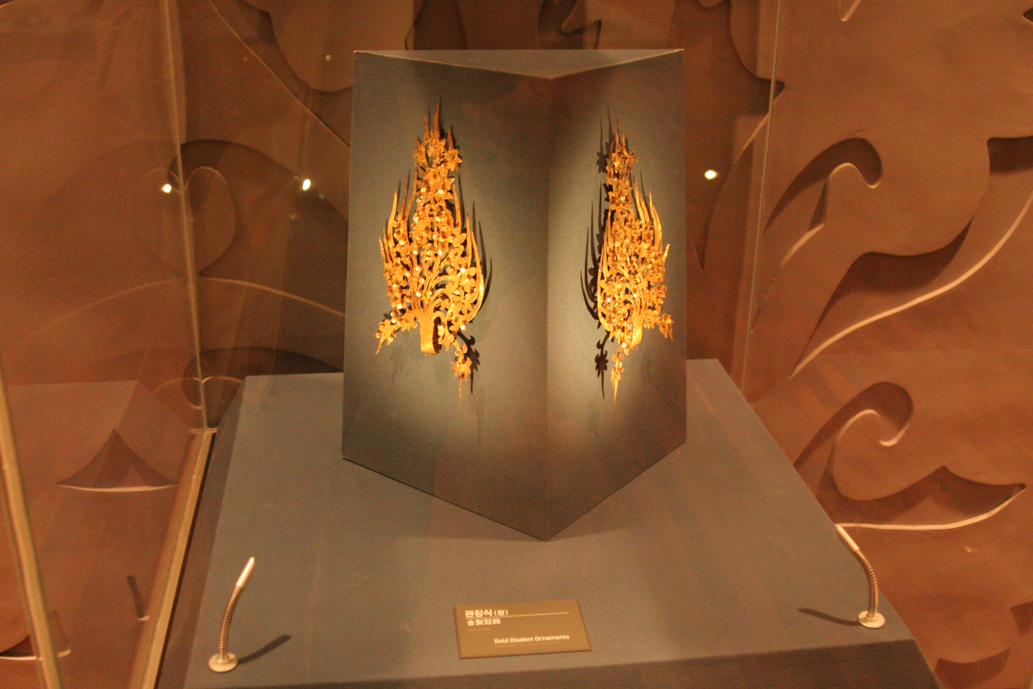
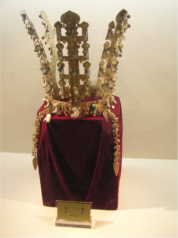
This serial property includes archaeological cemetery sites with burial mounds attributed to the Gaya Confederacy, which developed in the southern part of the Korean Peninsula from the 1st to the 6th century CE. Through their geographical distribution and landscape characteristics, types of burials, and grave goods, the cemeteries attest to the distinctive Gaya political system in which polities existed as autonomous political equals while sharing cultural commonalities. The introduction of new forms of tombs and the intensification of the spatial hierarchy in the tumuli sites reflect the stru
Plan Your Visit
Tours, travel arrangements, and practical information
Details
South Korea
34.98° N, 128.32° E
More Sites in South Korea
Achasanseong
Earthen mountain fortress from Three Kingdoms period
Tomb of King Muryeong
Intact Baekje royal tomb with artifacts.
Cheonmachong
Silla tomb with royal artifacts and painting
Igeum-dong
Megalithic cemetery and raised-floor buildings.

Daepyeong
Complex prehistoric site with ditch-enclosures.

Mongchontoseong
Ancient earthen rampart with palisade and moat