Gobustan Rock Art Cultural Landscape
<p>Gobustan Rock Art Cultural Landscape covers three areas of a plateau of rocky boulders rising out of the semi-desert of central Azerbaijan, with an…
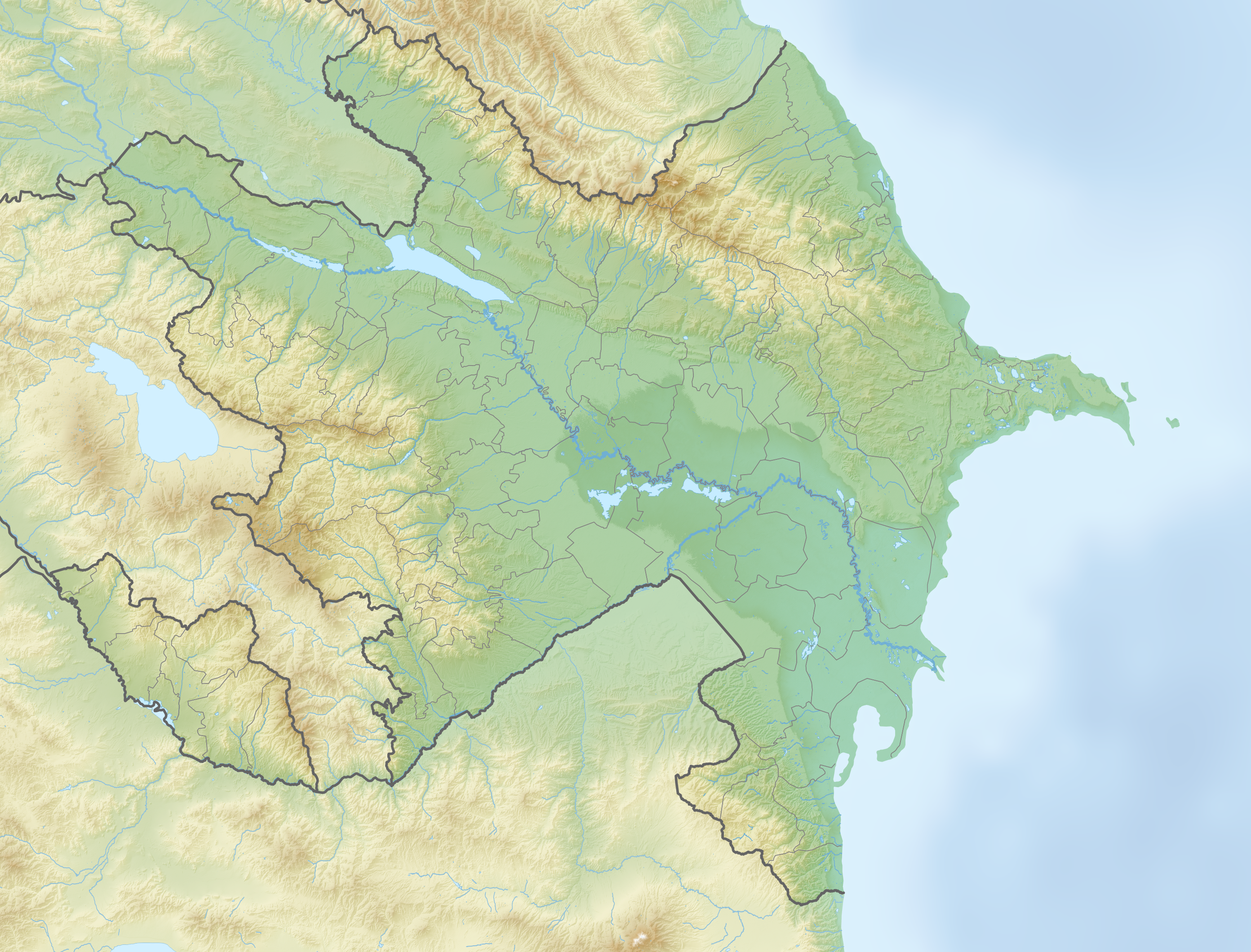
Explore the Map
Gobustan Rock Art Cultural Landscape
40.0585° N, 49.3962° E
About
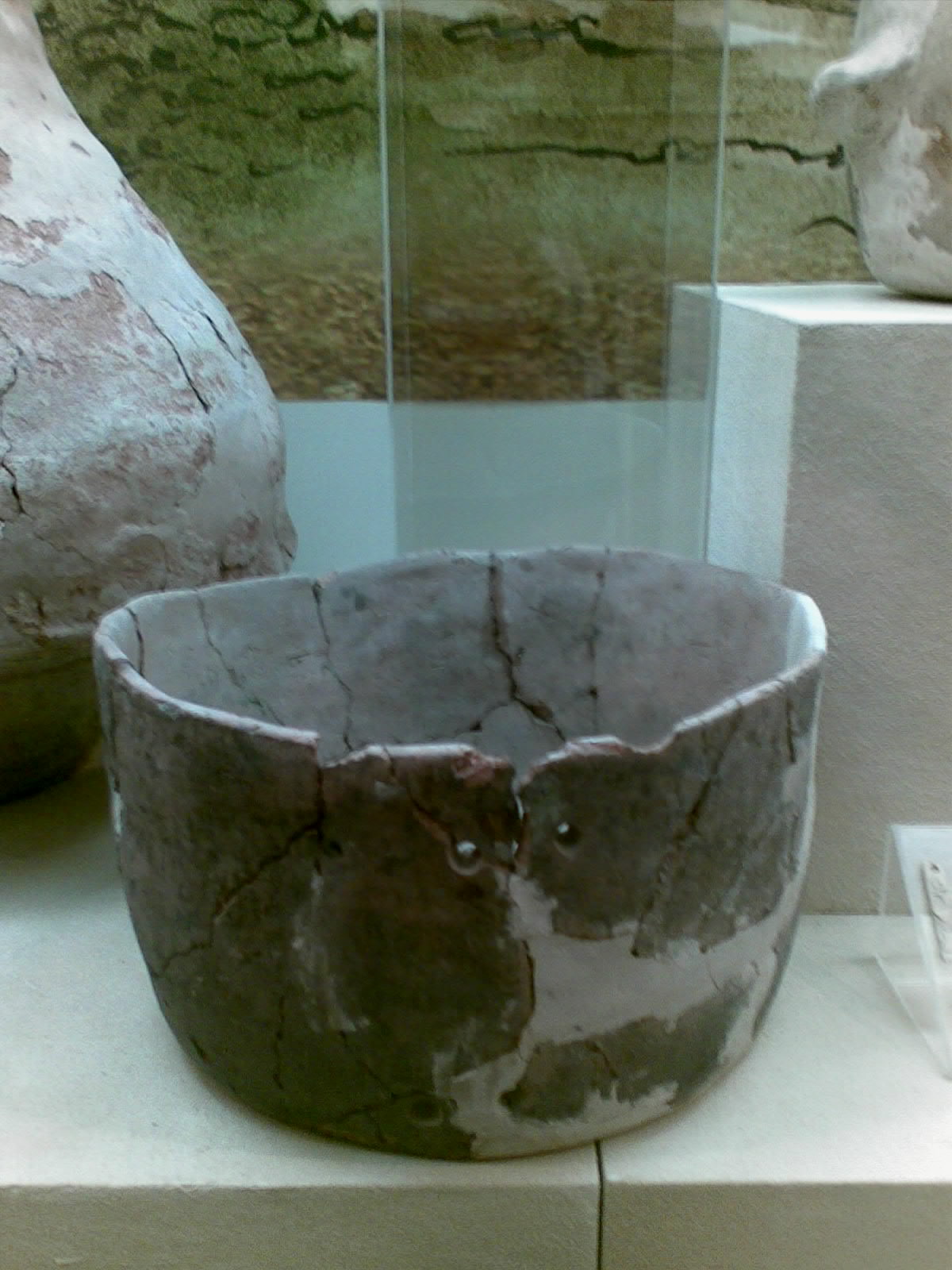
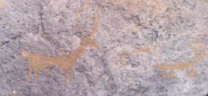
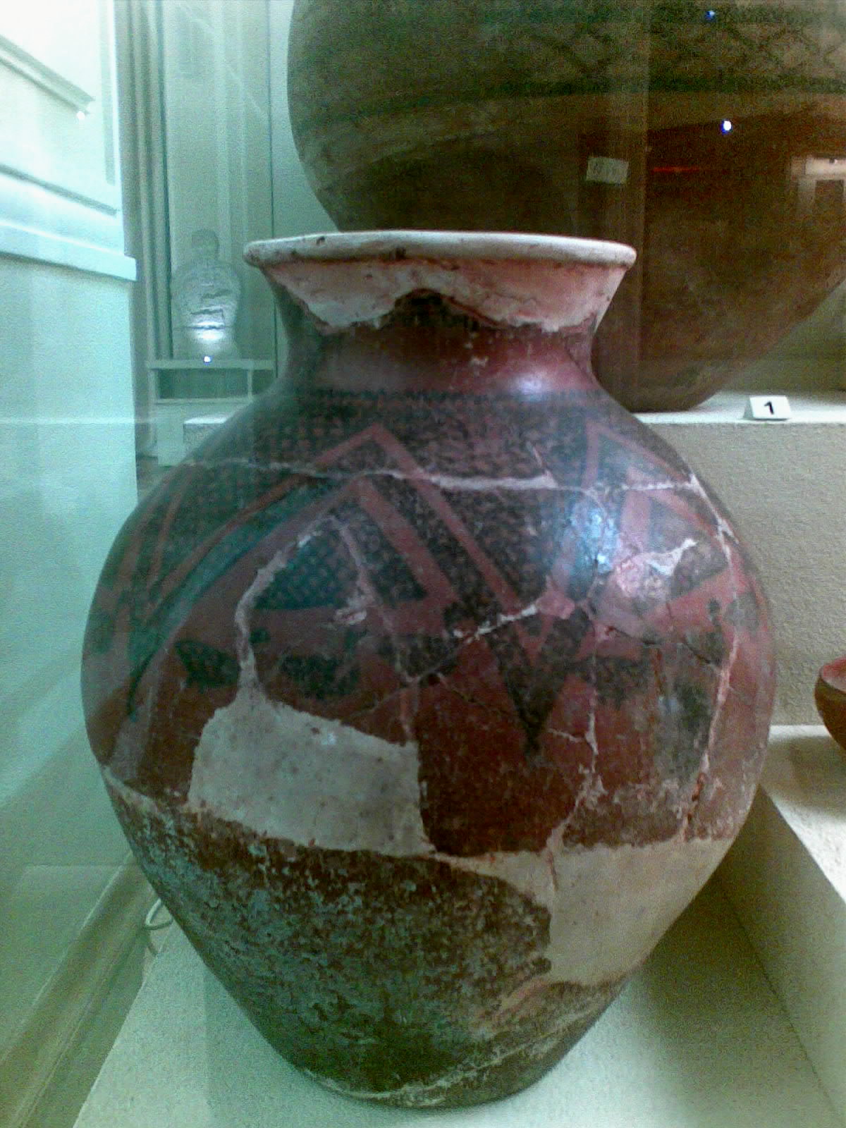
<p>Gobustan Rock Art Cultural Landscape covers three areas of a plateau of rocky boulders rising out of the semi-desert of central Azerbaijan, with an outstanding collection of more than 6,000 rock engravings bearing testimony to 40,000 years of rock art. The site also features the remains of inhabited caves, settlements and burials, all reflecting an intensive human use by the inhabitants of the area during the wet period that followed the last Ice Age, from the Upper Paleolithic to the Middle Ages. The site, which covers an area of 537 ha, is part of the larger protected Gobustan Reservation
Plan Your Visit
Tours, travel arrangements, and practical information
Details
Azerbaijan
40.06° N, 49.40° E
More Sites in Azerbaijan

Damjili Cave
Half-circular cave with prehistoric artifacts
Alikomektepe
Chalcolithic settlement with ritual and domestic structures
Gamigaya Petroglyphs
Petroglyphs of animals and symbols on rocks.
Allar Cave
Middle Paleolithic cave settlement in Azerbaijan
Kultepe-2
Bronze Age settlement with fortifications
Kültəpə
Multi-period tell and village in Nakhchivan, Azerbaijan