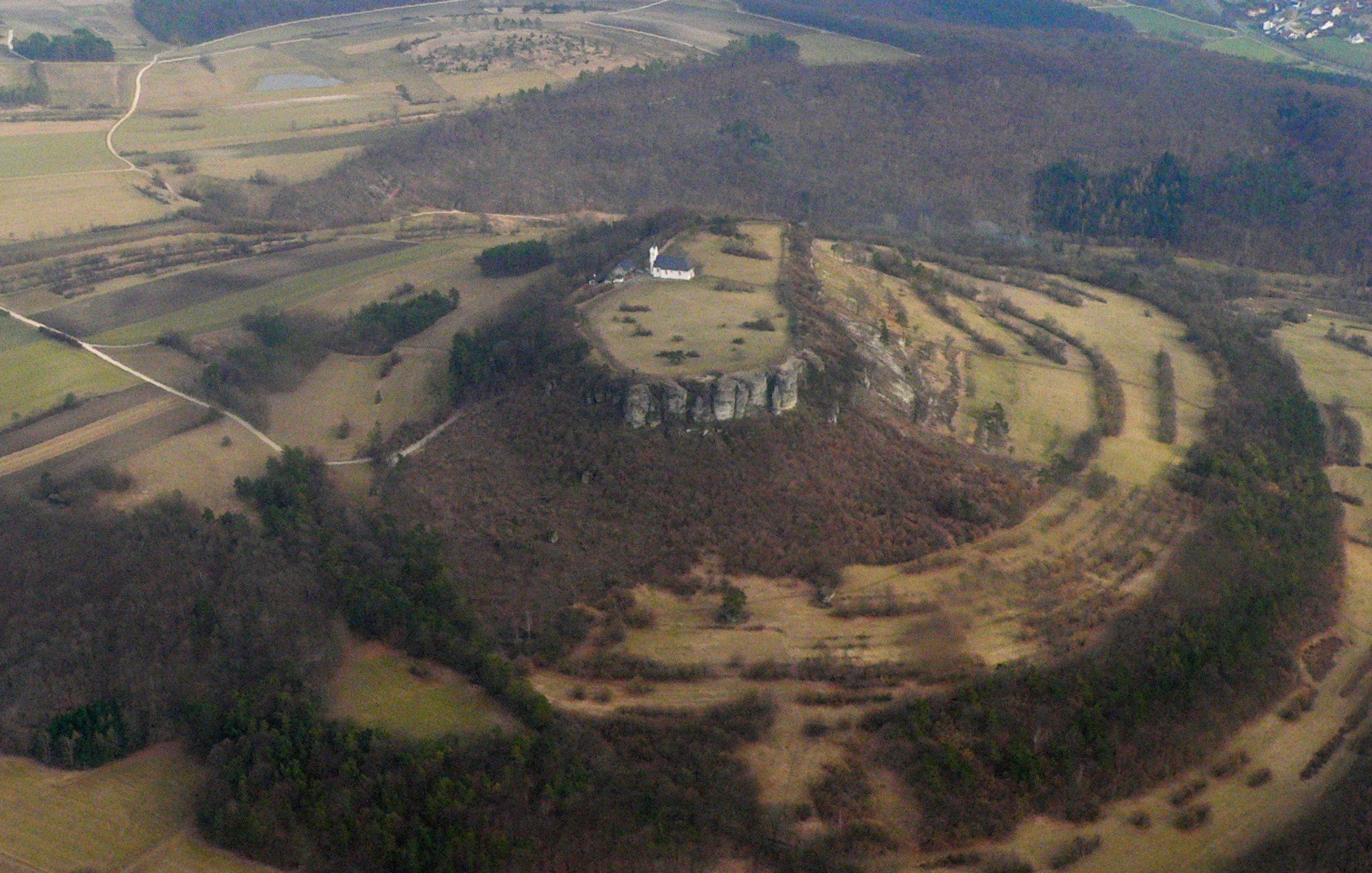
Explore the Map
Oppidum of Manching
48.7167° N, 11.5167° E
About
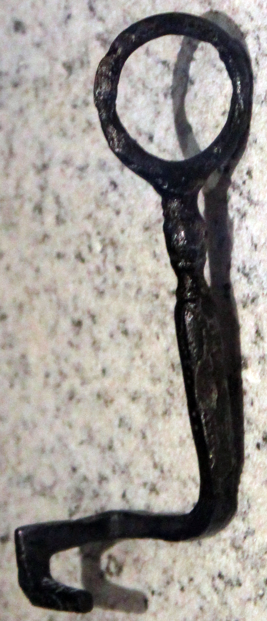
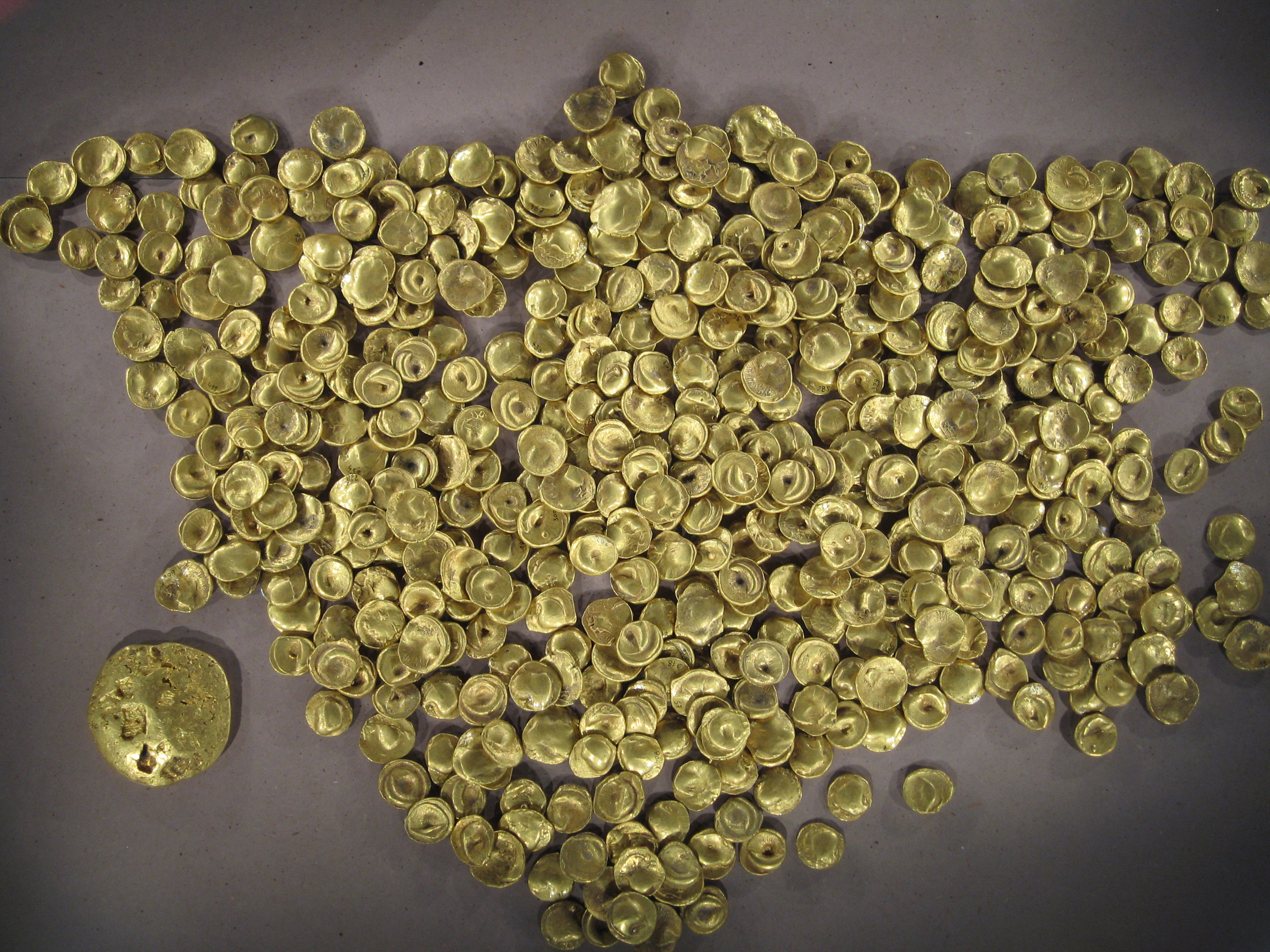
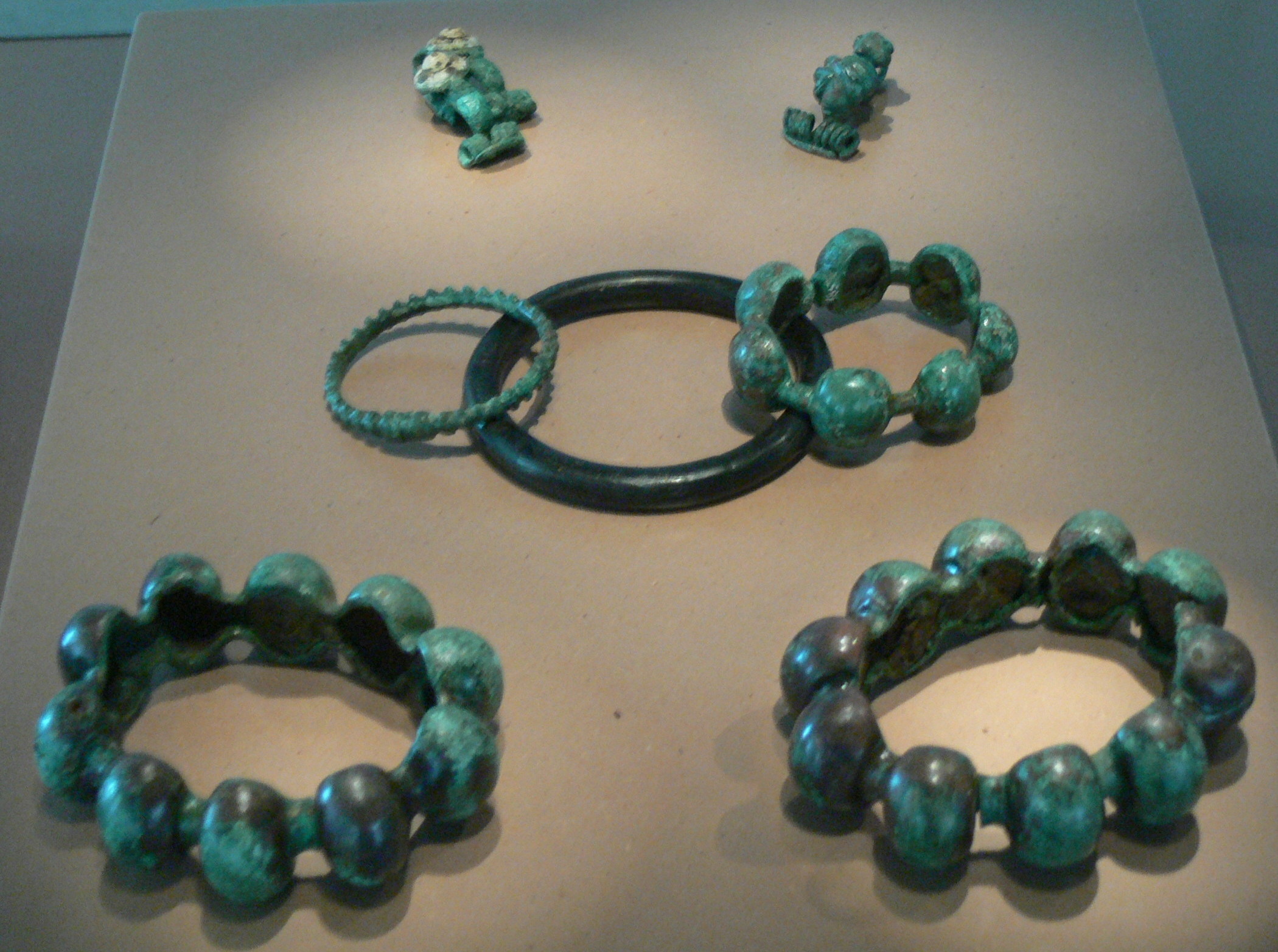
The Oppidum of Manching, located in Bavaria, Germany, was a significant Celtic settlement during the late Iron Age, dating back to the 3rd century BCE. It reached its peak size in the late 2nd century BCE, housing between 5,000 to 10,000 inhabitants within its 7.2 km defensive walls. The settlement was strategically placed at the junction of ancient trade routes near the rivers Paar and Danube, which facilitated long-distance trade. The oppidum featured a structured urban plan with systematic layouts, workshops for craft production, and a central cult complex. Despite its initial prosperity, economic decline following Julius Caesar's conquest of Gaul and possible military conflicts led to its abandonment by the mid-1st century BCE. Excavations have revealed a wealth of information about its advanced iron industry, trade networks, and cultural practices.
Gallery
Explore photographs of ancient structures, artifacts, and archaeological excavations

Historical Timeline
Journey through time and discover key events in this site's history
Founding of the Oppidum
c. 300 BCE
Largest Extent Reached
late 2nd century BCE
First Enclosure Wall
c. 150 BCE
Second Enclosure Wall
c. 104 BCE
Destruction of East Gate
80 BCE
Final Demise
c. 50-30 BCE
Archaeological Features
Unique architectural and cultural elements found at this historical site
Defensive Structures
Water Management Features
Burial and Funerary Structures
Industrial and Craft Structures
Religious and Ritual Structures
Domestic and Habitation Structures
Transportation and Communication Structures
Frequently Asked Questions
Plan Your Visit
Tours, travel arrangements, and practical information
More Sites in Germany
Menosgada
Celtic oppidum with defensive structures
Teufelsstein (Haardt)
Monolith with Celtic and Roman carvings
Milseburg
Extinct volcano with Celtic oppidum remains
Utin (castle)
9th-century Wendish castle on island
Kyffhausen Castle
Medieval castle ruin with Neolithic origins
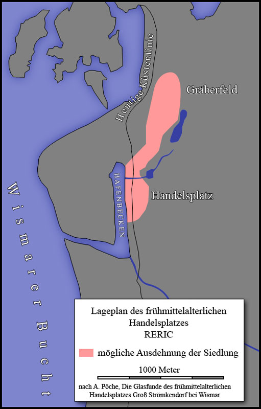
Reric
Slavic-Scandinavian Viking Age emporium remains