
Explore the Map
Pugung Raharjo
-5.3020° N, 105.5710° E
About
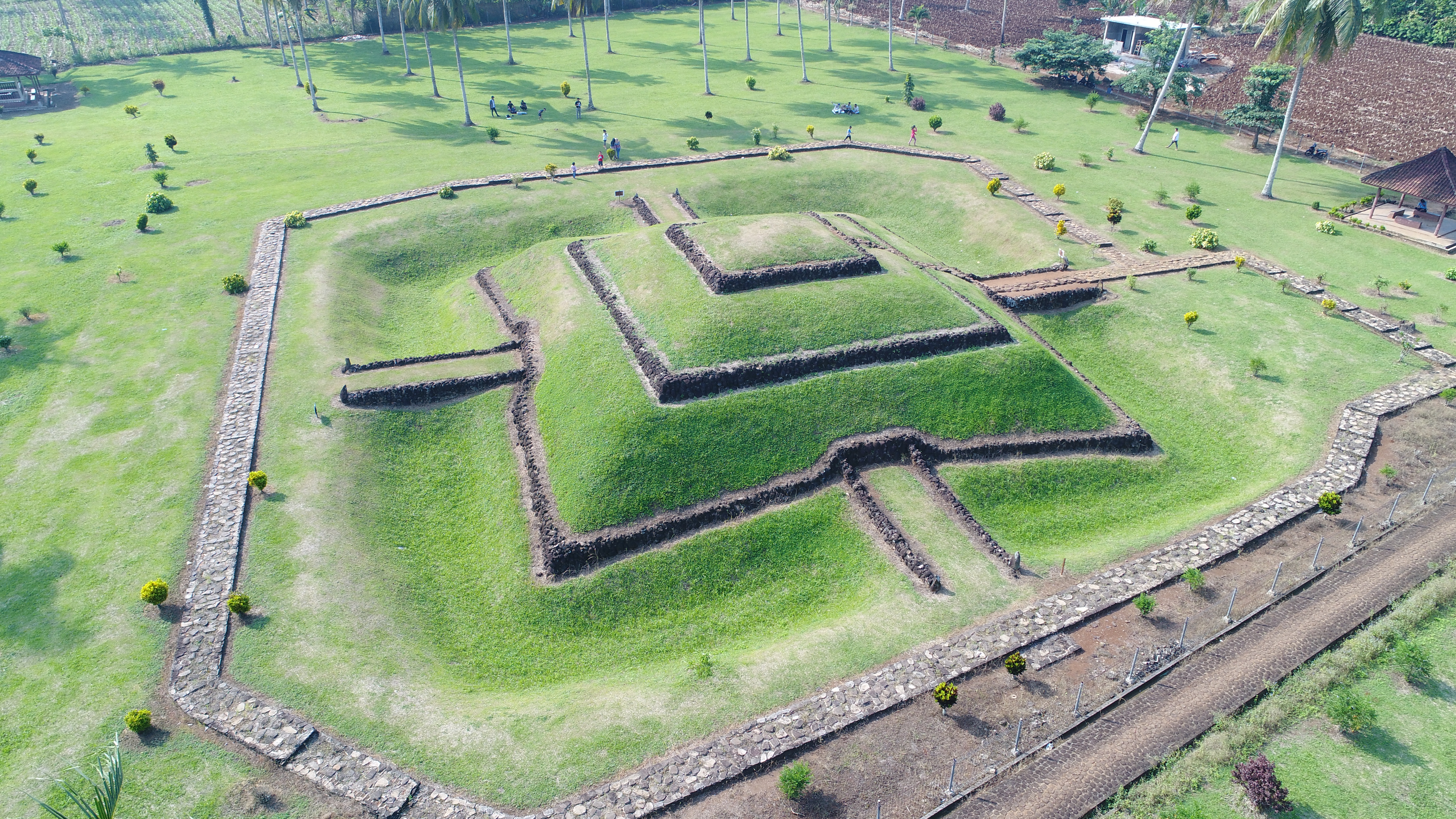
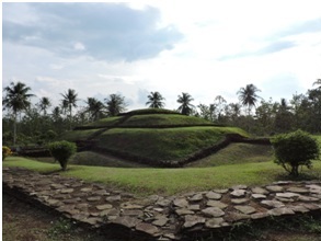
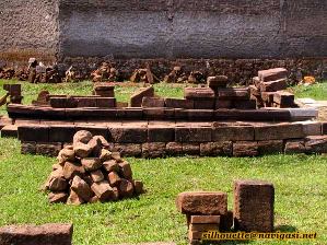
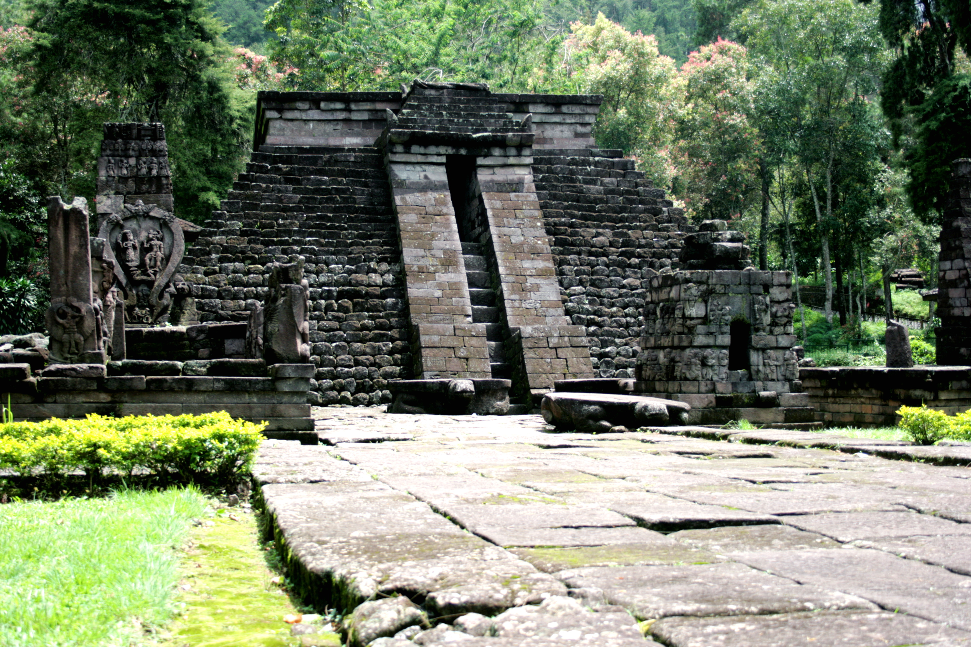
Pugung Raharjo is a significant archaeological site in East Lampung, Indonesia, encompassing an area of 30 hectares. It is renowned for its ancient megalithic structures, including a terraced pyramid and various menhirs and dolmen, which date back as early as 2500 BCE. The site, fortified with trenches and ramparts, suggests it was a protected settlement. Over time, it served as a religious center, evidenced by the presence of a bodhisattva statue, indicating its use as a Buddhist sacred site during the 12th to 16th centuries CE. Artifacts found at the site, such as Chinese porcelain and beads, illustrate its involvement in historical trade networks. Today, it is preserved as a national monument, showcasing its historical and cultural significance.
Gallery
Explore photographs of ancient structures, artifacts, and archaeological excavations
Historical Timeline
Journey through time and discover key events in this site's history
Neolithic Megalithic Construction
2500 BCE
Hindu-Buddhist Sacred Site
12th-16th century CE
12th-16th Century CE Structures
12th-16th century CE
Archaeological Features
Unique architectural and cultural elements found at this historical site
Defensive Structures
Burial and Funerary Structures
Religious and Ritual Structures
Artistic and Decorative Features
Agricultural and Land Use Features
Frequently Asked Questions
Plan Your Visit
Tours, travel arrangements, and practical information
More Sites in Indonesia
Bojongmenje
7th-century Hindu temple ruins in Java.
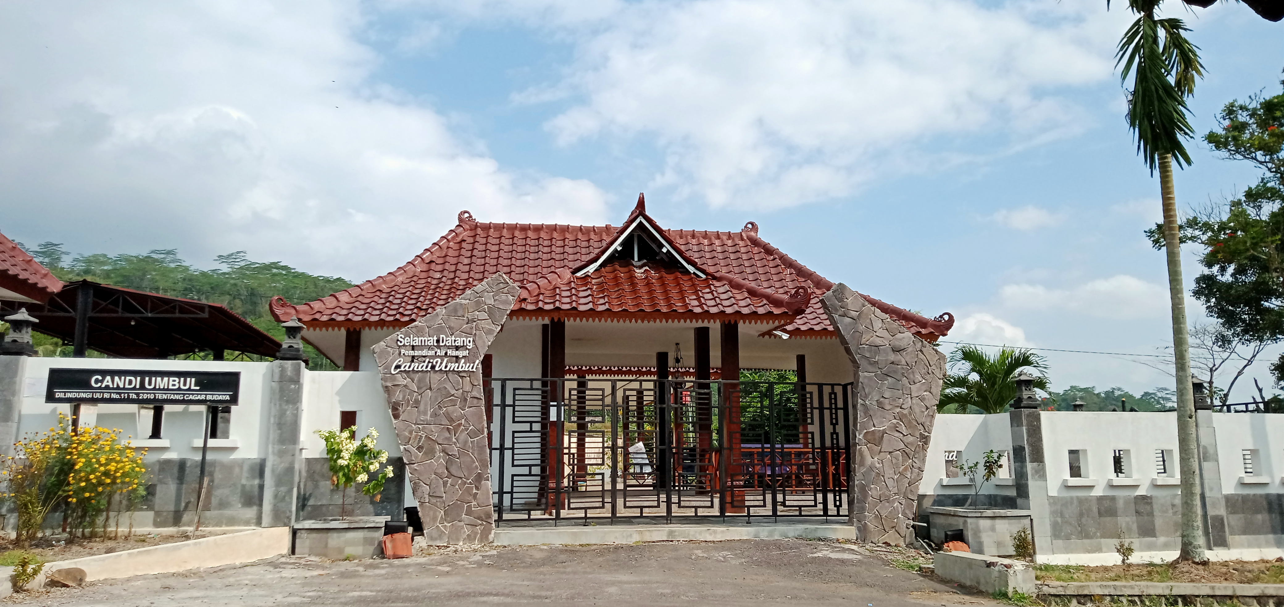
Umbul Temple
9th-century Hindu temple with bathing pools.
Gedong Songo
Hindu temples with Indian architectural influence.
Sojiwan
9th-century Mahayana Buddhist temple complex
Makam Papan Tinggi
7th-8th century funerary complex on hill
Sukuh
15th-century Javanese-Hindu pyramid temple