
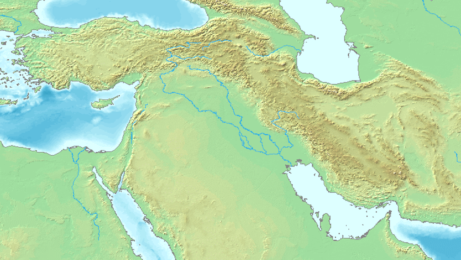
Explore the Map
Haft Tepe
32.0789° N, 48.3264° E
About
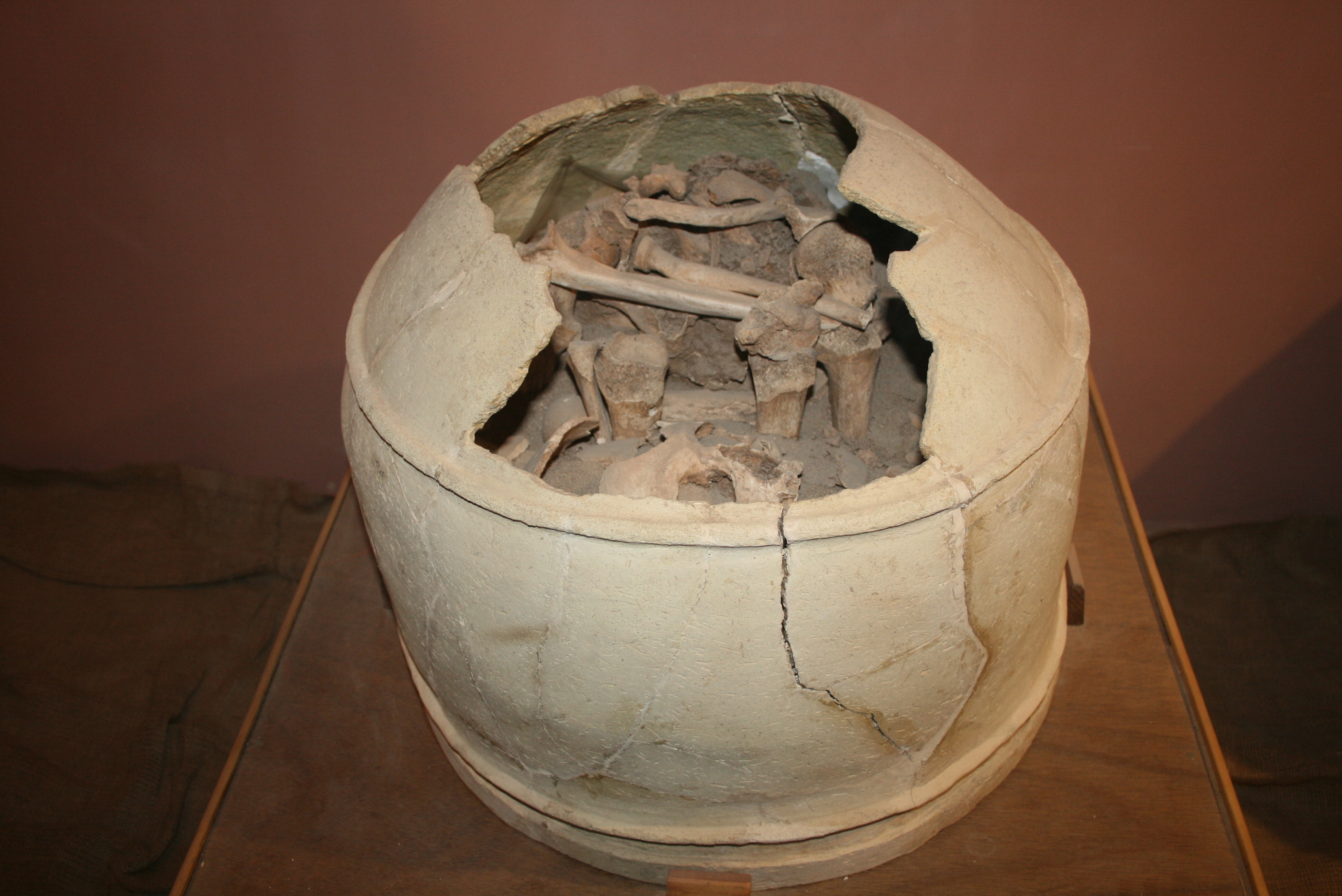
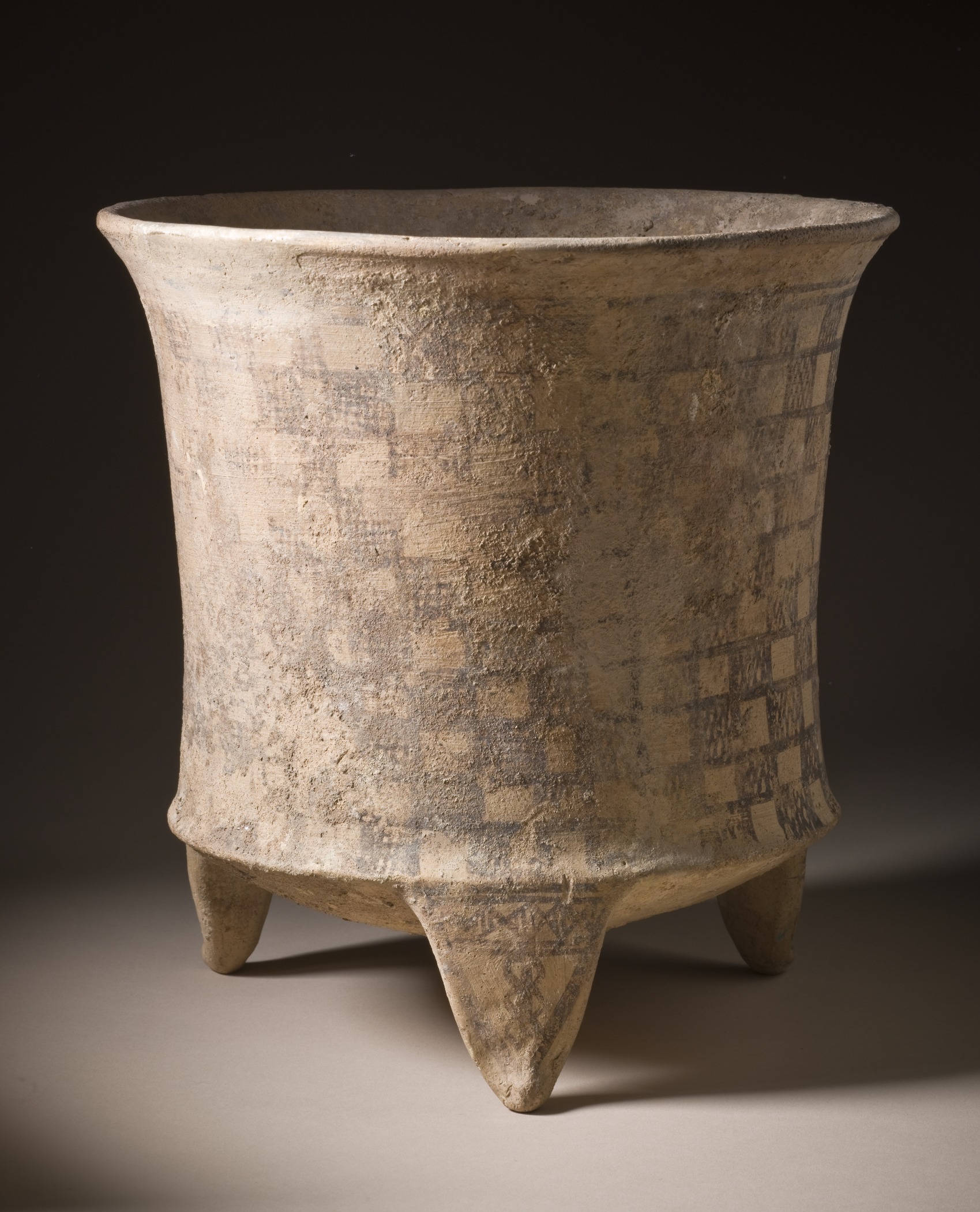
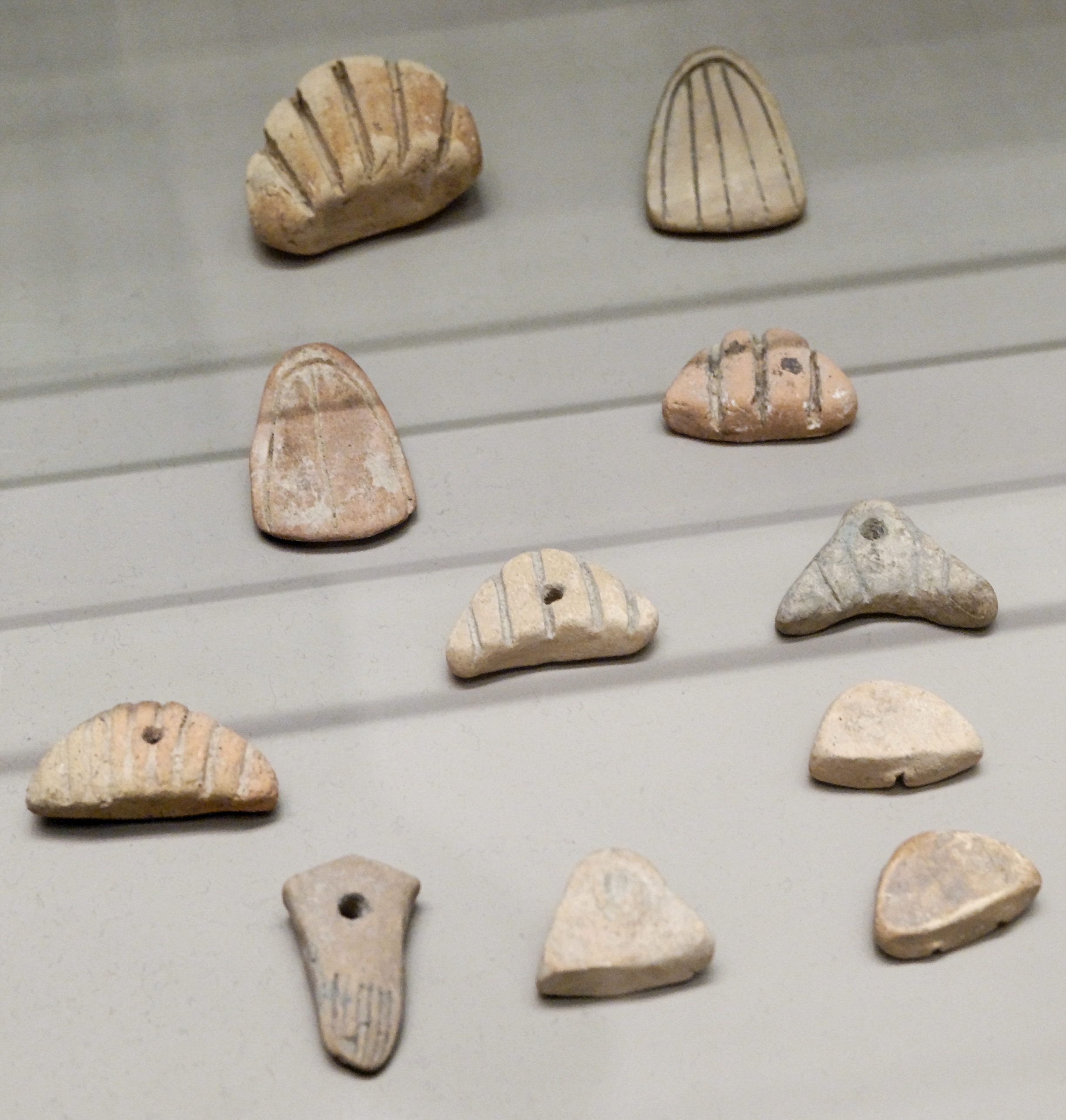
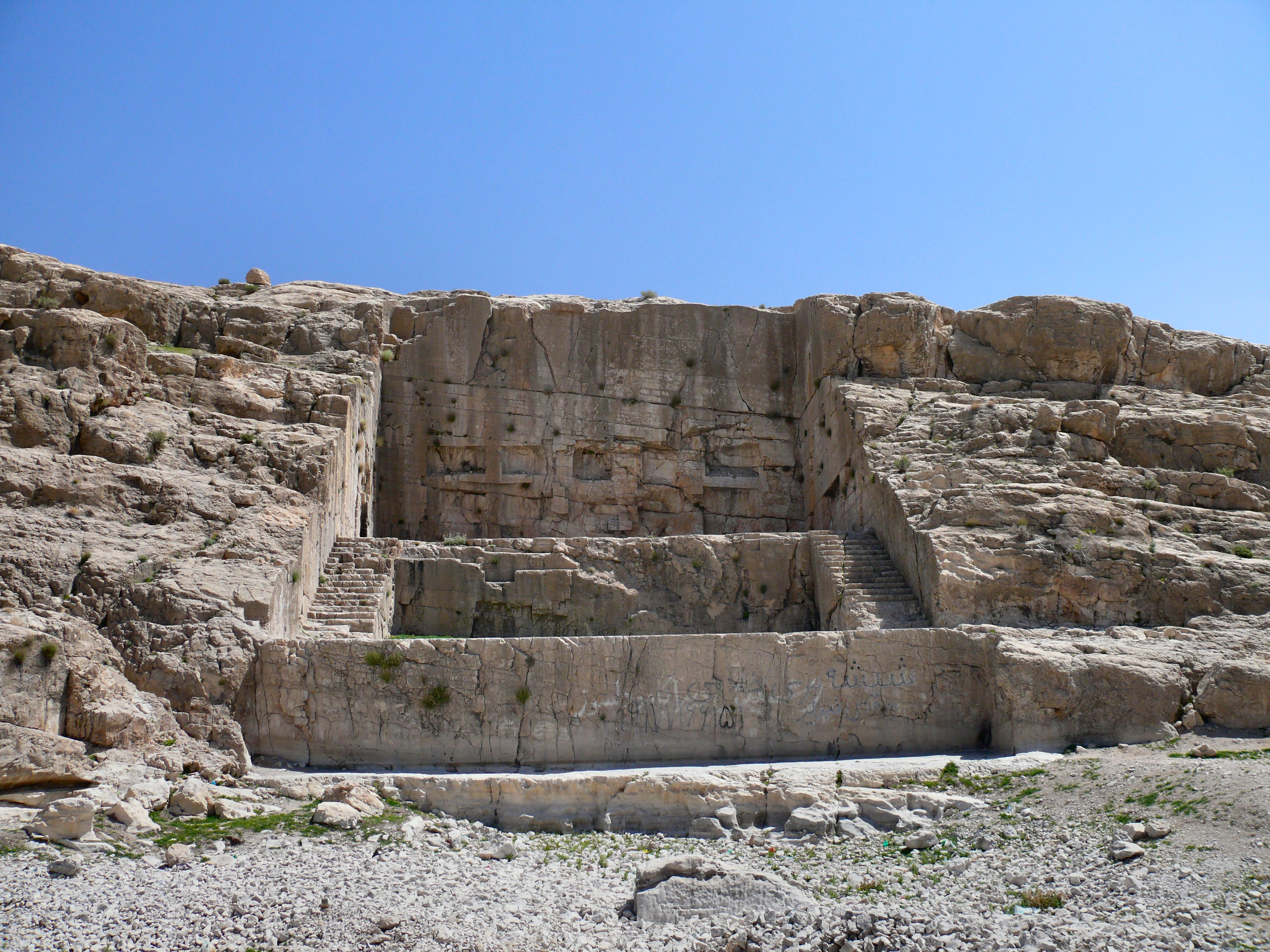
Haft Tepe is an archaeological site located in the Khuzestan Province of southwestern Iran, near the ancient city of Susa. The site is notable for its association with the Elamite city of Kabnak, possibly established during the rule of the Elamite king Tepti-Ahar in the 15th century BCE. It features significant remains, including a large funerary complex and probable palace, both constructed using mud-brick. The site includes an intricate subterranean funerary area, likely intended for the king and his family, adorned with bronze plates and wall paintings. Additionally, the site contains a potential ziggurat foundation and several terracotta sarcophagi. Haft Tepe provides valuable insights into the Elamite civilization and its architectural, religious, and funerary practices during the Late Bronze Age.
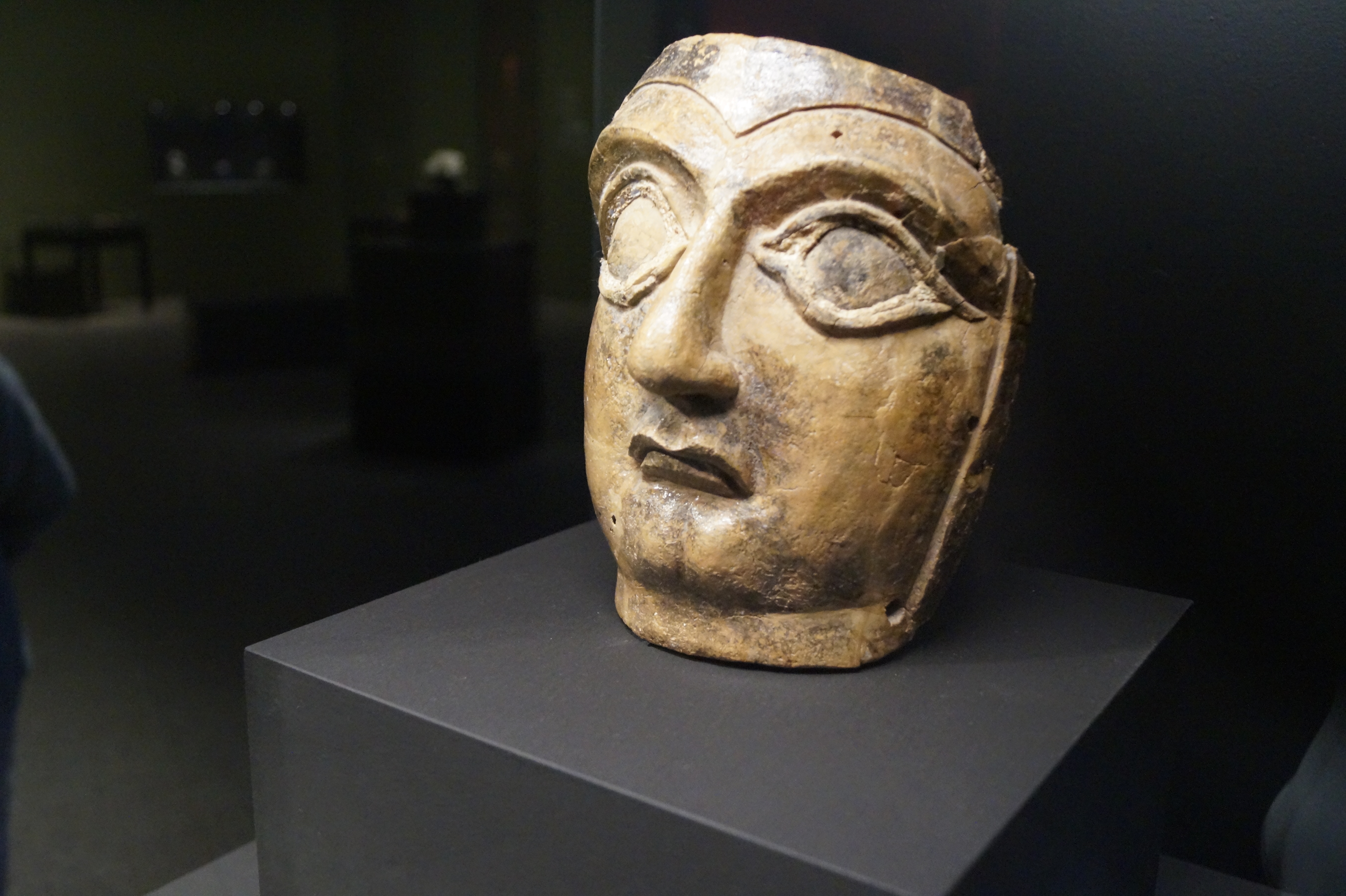
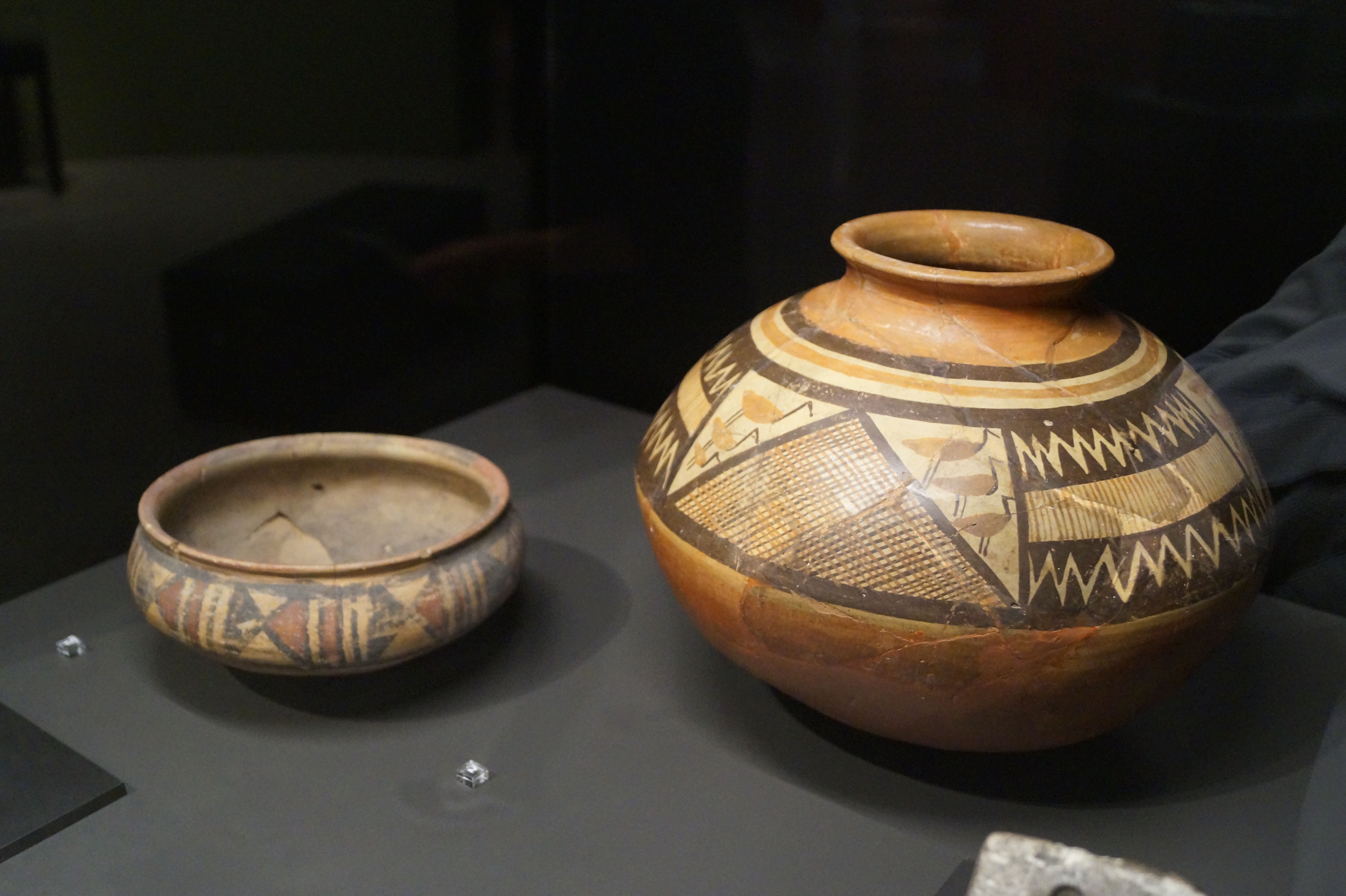
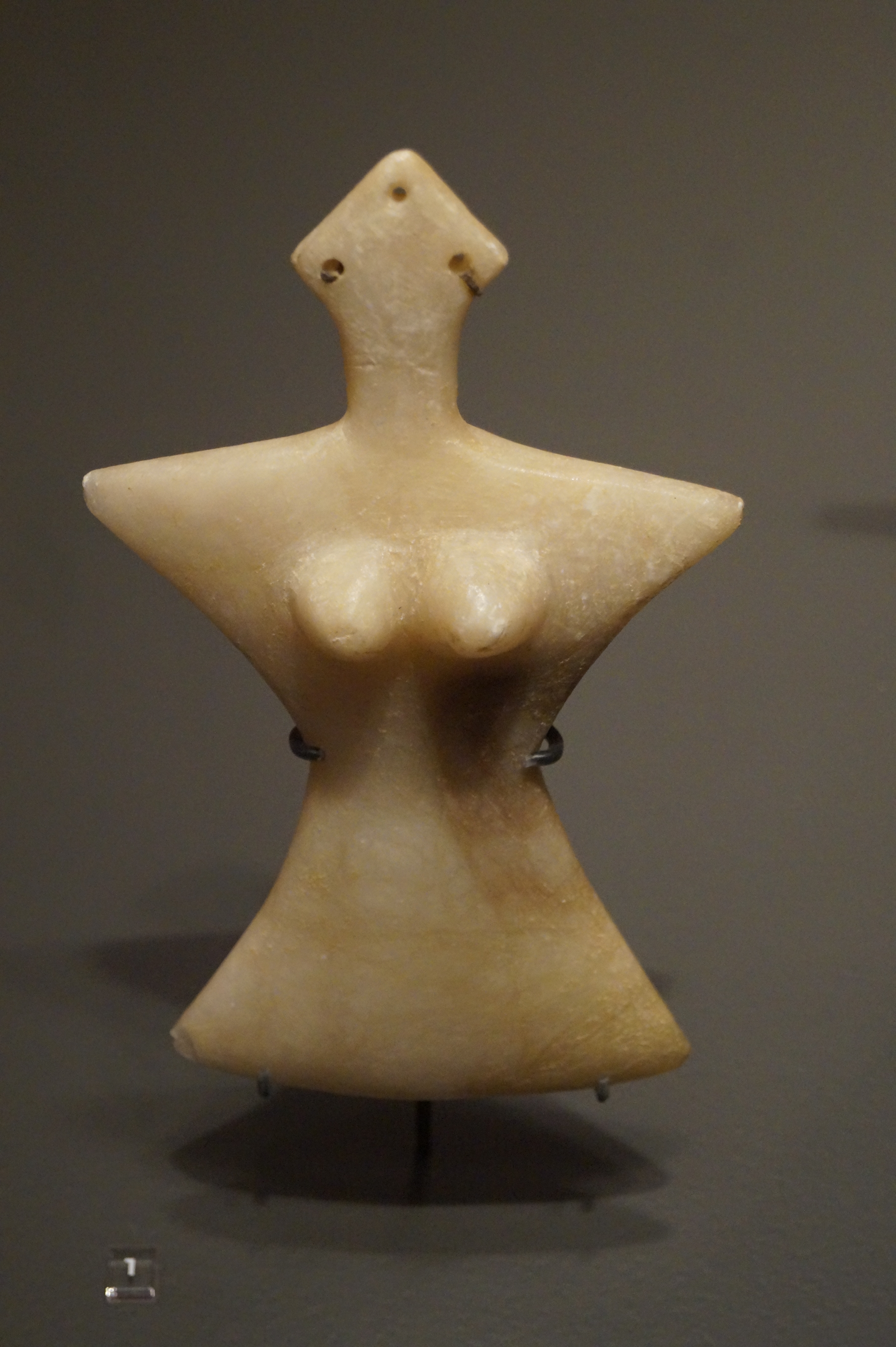
Gallery
Explore photographs of ancient structures, artifacts, and archaeological excavations
Historical Timeline
Journey through time and discover key events in this site's history
Tepti-Ahar reign and construction
1400 BCE
Archaeological Features
Unique architectural and cultural elements found at this historical site
Burial and Funerary Structures
Industrial and Craft Structures
Religious and Ritual Structures
Artistic and Decorative Features
Domestic and Habitation Structures
Frequently Asked Questions
Plan Your Visit
Tours, travel arrangements, and practical information
More Sites in Iran
Tepe Hissar
Prehistoric site with rich cultural artifacts
Tepe Giyan
Necropolis with distinctive pottery in Iran.
Tepe Sofalin
Ancient mound with Proto-Elamite artifacts
Qadamgah (ancient site)
Achaemenid rock-cut monument with terraces
Tappeh Berdankan
Sasanian site with diverse pottery artifacts.
Teppe Zagheh
Early urban settlement with painted buildings.