The Persian Qanat
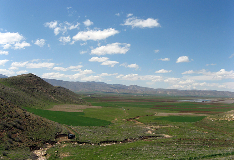
<p>Throughout the arid regions of Iran, agricultural and permanent settlements are supported by the ancient qanat system of tapping alluvial aquifers at the…
Explore the Map
The Persian Qanat
29.0894° N, 58.3986° E
About
<p>Throughout the arid regions of Iran, agricultural and permanent settlements are supported by the ancient qanat system of tapping alluvial aquifers at the heads of valleys and conducting the water along underground tunnels by gravity, often over many kilometres. The eleven qanats representing this system include rest areas for workers, water reservoirs and watermills. The traditional communal management system still in place allows equitable and sustainable water sharing and distribution. The qanats provide exceptional testimony to cultural traditions and civilizations in desert areas with a
Plan Your Visit
Tours, travel arrangements, and practical information
Details
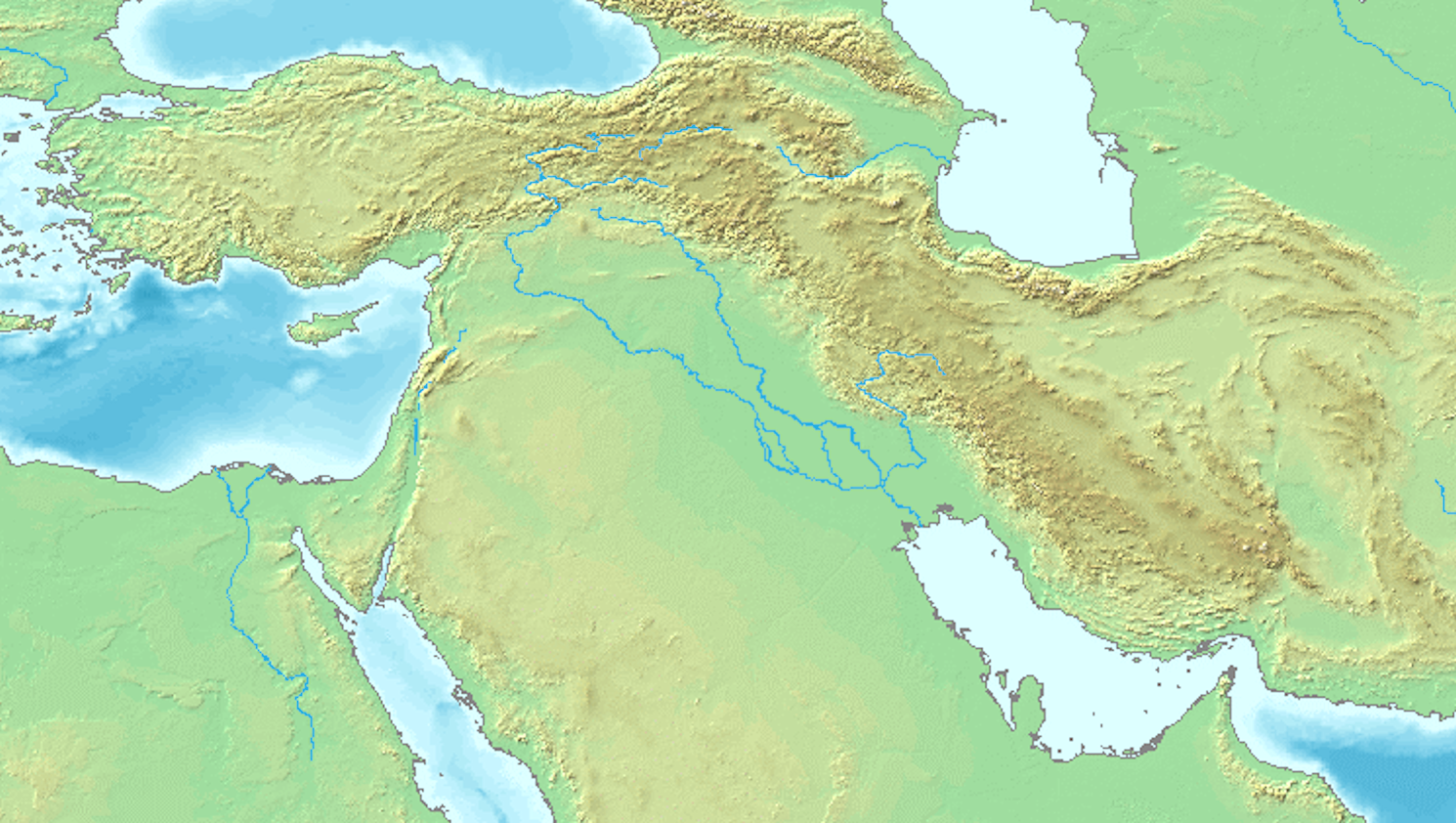
Iran
29.09° N, 58.40° E
More Sites in Iran
Qaleh Kurd
Prehistoric cave site with human activity evidence
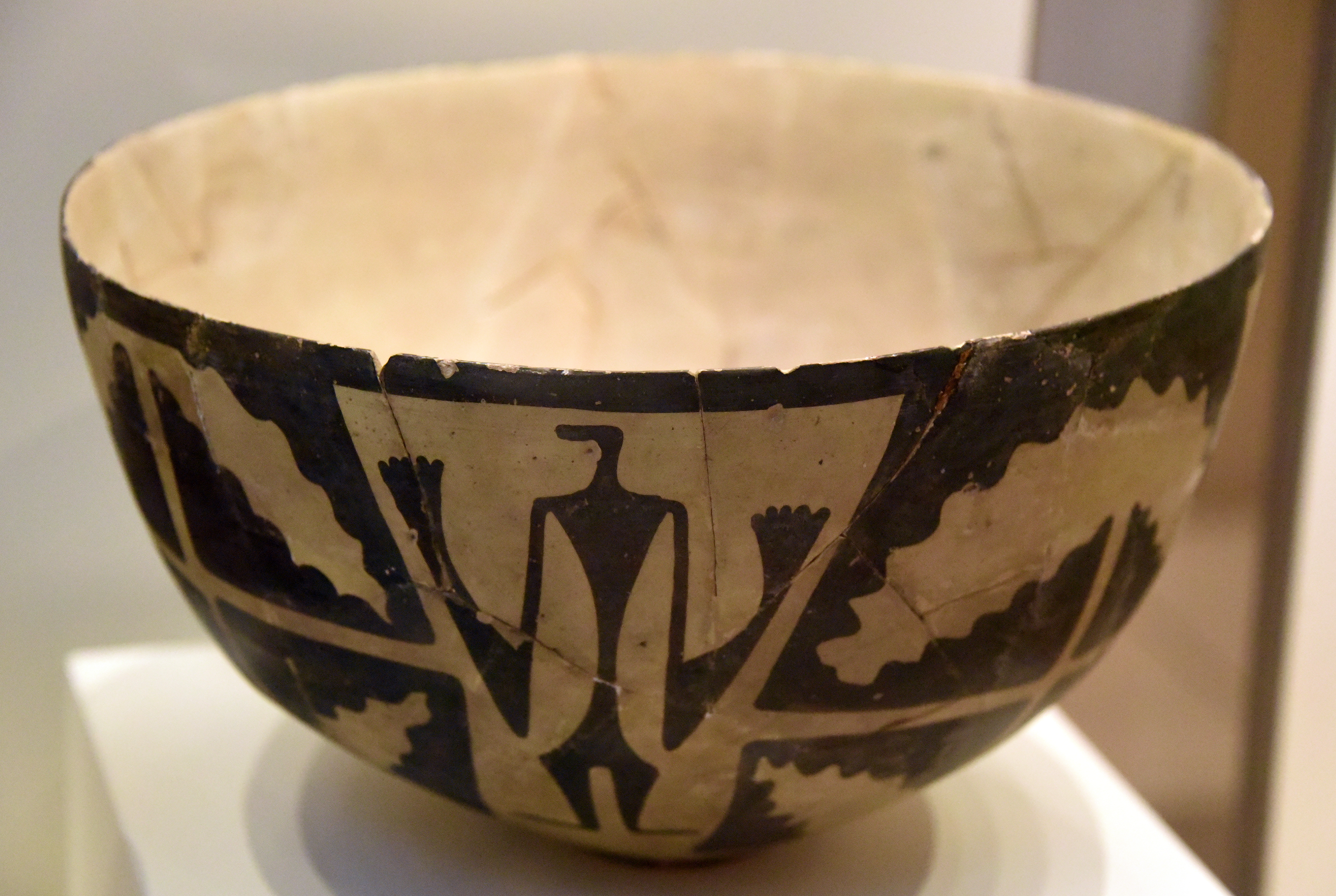
Tall-i Bakun
Prehistoric mounds with rich pottery culture
Teppe Zagheh
Early urban settlement with painted buildings.
Rahmatabad Mound
Ancient Chalcolithic settlement with industrial features
Wezmeh
Pleistocene cave site in western Iran
Tepe Hissar
Prehistoric site with rich cultural artifacts