
Explore the Map
Anbar (town)
33.3750° N, 43.7167° E
About
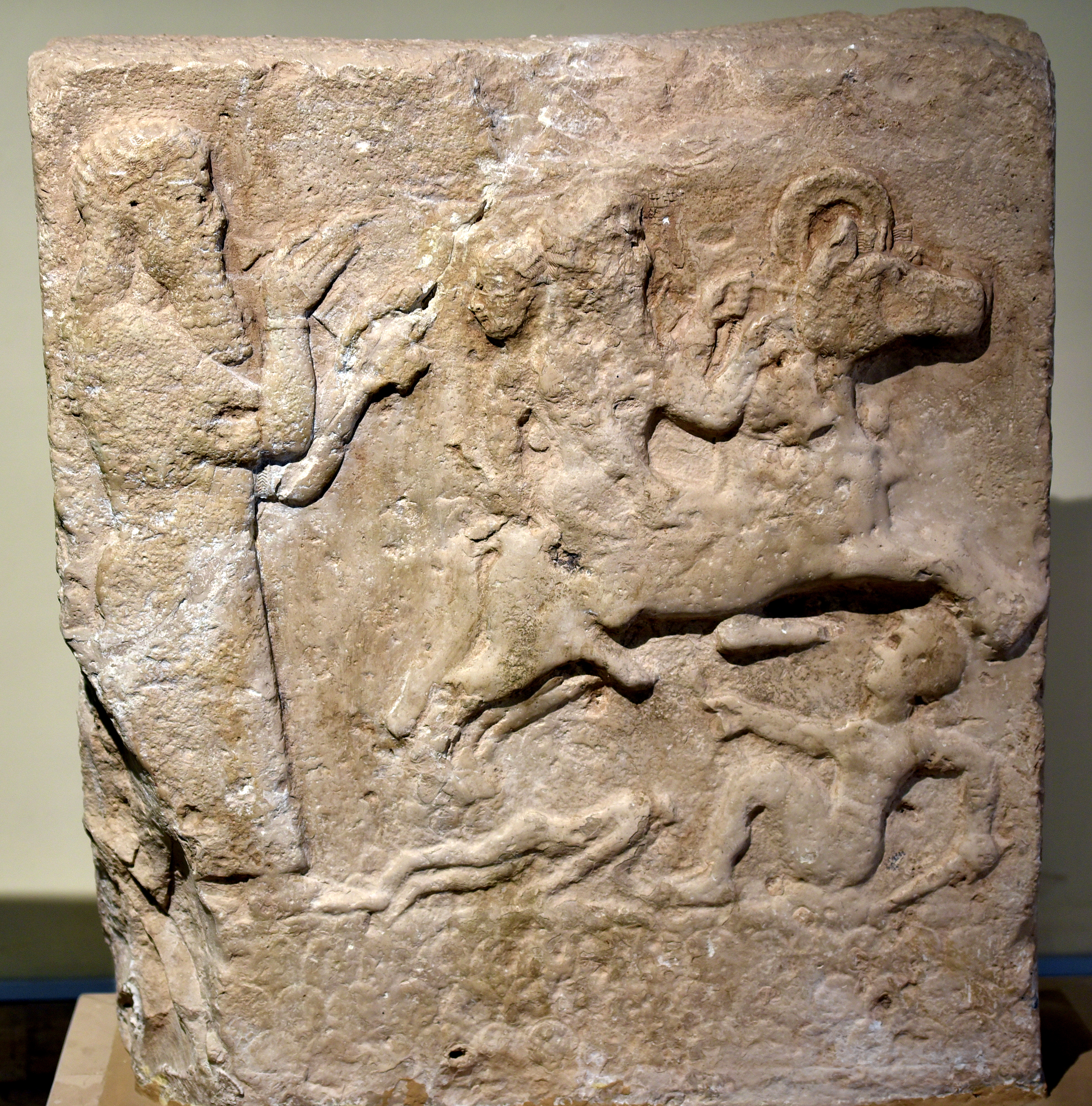
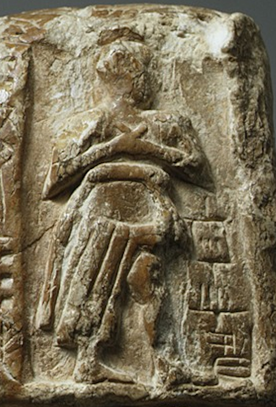
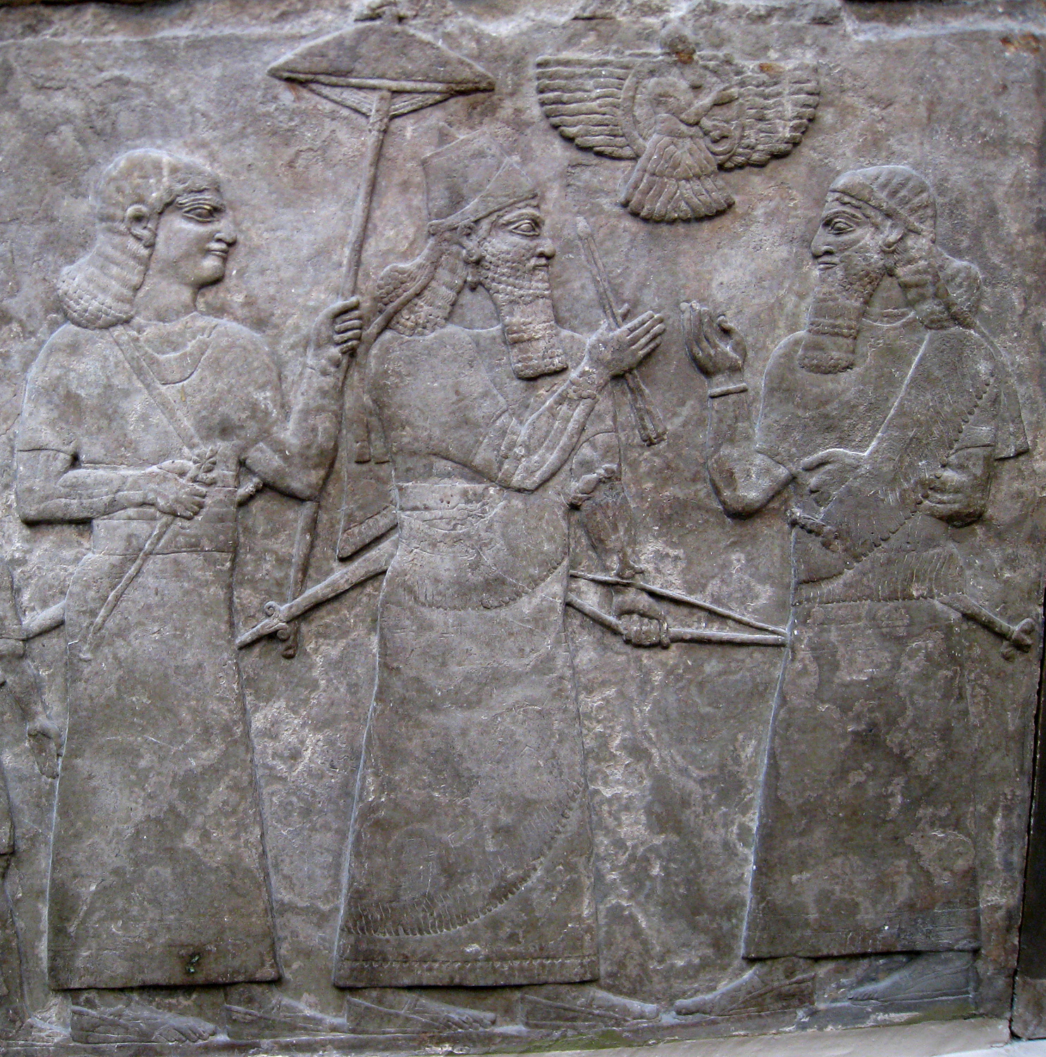
Anbar, an ancient and medieval town located in central Iraq, has a rich archaeological history marked by its strategic location and role in various empires. Originally known as Misiche, it served as a significant military and trade hub due to its position at a major Euphrates crossing and the northern point of an extensive irrigation network. The town saw fortifications under Sasanian ruler Shapur I and later became a site of conflict during Roman and Sasanian wars. Anbar flourished as an ecclesiastical center and held a diverse population including Persians, Arabs, and Jews. It gained prominence as the Abbasid Caliphate's capital before the founding of Baghdad. Over time, the town faced numerous sacks and declined, yet it continued as an administrative center until the 14th century. The ruins near Fallujah, including fortifications and religious structures, reflect its historical significance.
Gallery
Explore photographs of ancient structures, artifacts, and archaeological excavations
Historical Timeline
Journey through time and discover key events in this site's history
Sasanian Fortification
241-272 CE
Battle of Misiche
244 CE
Julian Sacks and Burns
363 CE
Rashidun Caliphate Conquest
633 CE
Abbasid Capital Establishment
752 CE
Abbasid Decline and Bedouin Attacks
899 CE
Qarmatian Sacking
927 CE
Mongol Sacking
1262 CE
Ilkhanid Administration
1300s CE
Archaeological Features
Unique architectural and cultural elements found at this historical site
Storage Structures
Defensive Structures
Water Management Features
Public and Civic Structures
Religious and Ritual Structures
Domestic and Habitation Structures
Frequently Asked Questions
Plan Your Visit
Tours, travel arrangements, and practical information
More Sites in Iraq
Tell Bazmusian
Large tell site with multi-period occupation.
Tell Taya
Ancient hill city with fortifications and artifacts.
Tell al-Lahm
Oblong mound with city wall remnants
Larsa
Sumerian city-state and temple complex, Isin–Larsa period
Assur
Ancient Assyrian city on the Tigris River
Tell Muhammad
Ancient site with fortifications and tablets