Explore the Map
Nakatakase Kannonyama Site
36.5133° N, 139.0397° E
About
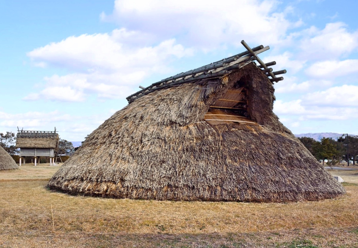
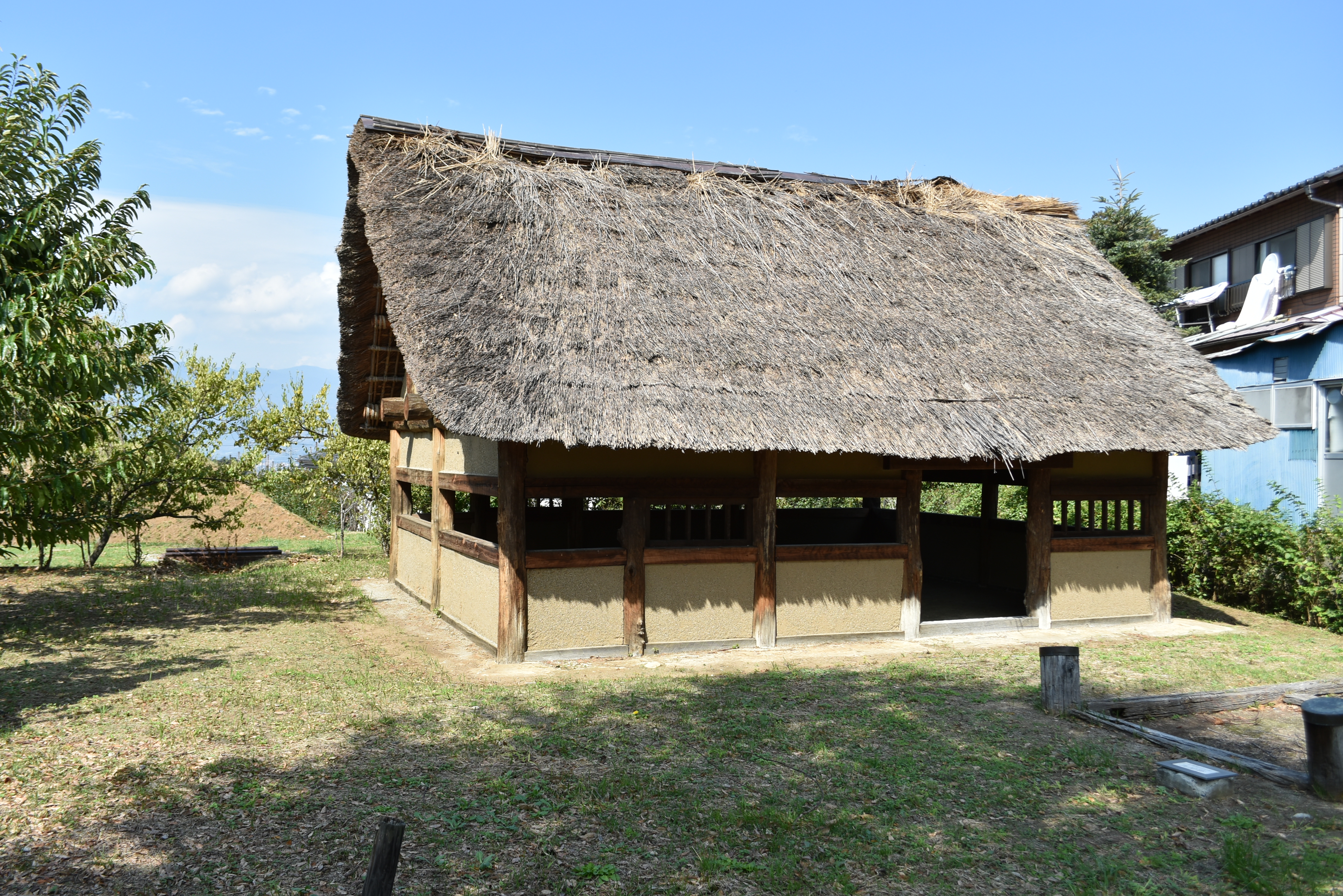
The Nakatakase Kannonyama Site in Tomioka, Gunma Prefecture, Japan, is a significant archaeological site featuring the remnants of a Yayoi period settlement. Located on the right bank of the Kabura River, the site sits at an elevation of 230 meters. It encompasses a large settlement area, approximately 200 meters by 350 meters, characterized by densely distributed pit dwellings and protective fortifications, including a wooden palisade and a moat. Artifacts found at the site span from Jōmon to late Yayoi period, including pottery, stone tools, and glass beads, indicating a thriving community with advanced craft production. The settlement, which housed over 140 buildings, was ultimately destroyed by fire, suggesting possible conflict or warfare. The site's designation as a National Historic Site underscores its cultural and historical importance in understanding the Yayoi period in Japan.
Historical Timeline
Journey through time and discover key events in this site's history
Settlement Construction
3rd century BCE
Village Destruction by Fire
Unknown
Archaeological Features
Unique architectural and cultural elements found at this historical site
Defensive Structures
Industrial and Craft Structures
Domestic and Habitation Structures
Frequently Asked Questions
Plan Your Visit
Tours, travel arrangements, and practical information


More Sites in Japan
Yoshizaki-Suba Site
Yayoi period settlement remains, Ishikawa, Japan.
Mangyō Site
Late Yayoi–Early Kofun settlement, Nanao (Ishikawa), Japan
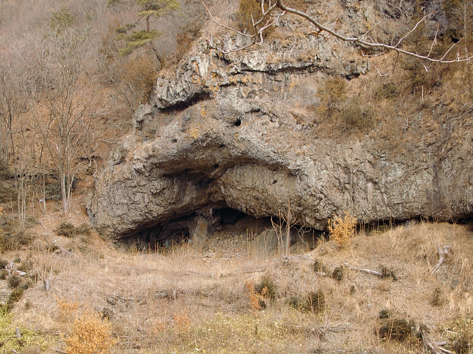
Tobayama Cave
Cave dwelling and tomb with grave goods
Kushidashin Site
Late Jōmon settlement with Kofun burial mounds.
Katsunuma clan residence ruins
Sengoku period fortified residence ruins.
Tenpaku Site
Jōmon necropolis and ritual site in Japan