Explore the Map
Sanam, Sudan
18.4833° N, 31.8167° E
About
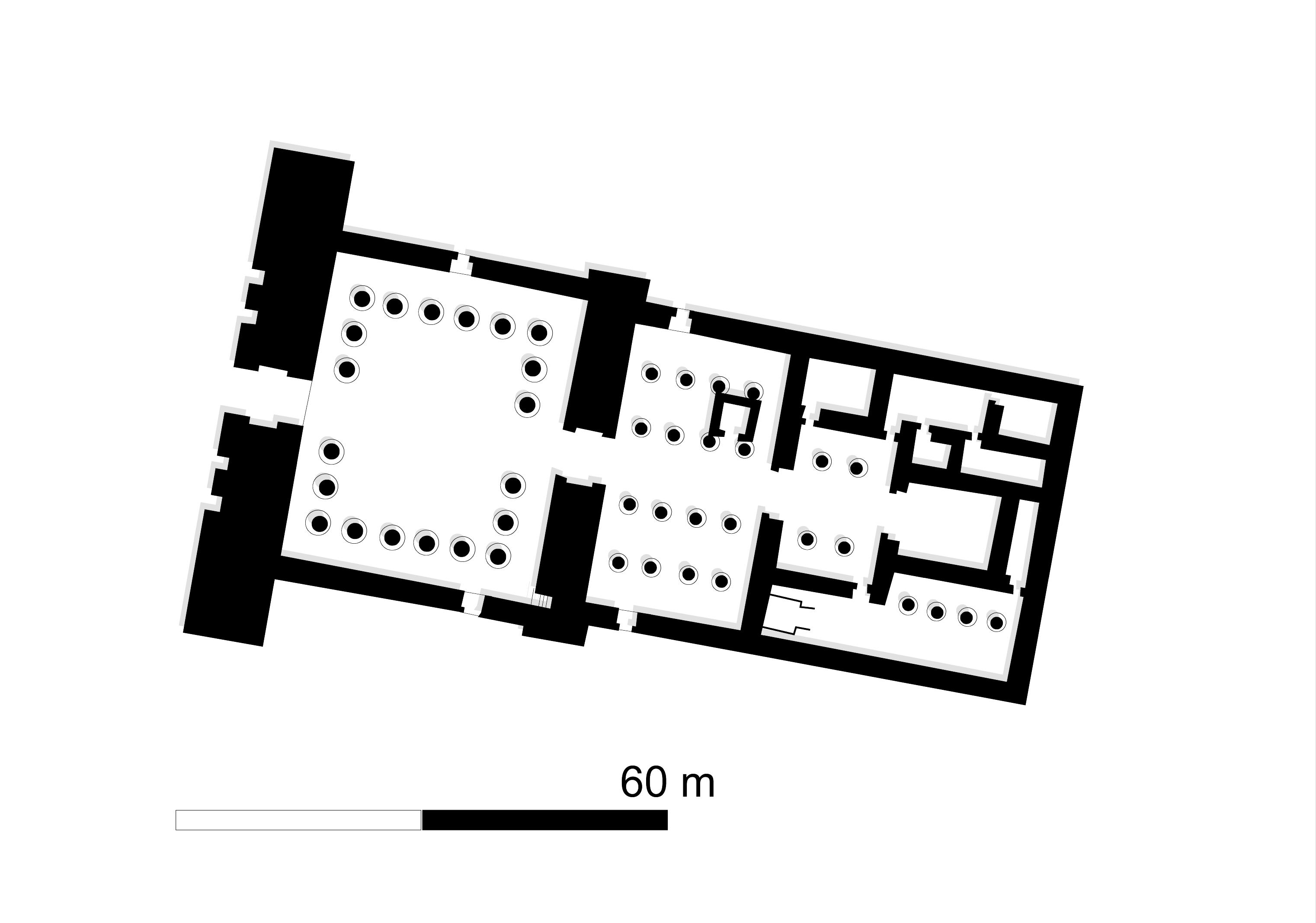
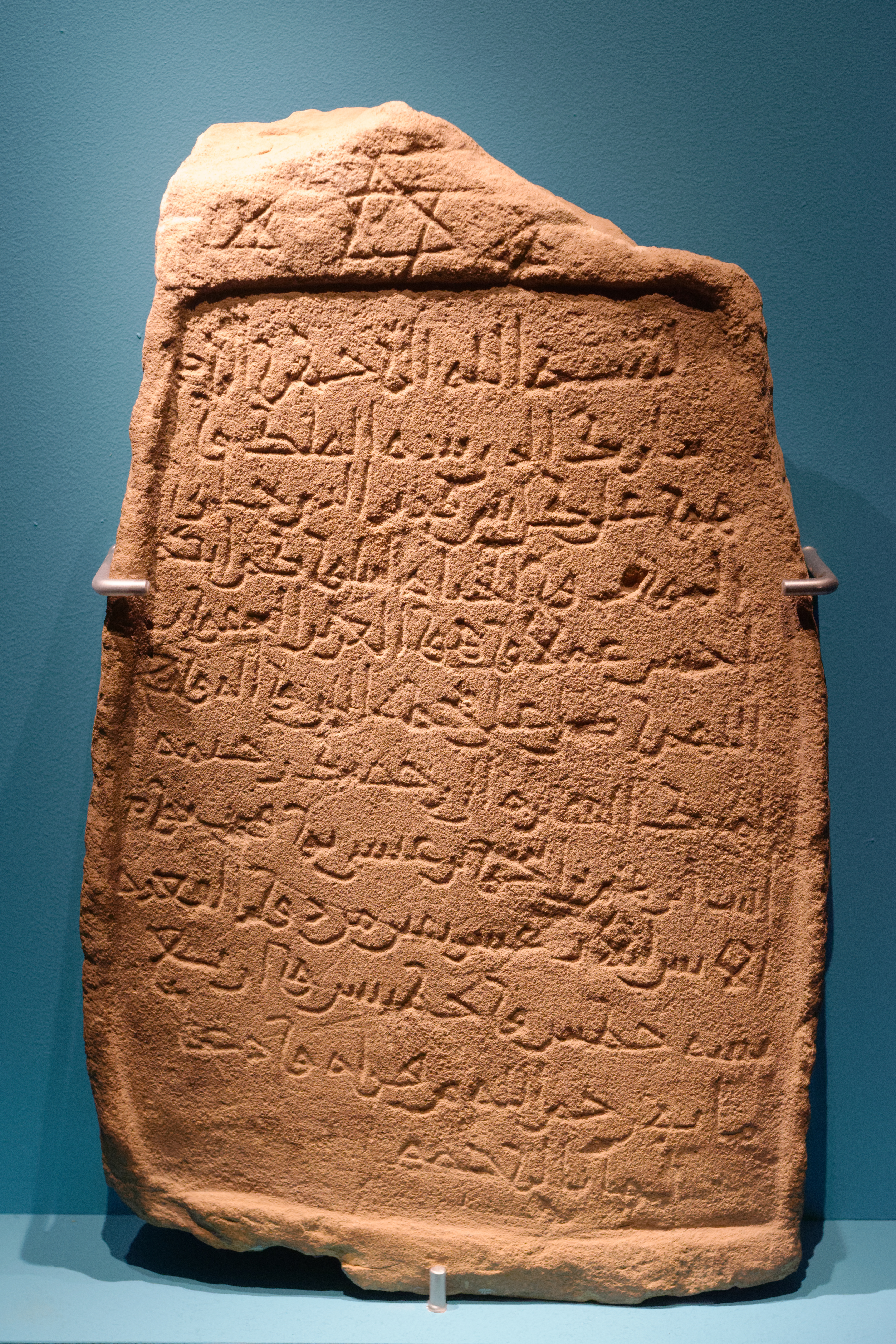
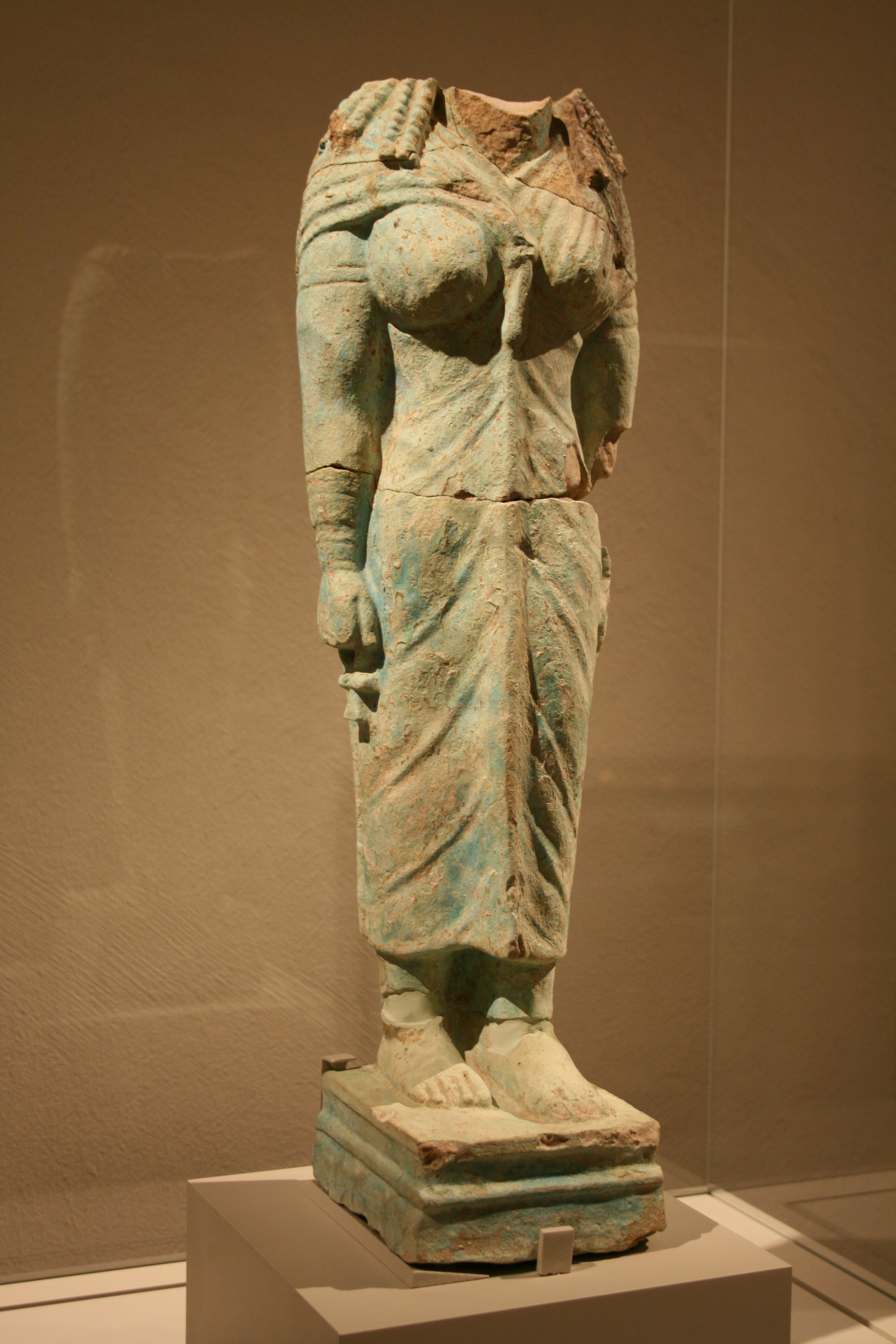
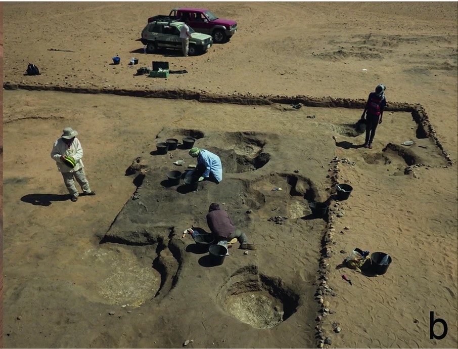
Sanam, located near the Nile River in Sudan, represents a significant archaeological site from the Napatan Period, the zenith of the Kushite Empire between 800 BCE and 300 BCE. The site comprises the remnants of a town widely believed to be Napata, the Kushite capital. Excavations conducted in the early 20th century by Francis Llewellyn Griffith uncovered a poorly preserved temple and a structure termed as a treasury, alongside a vast cemetery. The temple, attributed to King Taharqo, with enhancements by King Aspelta, signifies the religious and cultural developments of the period. The cemetery provides rare insights into the lives of common people during the Napatan Period. Sanam offers a crucial window into the socio-political and religious landscape of ancient Kush, highlighting its significance within the broader context of African archaeology.
Gallery
Explore photographs of ancient structures, artifacts, and archaeological excavations

Historical Timeline
Journey through time and discover key events in this site's history
Napatan Period Flourishing
800 BCE to 300 BCE
Temple Construction Under King Taharqo
690 BCE to 664 BCE
Temple Additions by King Aspelta
600 BCE to 580 BCE
Archaeological Features
Unique architectural and cultural elements found at this historical site
Burial and Funerary Structures
Religious and Ritual Structures
Domestic and Habitation Structures
Frequently Asked Questions
Plan Your Visit
Tours, travel arrangements, and practical information
More Sites in Sudan
Mirgissa
Fortified Nubian settlement with large fortress.
Tabo (Nubia)
Large damaged Amun temple in Nubia.
Jebel Barkal
Mesa with temples and pyramids in Sudan.
Meinarti
Stratified archaeological remains on Nile island
Naqa
Ruined Kushitic city with significant temples
Al-Khiday
Multi-period cemetery site near White Nile